Network Pulse
Every natural event our monitoring has flagged near a submarine cable - newest first. Each entry shows what happened and whether our latency measurements detected any impact.
M5.1 earthquake · 172 km ESE of Saipan, Northern Mariana Islands
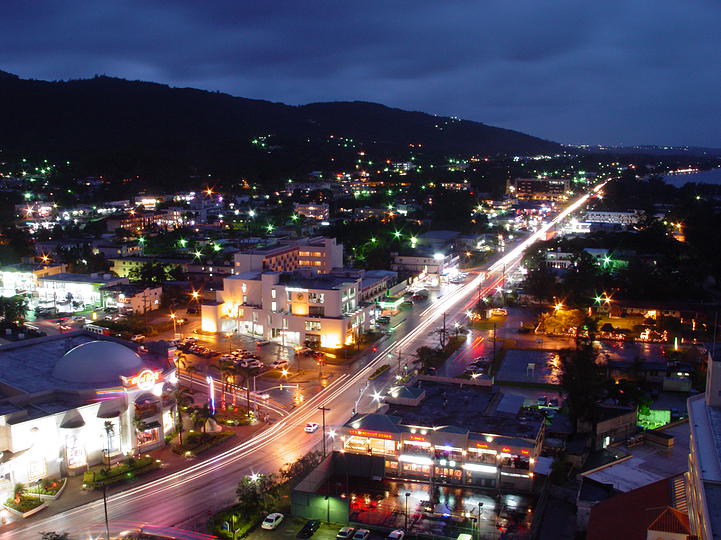
On September 16, 2026, a magnitude 5.1 earthquake occurred 172 kilometers east-southeast of Saipan in the Northern Mariana Islands. While the event was moderate in scale, its proximity to populated areas and critical infrastructure underscored the importance of robust systems in the region. The earthquake's effects were localized, and response teams monitored the situation closely to ensure public safety and infrastructure stability.
The submarine cable systems in the region demonstrated strong resilience during and after the seismic event. The Mariana-Guam Cable, connecting Saipan to Guam, maintained its typical latency of approximately 9 milliseconds. Similarly, Atisa, which links San Jose to nearby networks, sustained its average latency of 10 milliseconds. The Australia-Japan Cable (AJC), extending between Guam and Japan, also upheld stable performance at an average of 211 milliseconds. These systems, along with others in the area, continued to carry traffic without interruption, underscoring the reliability of the infrastructure.
Real-time monitoring of these and other submarine cable corridors remains active, with 2672 latency checks conducted in the last 24 hours to ensure network stability. This ongoing vigilance supports the seamless operation of critical communication links across the region.
M4.5 earthquake · 45 km NNW of Duaca, Venezuela

On September 16, 2026, a magnitude 4.5 earthquake occurred 45 km north-northwest of Duaca, Venezuela. The event was localized and affected a relatively small area, with no widespread population impacts reported. The earthquake's duration and immediate response details were not specified in the source, but the region's infrastructure demonstrated resilience during the seismic activity.
Submarine cable systems in the vicinity continued to operate without interruption, maintaining stable connectivity during and after the event. For example, the ARCOS cable, which lands at Punto Fijo, Venezuela (152 km from the earthquake's epicenter), upheld its typical latency of approximately 70 ms. Similarly, the Alonso de Ojeda cable connecting Willemstad, Curaçao, maintained its average latency of 88 ms, while the Jerry Newton cable, also landing in Willemstad, held its usual latency of 14 ms. These systems, integral to regional and international communications, demonstrated their ability to withstand external stressors while keeping traffic flowing seamlessly.
GeoCables continues to monitor these corridors in real time, ensuring stable performance across the infrastructure. With 2718 latency checks performed in the past 24 hours, the network remains under constant observation to uphold reliability and connectivity across all monitored systems.
M4.7 earthquake · 120 km S of Panguna, Papua New Guinea

On September 15, 2026, a magnitude 4.7 earthquake occurred 120 km south of Panguna, Papua New Guinea. The event was centered offshore and affected a sparsely populated area. While the earthquake was moderate in scale, its impact on local infrastructure and communities was limited, with no widespread disruptions reported. Authorities and monitoring agencies continue to observe the region to ensure safety and preparedness.
The submarine cable infrastructure in the vicinity demonstrated notable resilience during this event. The Coral Sea Cable System (CS²), which connects Australia, Papua New Guinea, and the Solomon Islands, maintained stable performance throughout, with its Taro, Solomon Islands landing point located approximately 135 km from the earthquake's epicenter. Over the past week, this system has consistently operated at an average latency of ~224ms across monitored checks. These results underscore the robustness of the network in maintaining connectivity despite seismic activity in the region.
Real-time monitoring of these and other submarine cable systems continues around the clock, ensuring that any changes in performance are promptly identified and analyzed. The global network remains under constant observation to support reliable communication across all monitored corridors.
M4.9 earthquake · 66 km SSW of Patea, New Zealand
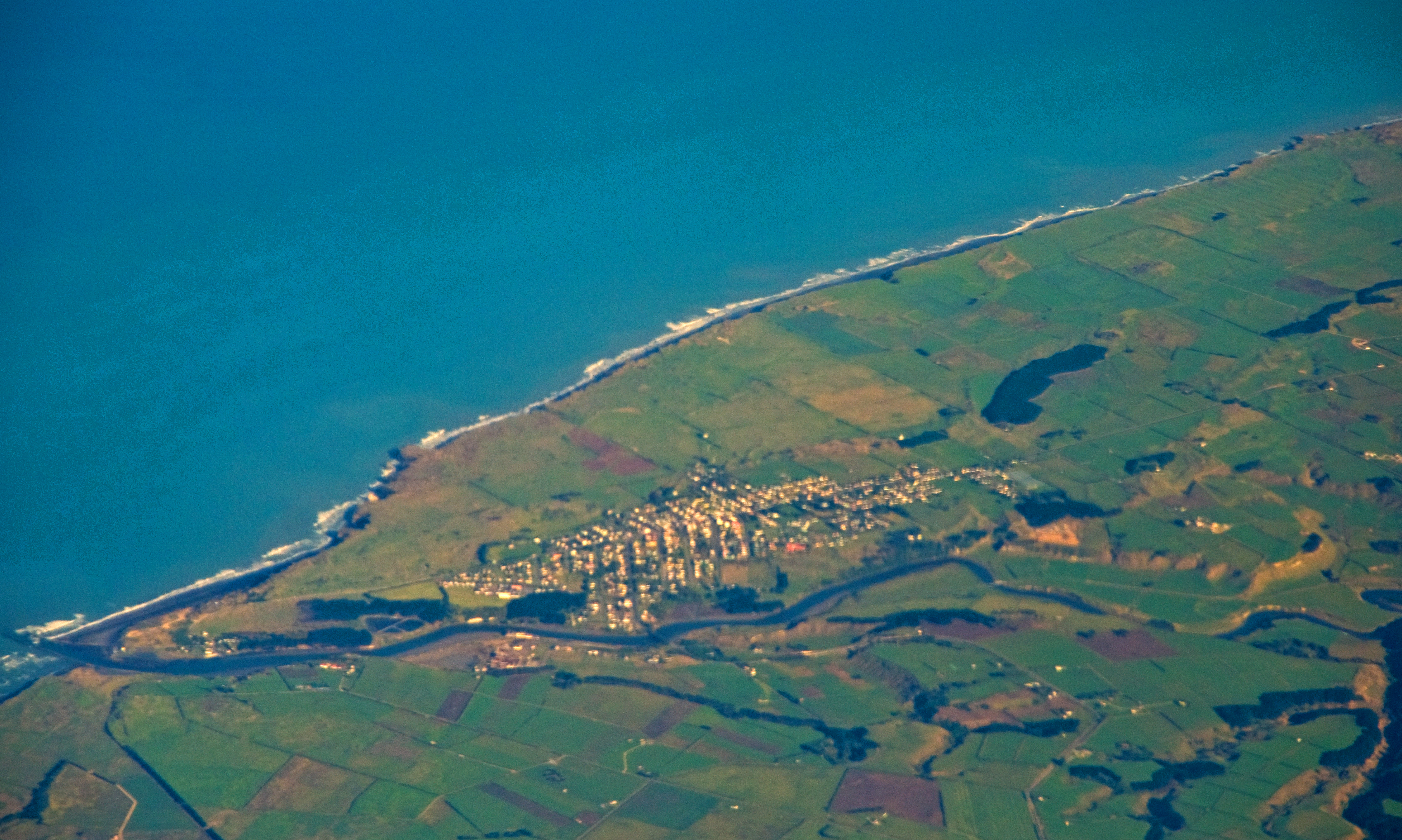
On September 15, 2026, a magnitude 4.9 earthquake occurred 66 km south-southwest of Patea, New Zealand. The event was localized, with its impacts primarily confined to the immediate region. Authorities responded promptly, and no widespread disruptions were reported in the affected area. Monitoring systems continue to track developments in the region to ensure public safety and infrastructure integrity.
Key submarine cable systems near the event, including the Tasman Ring Network (landing at New Plymouth, 141 km from the epicenter) and the Tasman Global Access (TGA) Cable (landing at Raglan, 286 km from the epicenter), demonstrated robust performance throughout. These cables, which connect New Zealand to critical international networks, maintained stable latency values during the period, with the Tasman Ring Network holding an average of ~275ms and the TGA Cable maintaining ~133ms over the past week. These corridors highlight the resilience of the region’s submarine cable infrastructure.
Monitoring of these and other cable systems continues in real time, ensuring the stability and reliability of global connectivity. Our systems remain vigilant, conducting thousands of checks daily to safeguard the performance of critical communication links.
M4.6 earthquake · 49 km E of Minami-Sōma, Japan

On September 14, 2026, a magnitude 4.6 earthquake occurred 49 kilometers east of Minami-Sōma, Japan. The event was localized, with its impact concentrated near the epicenter. Authorities responded promptly, and no widespread disruptions to critical infrastructure were reported in the region.
The submarine cable systems in the vicinity demonstrated robust resilience during this seismic event. Key systems such as APCN-2, which connects Kitaibaraki, Japan (113 km from the epicenter), maintained an average round-trip time of ~93 ms. Similarly, the Topaz cable, landing at Takahagi, Japan (123 km from the event), and EAC-C2C, which lands at Ajigaura, Japan (159 km from the event), upheld their typical latencies of ~144 ms and ~91 ms, respectively. These systems, vital for regional and international connectivity, continued to operate within expected performance levels, showcasing the strength of the submarine cable infrastructure in the region.
Our monitoring systems remain actively engaged, conducting real-time checks across these and other submarine cable corridors. With 2682 latency checks performed in the past 24 hours, the network's performance is under continuous observation to ensure stability and reliability.
M5.1 earthquake · 50 km N of Ruteng, Indonesia

An M5.1 earthquake occurred on September 14, 2026, approximately 50 km north of Ruteng, Indonesia. The event was localized within the region, and its effects were primarily concentrated near the epicenter. Authorities responded promptly, and the situation is being monitored closely. The population in the affected area is accustomed to seismic activity, and preparedness measures are in place to address such events.
Submarine cable infrastructure in the region demonstrated robust resilience during the earthquake. Systems such as the Sape-Labuan Bajo-Ende-Kupang cable (connecting Labuan Bajo, Indonesia, 63 km from the epicenter) and the Indonesia Tengah Cable Systems (landing at Labuhan Bajo, 66 km from the event) maintained their typical round-trip latencies of approximately 347 ms and 345 ms, respectively. The Mataram Kupang Cable System (MKCS), which lands at Ende, Indonesia, 158 km from the epicenter, also continued to perform within its usual latency range of ~347 ms. These systems, along with others in the region, successfully supported uninterrupted traffic during and after the seismic activity.
Monitoring of these and other submarine cable systems in the region remains active, with 2762 latency checks conducted across 713 systems in the last 24 hours. This ongoing vigilance ensures the continued reliability and performance of global connectivity.
M4.9 earthquake · 86 km SSW of Isangel, Vanuatu

On September 13, 2026, a magnitude 4.9 earthquake occurred 86 km south-southwest of Isangel, Vanuatu. The event, while moderate in scale, was significant for the region, which is situated along active tectonic boundaries. Local authorities responded promptly, and the event was closely monitored by seismic networks. No major disruptions to essential services were reported.
The submarine cable infrastructure in the vicinity demonstrated strong resilience during the earthquake. Key systems such as Gondwana-2/Picot-2, connecting Tadine, New Caledonia, to the broader Pacific network, maintained an average latency of approximately 62 milliseconds. Similarly, the Interchange Cable Network 1 (ICN1), which links Port Vila, Vanuatu, to international networks, held steady at an average of 81 milliseconds. Gondwana-1, with a landing point in Noumea, New Caledonia, also maintained its usual latency of around 117 milliseconds. These systems continued to carry traffic seamlessly, underscoring the robustness of the region's submarine cable infrastructure.
Real-time monitoring of these and other cable systems remains active, ensuring continuous oversight of network performance across the region. This ongoing vigilance supports the stability and reliability of global communications infrastructure.
M4.7 earthquake · 25 km N of Mutsu, Japan

On September 13, 2026, a magnitude 4.7 earthquake occurred 25 km north of Mutsu, Japan. The event impacted a region with a population of approximately 50,000 and lasted several seconds. Local authorities responded promptly, ensuring safety measures were in place for affected areas. While the earthquake was moderate in scale, its proximity to critical infrastructure warranted close observation.
The submarine cable systems in the region demonstrated strong resilience during the event. The Hokkaido-Sakhalin Cable System (HSCS), which connects Ishikari, Japan, to Sakhalin, Russia, continued to operate within its expected performance range, maintaining an average latency of approximately 50 milliseconds during recent checks. This corridor, located 184 km from the earthquake's epicenter, successfully carried traffic without interruption. Across the broader network, 2636 latency checks conducted over the last 24 hours confirmed the stability of monitored systems.
Real-time monitoring remains active across all submarine cable systems in the region. These corridors are under continuous observation to ensure consistent performance and reliability, providing critical connectivity for global communications. GeoCables remains committed to delivering accurate and timely assessments of submarine cable network stability.
M4.8 earthquake · 17 km WSW of Lixoúri, Greece

On September 12, 2026, a magnitude 4.8 earthquake occurred 17 km west-southwest of Lixoúri, Greece. The event was localized near the Ionian Sea and had a moderate magnitude, with potential to affect nearby infrastructure. Local authorities responded promptly to assess any impacts in the region, ensuring public safety and continuity of services.
The submarine cable systems in the vicinity demonstrated robust resilience during and after the seismic activity. The Thetis cable, which connects Kavos, Greece, to regional networks, maintained an average latency of ~184ms over the past week. Similarly, the Adria-1 cable, landing at Corfu, Greece, and facilitating connectivity across the Adriatic, held steady at ~56ms. The Italy-Greece 1 (IG-1) system, linking Aethos, Greece, to Italy, also performed consistently with an average latency of ~77ms. These cables, along with others in the area, continued to carry traffic without interruption, underscoring the reliability of the infrastructure.
Monitoring of these cable systems and their corridors remains active in real time, with 2,696 latency checks conducted over the past 24 hours. The network's stability is continuously observed to ensure reliable global connectivity.
M4.7 earthquake · 94 km WNW of Ternate, Indonesia

On September 12, 2026, a magnitude 4.7 earthquake occurred approximately 94 kilometers west-northwest of Ternate, Indonesia. The event's location places it offshore, with potential impacts on nearby coastal areas. While the earthquake's magnitude suggests moderate seismic activity, further details on its duration and specific effects on the affected population or infrastructure have not been provided by the authoritative source. Local response measures are not specified in the source report.
GeoCables' monitoring systems have detected one latency anomaly and one active alert on submarine cables within the earthquake's vicinity. Eight cables have landing points within 350 kilometers of the event: Palapa Ring Middle and SMPCS Packet-1 (both landing at Ternate, Indonesia, 91 kilometers from the epicenter), SEA-US (Kauditan, 172 kilometers), and five systems landing at Manado, Indonesia, 200 kilometers away (Asia Connect Cable-1, Barat Timur Indonesia-1 and -2, Bifrost, and the Indonesia Global Gateway System). Latency measurements remain stable across most systems, with average round-trip times ranging from ~122ms (IGG System) to ~343ms (Palapa Ring Middle). Monitoring continues to ensure the resilience of these critical communication corridors.
M6.6 earthquake · 115 km NNE of Teluknaga, Indonesia
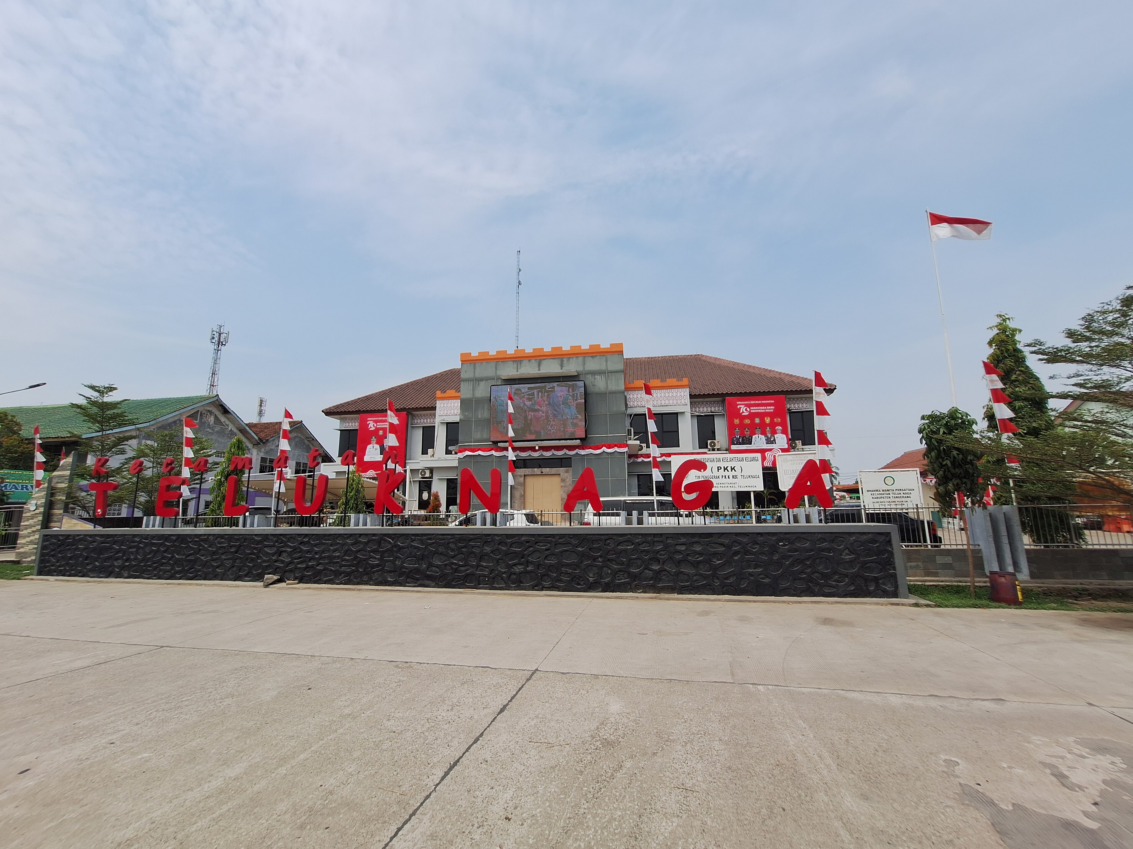
On September 12, 2026, a magnitude 6.6 earthquake occurred 115 km north-northeast of Teluknaga, Indonesia. The event, classified at a green alert level by authoritative sources, affected the surrounding region but did not trigger significant disruptions. Monitoring systems and response frameworks remain in place to assess any developments in the area.
The submarine cable infrastructure near the event demonstrated robust resilience. Key systems such as Apricot (connecting regional hubs with an average latency of ~129ms) and JAKABARE (~125ms) continued to perform within expected parameters. These cables, along with others landing at Tanjung Pakis, Indonesia, carried traffic seamlessly through the seismic activity, showcasing the reliability of critical connectivity links in the region. Across the last 24 hours, 2781 latency checks across 713 monitored systems confirmed steady performance across these vital corridors.
Real-time monitoring of these and all other monitored systems remains active, ensuring continuous oversight of submarine cable performance. The infrastructure's ability to maintain stability during such events highlights its critical role in global communications.
M5.9 earthquake · 253 km ENE of Lospalos, Timor Leste

On September 11, 2026, a magnitude 5.9 earthquake occurred 253 km ENE of Lospalos, Timor Leste. The event affected a sparsely populated area and did not result in widespread disruption. Authorities responded promptly, and monitoring systems tracked the seismic activity in real time. The earthquake's impact zone was within 350 km of several submarine cable systems, highlighting the importance of resilient infrastructure in the region.
The Palapa Ring East cable, which lands at Tiakur, Indonesia (159 km from the event), and the SMPCS Packet-1 cable, landing at Bandaneria, Indonesia (324 km from the event), continued to operate seamlessly during and after the earthquake. These systems, connecting critical points in Southeast Asia, maintained their average round-trip latencies of ~296 ms and ~288 ms respectively, demonstrating their robust design and ability to withstand seismic events. Over the past 24 hours, 2804 latency checks were conducted across 713 monitored submarine cable systems, ensuring consistent performance throughout the network.
Real-time monitoring of these corridors remains active, ensuring ongoing stability and performance. The infrastructure continues to support uninterrupted connectivity, underscoring its resilience in the face of natural events.