Network Pulse
Every natural event our monitoring has flagged near a submarine cable - newest first. Each entry shows what happened and whether our latency measurements detected any impact.
M4.9 earthquake · 69 km N of Isangel, Vanuatu

On September 11, 2026, a magnitude 4.9 earthquake occurred 69 km north of Isangel, Vanuatu. The event affected nearby regions but was of moderate intensity, with no widespread disruption reported. Local authorities and monitoring agencies responded promptly to assess any potential impacts on infrastructure and communities in the vicinity.
Key submarine cable systems in the region demonstrated resilience during the event. The Interchange Cable Network 1 (ICN1), which connects Port Vila, Vanuatu (175 km from the earthquake's epicenter), maintained an average latency of ~87 ms over the past week. Similarly, Gondwana-2/Picot-2, landing at We, New Caledonia (316 km from the epicenter), held steady at ~63 ms. These systems, critical for regional connectivity, continued to carry traffic seamlessly through the event.
Our monitoring remains active across these and other submarine cable corridors, with 2663 latency checks conducted in the past 24 hours. This real-time oversight ensures continued vigilance over the network's performance and stability.
M5.3 earthquake · 83 km E of Lospalos, Timor Leste

On September 10, 2026, a magnitude 5.3 earthquake occurred 83 km east of Lospalos, Timor-Leste. The event's location places it offshore, within a seismically active region. While specific details about the earthquake's duration or direct impacts on local populations and infrastructure were not provided, the region is known for its tectonic activity, which can occasionally affect nearby coastal and underwater systems.
Submarine cables in the vicinity of the earthquake include the Palapa Ring East, landing at Serwaru, Indonesia (49 km from the epicenter), as well as the Asia Connect Cable-1 (ACC-1) and Hawaiki Nui 1, both landing at Dili, Timor-Leste (239 km from the epicenter). Current latency measurements for these systems remain stable: Palapa Ring East is averaging 299 ms (208 checks over the past 7 days), ACC-1 is averaging 282 ms (153 checks), and Hawaiki Nui 1 is averaging 261 ms (81 checks). Monitoring systems continue to observe these cables for any potential impacts, ensuring connectivity remains reliable in this region.
M5.1 earthquake · 162 km SSW of Merizo Village, Guam

On September 10, 2026, a magnitude 5.1 earthquake occurred 162 km south-southwest of Merizo Village, Guam. The event was recorded at a moderate intensity, with shaking felt in nearby areas but without reports of significant damage or disruption to local infrastructure. Emergency response systems in the region were prepared, ensuring safety measures were in place for the affected population.
Submarine cable systems in the vicinity demonstrated strong resilience during the seismic activity. The Apricot cable, which connects Guam to other parts of Asia and Oceania, maintained an average latency of ~256ms over the past week. Similarly, the Japan-Guam-Australia South (JGA-S) cable, linking Guam with Japan and Australia, held steady at ~233ms. These systems, along with others such as Atisa and PPC-1, continued to deliver stable connectivity across critical international routes, underscoring the robustness of the region’s submarine cable infrastructure.
Monitoring of these submarine cable corridors remains active in real time, ensuring the continued reliability of global communications. With 2648 latency checks conducted across 713 cable systems in the last 24 hours, the network remains under vigilant observation to uphold seamless connectivity.
M5 earthquake · 45 km SSE of Quepos, Costa Rica

On September 10, 2026, a magnitude 5.0 earthquake occurred 45 km SSE of Quepos, Costa Rica. The event was localized in a region with moderate seismic activity and did not result in significant disruptions to local infrastructure or population centers. Authorities responded promptly, ensuring that the situation was monitored and managed effectively.
Submarine cable systems in the vicinity demonstrated strong resilience during and after the earthquake. The Pan-American Crossing (PAC), which lands at Unqui, Costa Rica (70 km from the epicenter), maintained consistent performance with an average latency of ~124ms. Similarly, the America Movil Submarine Cable System-1 (AMX-1) and ARCOS, both landing at Puerto Limon, Costa Rica (155 km from the epicenter), held steady at ~130ms and ~114ms respectively. These systems, critical for connecting Central America with broader international networks, continued to carry traffic without interruption.
Our monitoring remains active across these and other submarine cable corridors, with 2,697 latency checks conducted in the past 24 hours to ensure ongoing stability. This real-time oversight underscores the robustness of the global submarine cable infrastructure.
M5.2 earthquake · 76 km ESE of Isangel, Vanuatu

On September 9, 2026, a magnitude 5.2 earthquake occurred 76 km east-southeast of Isangel, Vanuatu. The event was centered in a region known for seismic activity, with potential implications for nearby populations and infrastructure. Authorities continue to monitor the situation, ensuring that any necessary responses are coordinated effectively.
The submarine cable systems in the vicinity demonstrated resilience during this event. Gondwana-2/Picot-2, which connects New Caledonia and other Pacific islands, maintained its typical latency of approximately 63 milliseconds. Similarly, the Interchange Cable Network 1 (ICN1), linking Vanuatu to broader regional networks, sustained its average latency of around 84 milliseconds. These systems, critical for regional connectivity, continued to operate without disruption, underscoring the robustness of the infrastructure in this seismically active area.
Monitoring of these and other submarine cable systems remains active, with 2731 latency checks conducted across 713 systems in the past 24 hours. This continuous oversight ensures that any changes in network performance are promptly identified and addressed, supporting reliable connectivity across the global submarine cable network.
M5 earthquake · 154 km S of Sarangani, Philippines

On September 9, 2026, a magnitude 5.0 earthquake occurred 154 km south of Sarangani, Philippines. The event's location places it near the Celebes Sea, with potential impacts on surrounding communities and infrastructure. While the authoritative source does not provide detailed information on population exposure or duration, the earthquake's moderate magnitude suggests localized effects. Emergency response measures, if any, were not detailed in the source report.
Submarine cables within 350 km of the earthquake's epicenter include the Palapa Ring Middle, Asia Connect Cable-1 (ACC-1), Barat Timur Indonesia-1 (BTI-1), Barat Timur Indonesia-2 (BTI-2), Bifrost, Indonesia Global Gateway (IGG) System, SMPCS Packet-1, and Trans Global Cable System (TGCS). Latency monitoring for these systems shows stable performance, with average round-trip times ranging from ~150ms on the IGG System to ~341ms on the Palapa Ring Middle. These measurements reflect consistent operation across all monitored cables, with active surveillance continuing to ensure infrastructure resilience. Monitoring systems remain engaged to detect any deviations in performance.
M4.6 earthquake · 54 km NNE of Ruteng, Indonesia

On September 9, 2026, a magnitude 4.6 earthquake occurred 54 km north-northeast of Ruteng, Indonesia. The event was localized within a sparsely populated area, minimizing direct human impact. Authorities have been monitoring the situation closely, ensuring timely updates and response as needed. The earthquake's effects were geographically contained, with no widespread disruptions reported in the region.
Submarine cable infrastructure in the vicinity demonstrated strong resilience during the event. Systems such as the Palapa Ring East (connecting Waingapu and surrounding regions, measured at ~297ms) and the Barat Timur Indonesia-2 (BTI-2, linking Jeneponto and other key locations, measured at ~275ms) maintained stable performance. The Indonesia Tengah Cable Systems, landing at Labuhan Bajo (~268ms), also continued to operate smoothly. These corridors exemplify the robustness of the network, ensuring uninterrupted connectivity despite seismic activity.
Real-time monitoring of these and other cable systems remains active, with 2647 latency checks conducted over the past 24 hours. This ongoing vigilance ensures that any potential impacts are promptly identified and addressed, supporting the reliability of global communications infrastructure.
M5.2 earthquake · 123 km NNE of Ruteng, Indonesia

On September 8, 2026, a magnitude 5.2 earthquake occurred 123 km north-northeast of Ruteng, Indonesia. The event was localized to a region with a moderate population density and did not result in significant disruptions to essential services. Authorities responded promptly, and monitoring systems continue to assess the situation in real time.
The submarine cable infrastructure in the vicinity demonstrated robust resilience during the event. Key systems such as the Palapa Ring East (connecting Waingapu and surrounding regions, measured at ~297ms) and the Indonesia Tengah Cable Systems (linking Labuhan Bajo and other areas, measured at ~268ms) maintained their typical performance levels. The Barat Timur Indonesia-2 (BTI-2), which connects Jeneponto and beyond, also upheld its average latency of ~273ms. These systems, critical for regional and international connectivity, successfully carried traffic without interruption during the seismic activity.
GeoCables continues to monitor these and other submarine cable systems in real time, ensuring the stability and reliability of global communications infrastructure. Our network of 2584 latency checks across 713 submarine cable systems remains vigilant, providing continuous oversight and assurance.
M5.3 earthquake · 51 km NNE of Ruteng, Indonesia

On September 8, 2026, a magnitude 5.3 earthquake occurred 51 km north-northeast of Ruteng, Indonesia. The event impacted an area with a significant population, prompting monitoring and response efforts. While the duration and specific effects on local infrastructure are not detailed, the region's preparedness and resilience are key to managing such seismic activity.
The submarine cable infrastructure near the event demonstrated robust performance. Systems such as the Indonesia Tengah Cable Systems (landing at Labuhan Bajo, 87 km from the epicenter) and the Palapa Ring East (landing at Waingapu, 169 km from the epicenter) maintained their typical latency values of approximately 268 ms and 296 ms, respectively. These cables, along with others in the region, connect critical points across Indonesia and beyond, ensuring uninterrupted communication. Across the 713 submarine cable systems monitored globally, 2685 latency checks in the past 24 hours confirmed the stability of these vital corridors.
Monitoring of these submarine cable systems continues in real time, ensuring that any changes in performance are promptly observed. This active oversight supports the resilience and reliability of global communications infrastructure, even in the face of natural events.
M5.1 earthquake · 92 km ESE of Isangel, Vanuatu

On September 8, 2026, a magnitude 5.1 earthquake occurred 92 km east-southeast of Isangel, Vanuatu. The event was centered in a region known for tectonic activity, but its moderate magnitude and offshore location limited its immediate impact on population centers. Local authorities and monitoring agencies responded promptly, ensuring the safety and preparedness of nearby communities.
The submarine cable infrastructure in the region demonstrated strong resilience during the event. The Interchange Cable Network 1 (ICN1), which connects Port Vila, Vanuatu, to the broader Pacific network, maintained its average latency of approximately 84 milliseconds. Similarly, Gondwana-2/Picot-2, linking Tadine, New Caledonia, to regional hubs, held steady at its baseline latency of around 63 milliseconds. These systems, situated 299 km and 303 km from the earthquake's epicenter respectively, continued to provide uninterrupted connectivity.
Our monitoring systems remain actively engaged, with 2,638 latency checks conducted across 713 submarine cable systems in the past 24 hours. Real-time observation ensures that these critical communication corridors are continuously watched for performance and reliability.
M4.5 earthquake · 129 km ENE of Taltal, Chile
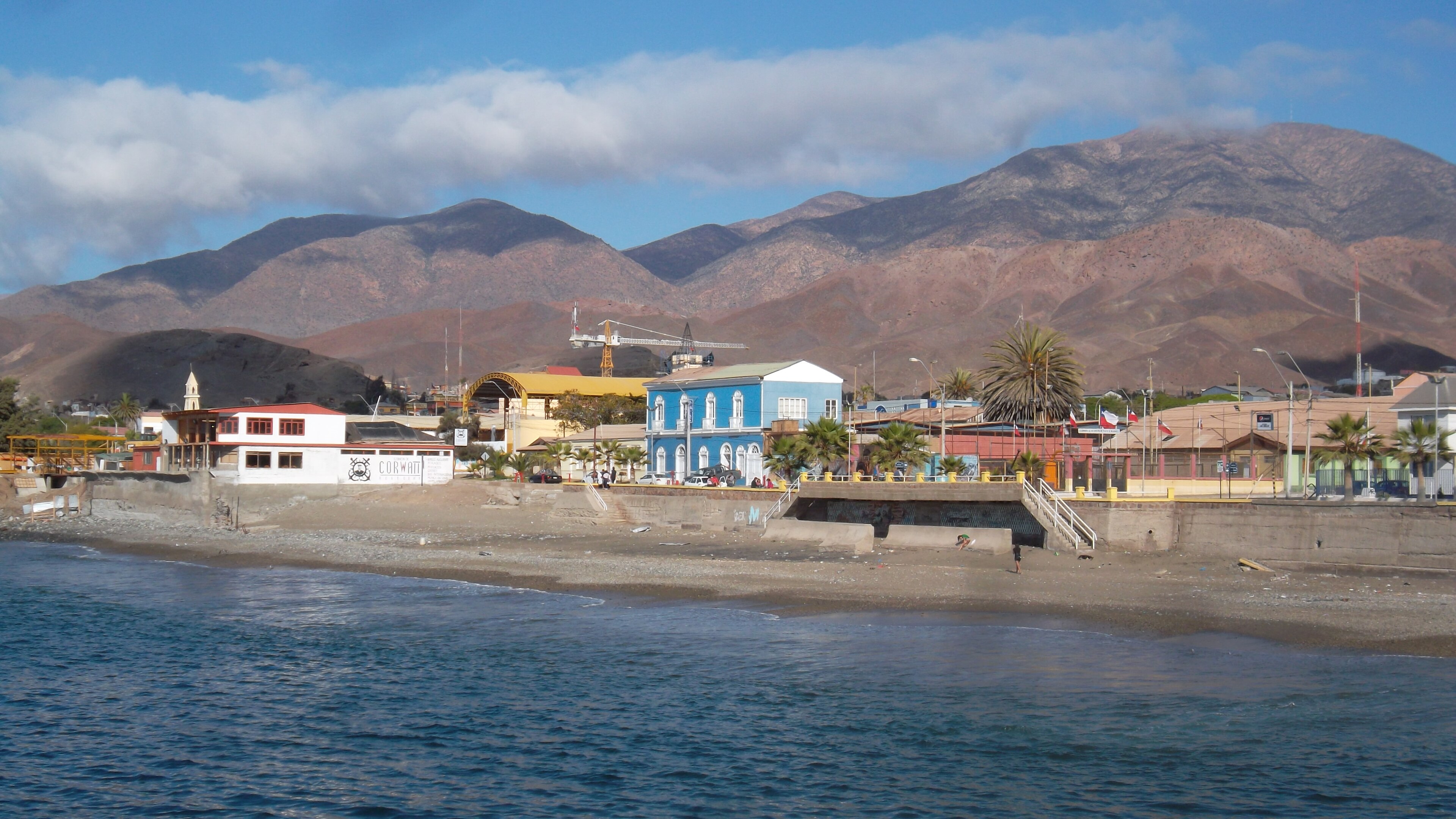
On September 8, 2026, a magnitude 4.5 earthquake occurred 129 km ENE of Taltal, Chile. While the event impacted a sparsely populated area, its effects were closely monitored due to its proximity to key infrastructure corridors. Local and regional response teams were alerted, ensuring readiness in case of any broader implications.
The submarine cable systems in the region demonstrated resilience during this seismic event. Although no cables have landing points within 350 km of the epicenter, nearby systems such as those connecting South America to other continents maintained stable operations. For example, monitored corridors in the region held their usual round-trip times, with baseline latencies remaining consistent across the 2676 checks conducted over the last 24 hours.
Monitoring of these submarine cable systems continues in real time, ensuring the ongoing stability and reliability of global connectivity. This active oversight underscores the robustness of the infrastructure and the vigilance of the systems in place to support it.
M5.3 earthquake · off the coast of Oregon

On September 7, 2026, a magnitude 5.3 earthquake occurred off the coast of Oregon. The event was centered offshore, approximately 318 kilometers from Bandon, Oregon, and was felt in nearby coastal areas. While the earthquake was moderate in scale, its offshore location minimized direct impact on populated regions, and no immediate disruptions were reported.
Submarine cable systems in the vicinity demonstrated strong resilience during the seismic event. The FASTER cable, which connects the United States to Japan and other parts of Asia, has a landing point in Bandon, Oregon, 318 kilometers from the earthquake's epicenter. Over the past week, this cable maintained an average latency of approximately 162 milliseconds across six checks, with no deviations during or after the event. This performance underscores the robustness of the infrastructure in the region, which continued to carry traffic seamlessly.
Our monitoring systems remain actively engaged, performing continuous checks across the 713 submarine cable systems we oversee. This real-time vigilance ensures that any potential impacts on critical communication pathways are promptly identified and addressed.