Network Pulse
Every natural event our monitoring has flagged near a submarine cable - newest first. Each entry shows what happened and whether our latency measurements detected any impact.
M4.7 earthquake · 54 km SE of Shima, Japan
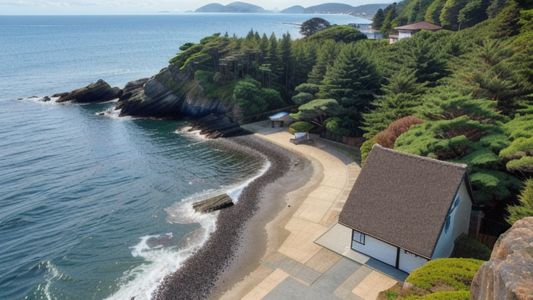
On September 20, 2026, a magnitude 4.7 earthquake occurred 54 kilometers southeast of Shima, Japan. The event was localized, with its effects primarily concentrated near the epicenter. Authorities reported no significant disruptions to local infrastructure, and response systems in the region remained on standby to address any potential aftershocks or related impacts.
The submarine cable infrastructure in the area demonstrated robust resilience during the event. Key systems such as the Asia Pacific Gateway (APG), the Australia-Japan Cable (AJC), and FASTER, all of which land at Shima, Japan, continued to operate within their typical performance ranges. For example, APG maintained an average latency of approximately 158ms, while AJC and FASTER held steady at around 162ms and 161ms, respectively. These cables, critical for connecting Japan to other parts of Asia and beyond, effectively carried traffic without interruption, underscoring their reliability even in the vicinity of seismic activity.
Monitoring of these and other submarine cable systems remains active in real time. With 1,958 latency checks conducted across 713 systems in the last 24 hours, the network continues to be closely observed to ensure uninterrupted connectivity across all monitored corridors.
M6.4 earthquake · 49 km NNE of Kainantu, Papua New Guinea

On September 20, 2026, a magnitude 6.4 earthquake occurred 49 km NNE of Kainantu, Papua New Guinea. The event's source alert level was green, indicating minimal immediate impact to the affected region. The quake's proximity to population centers and infrastructure required attention, but response systems reported stable conditions following the event. Monitoring tools and real-time notifications ensured ongoing situational awareness in the area.
Submarine cables near the event, including the PIPE Pacific Cable-1 (PPC-1), demonstrated resilience during the earthquake. PPC-1, which connects Papua New Guinea to Australia and other Pacific regions, held steady at an average latency of 171 ms over 68 checks conducted in the past week. This stability underscores the robustness of critical communication pathways in the region, even under seismic stress. Across the 713 submarine cable systems monitored globally, 2036 latency checks over the last 24 hours confirmed the infrastructure's ability to maintain uninterrupted traffic.
Real-time monitoring continues across these corridors, ensuring reliable performance and rapid detection of any future changes. The network's stability reflects the strength of the systems in place and the ongoing vigilance of monitoring efforts.
M5.3 earthquake · 108 km ESE of Yigo Village, Guam

On September 20, 2026, a magnitude 5.3 earthquake occurred 108 km east-southeast of Yigo Village, Guam. The event affected an area within a 350 km radius, with local populations experiencing the tremor. Authorities responded promptly, and monitoring systems tracked the event in real time to assess its impact on regional infrastructure.
The submarine cable systems in the vicinity demonstrated strong resilience during the earthquake. Key systems such as the Asia Connect Cable-1 (ACC-1), connecting Guam to broader Asia-Pacific networks, maintained an average latency of ~246ms across 2,629 checks in the past week. Similarly, the Guam Okinawa Kyushu Incheon (GOKI) system, which links Guam to East Asia, held steady at ~118ms over 13 checks during the same period. These results reflect the robustness of the infrastructure in the region, ensuring uninterrupted connectivity despite seismic activity.
Monitoring of these submarine cable corridors continues in real time, supported by 2076 latency checks conducted across 713 systems in the last 24 hours. This active oversight ensures that any changes in performance are promptly identified and addressed, reinforcing the stability of global communications networks.
M4.6 earthquake · 25 km NW of Ushibukamachi, Japan

On September 19, 2026, a magnitude 4.6 earthquake occurred 25 km northwest of Ushibukamachi, Japan. The event impacted a localized area near the epicenter, with no widespread disruptions reported. Authorities responded promptly, with monitoring systems providing real-time updates to ensure safety and situational awareness in the affected region.
Submarine cable infrastructure in the vicinity demonstrated strong resilience during the earthquake. The Korea-Japan Cable Network (KJCN), which connects Fukuoka, Japan, to South Korea, maintained stable performance throughout the event. Recent monitoring of this system showed average round-trip latency of approximately 78 ms, with consistent checks confirming its operational stability. These cables, critical for regional connectivity, continued to handle traffic seamlessly during the seismic activity.
GeoCables actively monitors submarine cable systems in real time, ensuring that connectivity corridors remain robust and reliable. With 2413 latency checks conducted in the past 24 hours, our systems continue to provide comprehensive oversight of network performance across the cables we track.
M5.2 earthquake · 210 km WNW of Abepura, Indonesia
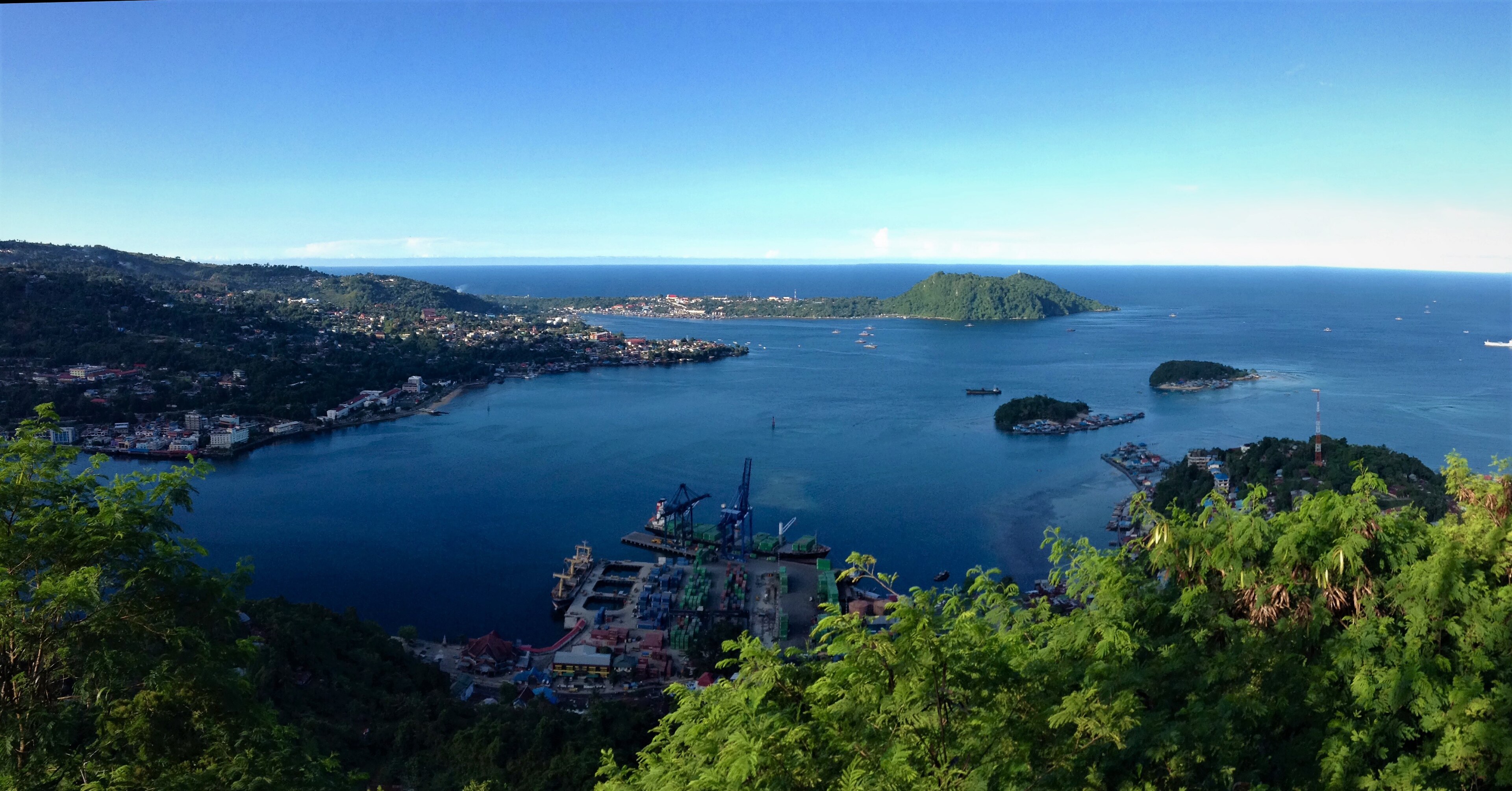
On September 19, 2026, a magnitude 5.2 earthquake occurred 210 km west-northwest of Abepura, Indonesia. The event impacted a sparsely populated area and lasted briefly, with local authorities responding promptly to assess any effects on nearby communities and infrastructure. While the earthquake's moderate magnitude was notable, it did not result in widespread disruption.
Submarine cable systems in the region demonstrated strong resilience during the event. The SMPCS Packet-2 cable, landing at Sarmi, Indonesia (63 km from the epicenter), maintained an average latency of approximately 303 ms, consistent with its baseline performance. Similarly, the Palapa Ring East cable, landing at Yapen, Indonesia (304 km from the epicenter), upheld its typical latency of around 344 ms. These systems, which connect critical points across Indonesia, continued to carry traffic seamlessly through the event, reinforcing their reliability under seismic conditions. Across the network, 2452 latency checks conducted in the last 24 hours confirmed stable operations.
Real-time monitoring of these cable corridors remains active, ensuring ongoing visibility into their performance. GeoCables continues to track infrastructure stability across all monitored systems, providing continuous oversight and technical assurance.
M4.8 earthquake · 5 km SW of Guánica, Puerto Rico
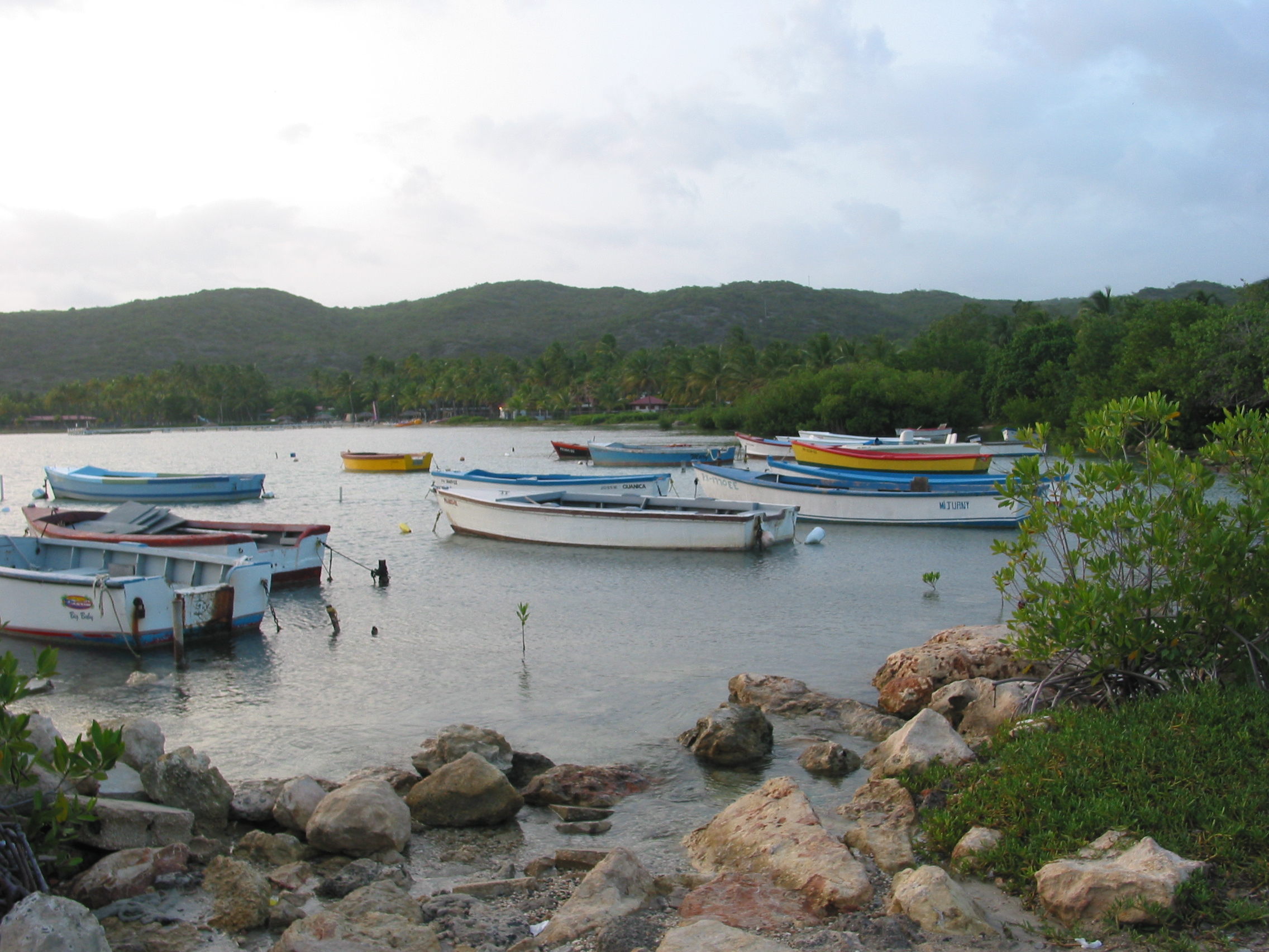
On September 18, 2026, a magnitude 4.8 earthquake occurred 5 km southwest of Guánica, Puerto Rico. The event was recorded at a green alert level, indicating minimal expected impact on population and infrastructure. The earthquake was localized, with no significant disruptions reported in the surrounding area. Authorities and monitoring systems responded promptly to assess the situation.
The submarine cable infrastructure in the region demonstrated robust resilience during the event. Key systems such as the America Movil Submarine Cable System-1 (AMX-1), landing at Ponce, Puerto Rico (34 km from the event), maintained their typical performance, with an average latency of ~128ms over recent checks. Similarly, the GTMO-PR system, landing at Punta Salinas, Puerto Rico (100 km from the event), and the Pacific Caribbean Cable System (PCCS), landing at San Juan, Puerto Rico (106 km from the event), continued to operate within their usual latencies of ~69ms and ~128ms, respectively. These systems, among others, ensured uninterrupted connectivity across critical routes.
Real-time monitoring of these and other submarine cable systems remains active, with 2379 latency checks conducted in the last 24 hours to ensure ongoing stability. The network continues to perform as expected, supporting global communications with reliability.
M5 earthquake · Izu Islands, Japan region
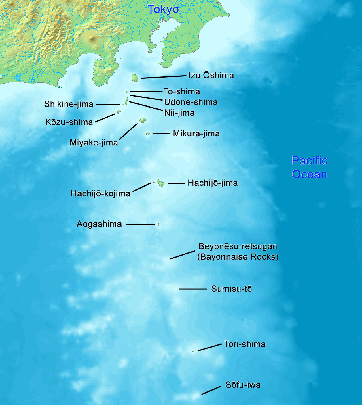
On September 18, 2026, a magnitude 5.0 earthquake occurred in the Izu Islands, Japan region. The event, located near the southern coast of Japan, was closely monitored due to its proximity to key infrastructure. While the earthquake was moderate in scale, its effects were localized, and no widespread disruptions were reported in the surrounding areas. Emergency response teams in the region were prepared to act if needed, ensuring readiness for any potential impacts.
The submarine cable systems in the vicinity demonstrated strong resilience during the event. The Apricot cable, which connects Japan to Southeast Asia, maintained its average latency of approximately 215ms. Similarly, the Japan-Guam-Australia North (JGA-N) system, linking Japan to Guam and Australia, held steady at around 123ms. The JUNO cable, also landing at Minamiboso, Japan, continued to operate within its usual performance range of approximately 128ms. These systems, critical for international connectivity, carried traffic seamlessly throughout the event, underscoring their robust design and operational stability.
Real-time monitoring of these and other submarine cable systems continues, with 2334 latency checks conducted over the past 24 hours. Our network analysis remains vigilant, ensuring reliable performance and connectivity across all monitored corridors.
M4.6 earthquake · 20 km ESE of Tsunō, Japan

On September 18, 2026, a magnitude 4.6 earthquake occurred 20 km east-southeast of Tsunō, Japan. While the event was moderate in scale, its proximity to populated areas underscores the importance of resilient infrastructure in the region. Local authorities and monitoring systems responded promptly, ensuring situational awareness and safety measures for the affected area.
The submarine cable systems in this region demonstrated their robustness during the event. The Guam Okinawa Kyushu Incheon (GOKI) cable, which connects Kitakyushu, Japan, to other key nodes in East Asia, maintained its average latency of approximately 128 ms across 12 checks conducted over the past seven days. Similarly, the Korea-Japan Cable Network (KJCN), also landing at Kitakyushu, consistently held its 92 ms average latency across 10 checks during the same period. These systems continued to carry traffic seamlessly, underscoring the reliability of the infrastructure in the face of seismic activity.
Real-time monitoring of these and other submarine cable systems remains ongoing, with 2354 latency checks conducted in the last 24 hours across 713 monitored systems. This continuous oversight ensures that any future events affecting global connectivity are promptly observed and assessed.
M4.5 earthquake · 78 km NW of Maumere, Indonesia
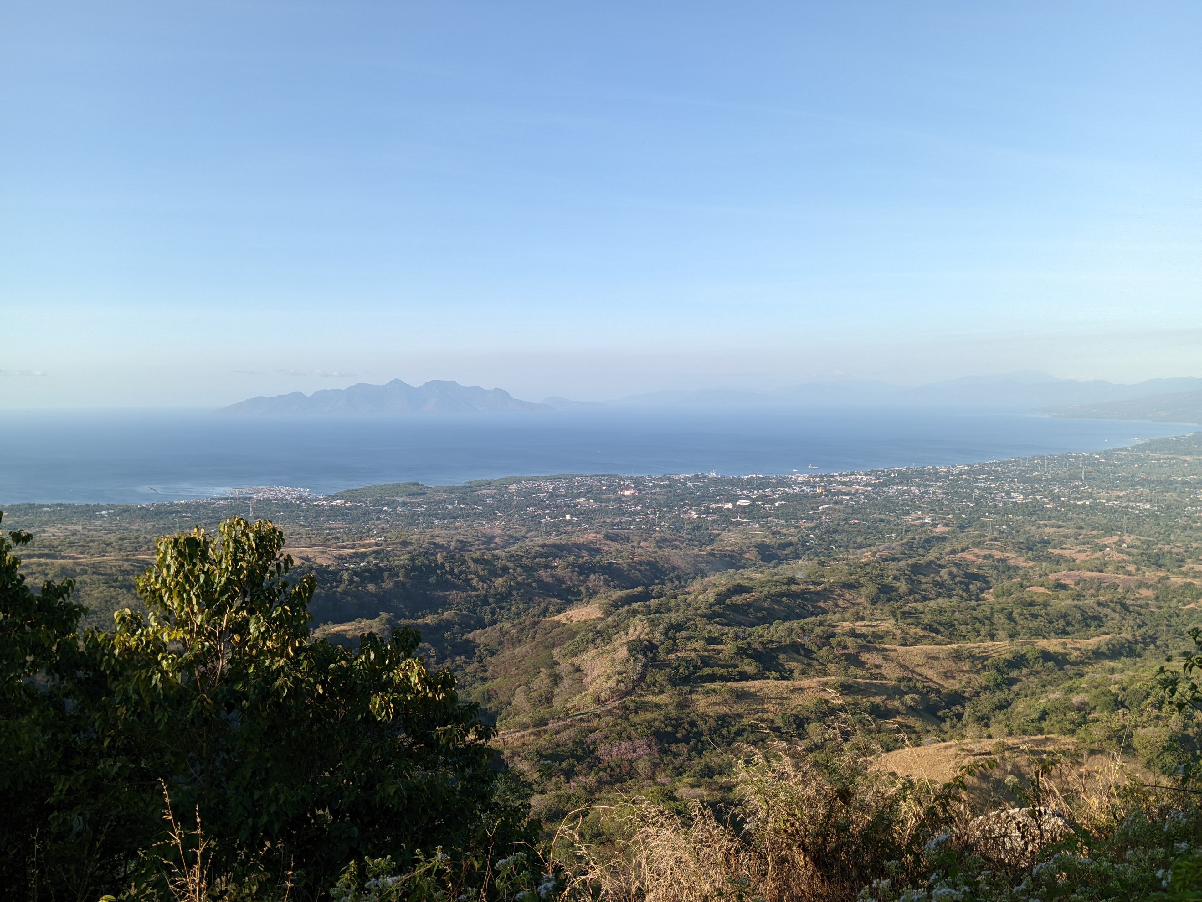
On September 17, 2026, a magnitude 4.5 earthquake occurred 78 km northwest of Maumere, Indonesia. This event was relatively localized, with its effects concentrated in the surrounding area. Emergency response teams monitored the situation, and no widespread disruptions were reported in the affected region. The earthquake's moderate magnitude and distance from major population centers helped limit its impact.
The submarine cable infrastructure in the vicinity demonstrated strong resilience during the event. Systems such as the Mataram Kupang Cable System (connecting Ende to Kupang) and the Indonesia Tengah Cable Systems (linking Labuhan Bajo to other regions) maintained their usual performance, with average latencies holding steady at ~347 ms and ~345 ms, respectively. Similarly, the Palapa Ring East, which connects Waingapu to broader networks, operated at its baseline latency of ~346 ms. These cables, crucial for regional and international connectivity, continued to carry traffic without interruption, underscoring their robust design and engineering.
Real-time monitoring of these and other submarine cable systems remains active, ensuring continuous oversight of network performance. The stability observed highlights the reliability of the infrastructure even in the face of regional seismic activity.
M5.2 earthquake · 132 km E of Bitung, Indonesia

On September 17, 2026, a magnitude 5.2 earthquake occurred 132 km east of Bitung, Indonesia. While the event's duration and specific impact on local populations were not detailed in the source, earthquakes of this magnitude in the region can prompt monitoring for potential effects on infrastructure and services. Authorities and monitoring systems are likely assessing any immediate needs or disruptions in the area.
In the submarine cable sector, several systems have landing points within 350 km of the earthquake's epicenter. These include Palapa Ring Middle, SMPCS Packet-1, SEA-US, Asia Connect Cable-1 (ACC-1), Barat Timur Indonesia-1 (BTI-1), Barat Timur Indonesia-2 (BTI-2), Bifrost, and the Indonesia Global Gateway (IGG) System. Current latency measurements across these cables are consistent with typical averages: for example, SEA-US at ~208 ms (36 checks over the past 7 days) and IGG at ~133 ms (78 checks over the past 7 days). Monitoring remains active, and the infrastructure in this region continues to support stable connectivity. The resilience of these systems underscores the robustness of submarine cable networks in seismically active zones.
M5.1 earthquake · 77 km SSW of San Jose Village, Northern Mariana Islands

On September 16, 2026, a magnitude 5.1 earthquake occurred 77 km south-southwest of San Jose Village in the Northern Mariana Islands. The event, while moderate in scale, affected a sparsely populated area and did not result in significant disruption to daily activities or infrastructure. Authorities responded promptly, ensuring safety measures were in place for the region's residents.
Submarine cable infrastructure in the vicinity demonstrated strong resilience during the seismic activity. The Mariana-Guam Cable, landing at Rota (32 km from the epicenter), maintained an average latency of ~9ms, while the Atisa cable, landing at Sasanlagu (40 km from the epicenter), held steady at ~10ms. Further afield, the Australia-Japan Cable (AJC), connecting Guam to Japan, continued to operate at its usual ~191ms average. These systems, critical for regional and international connectivity, carried traffic seamlessly through the event as monitoring confirmed their stability.
GeoCables continues to actively monitor these and other submarine cable systems in real time, ensuring uninterrupted connectivity across all corridors. The infrastructure remains robust, supported by ongoing checks and advanced analytics to maintain network reliability.
M5 earthquake · 5 km NE of Mitsukaidō, Japan
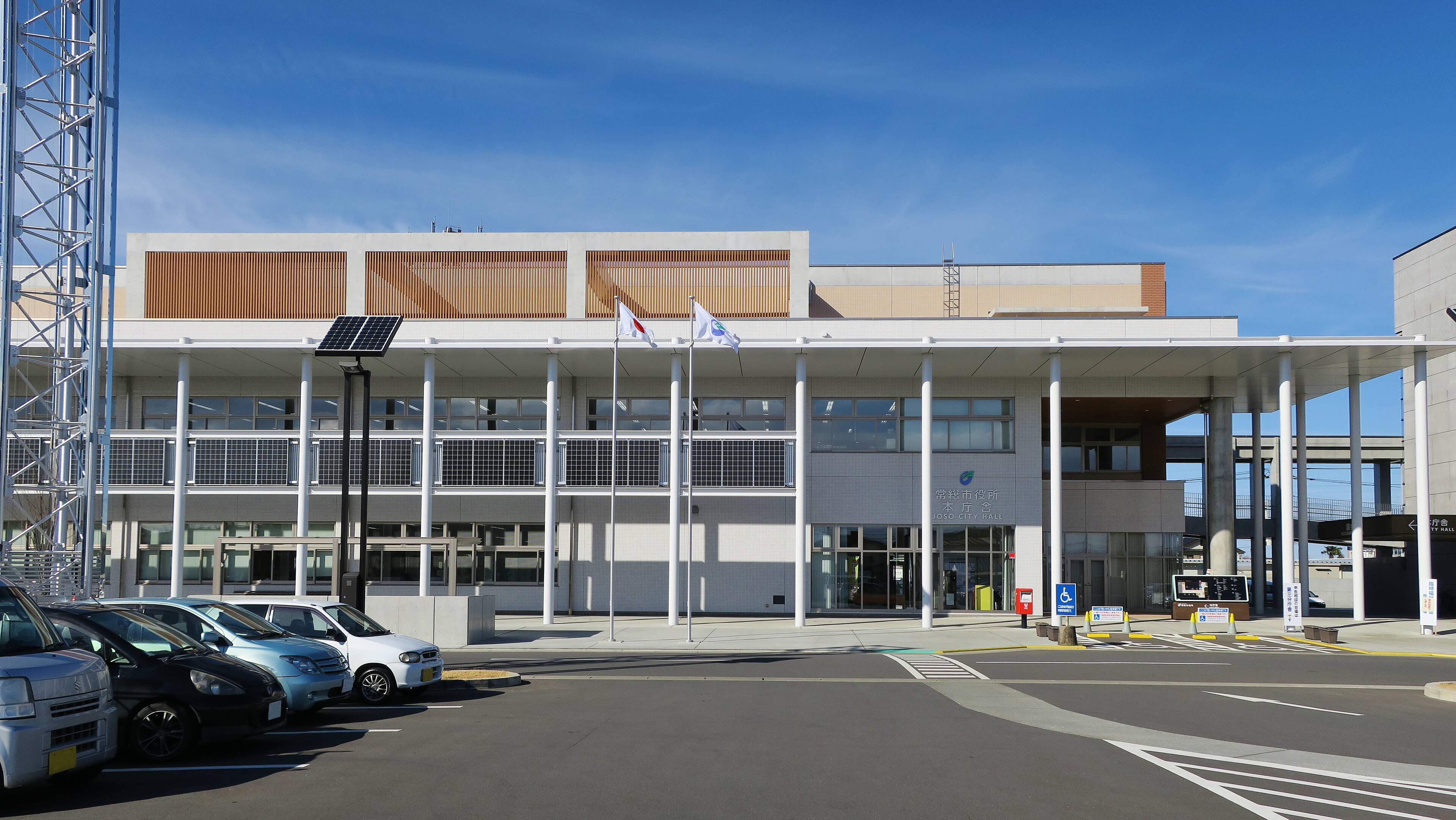
On September 16, 2026, a magnitude 5.0 earthquake occurred 5 km northeast of Mitsukaidō, Japan. The event was localized, with a moderate seismic impact and no reports of widespread disruption in the region. Authorities responded promptly, and the affected area is under continued observation. While the earthquake was relatively minor in scale, its proximity to several key submarine cable landing points highlights the importance of robust infrastructure in seismically active zones.
The submarine cable systems in the vicinity demonstrated resilience during the event, maintaining stable performance throughout. For example, EAC-C2C and Pacific Crossing-1 (PC-1), both landing at Ajigaura, Japan (64 km from the epicenter), held their typical round-trip latencies of approximately 89 ms and 124 ms, respectively. Similarly, the Topaz cable, with a landing point in Takahagi, Japan (96 km from the event), sustained its average latency of 144 ms. These systems, critical for connecting regions across the Pacific and beyond, continued to carry traffic seamlessly, underscoring the robustness of the infrastructure.
Monitoring of these and other submarine cable systems remains active, with 2,549 latency checks conducted in the past 24 hours alone. This ongoing vigilance ensures that any potential disruptions are promptly identified and addressed.