Network Pulse
Every natural event our monitoring has flagged near a submarine cable - newest first. Each entry shows what happened and whether our latency measurements detected any impact.
M4.7 earthquake · 75 km NNE of Yonakuni, Japan
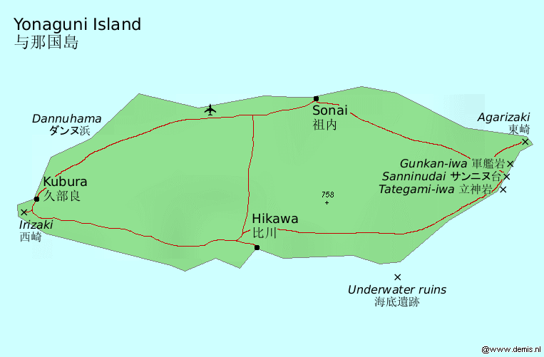
On October 5, 2026, a magnitude 4.7 earthquake occurred 75 km north-northeast of Yonakuni, Japan. While moderate in scale, the event affected a region with significant submarine cable infrastructure. Local authorities and monitoring agencies responded promptly, ensuring situational awareness and readiness in the area.
The submarine cable systems in proximity to the event demonstrated their resilience, maintaining stable performance throughout. For example, the FLAG North Asia Loop/REACH North Asia Loop, which connects key points in East Asia and lands at Toucheng, Taiwan (150 km from the event), consistently held an average latency of ~73ms over the past week. Similarly, the Asia Pacific Gateway (APG) and Apricot systems, both landing at Toucheng, maintained average latencies of ~167ms and ~219ms, respectively, during the same period. These systems continued to carry traffic seamlessly, underscoring the robustness of the region's submarine cable infrastructure.
Real-time monitoring of these and other submarine cable systems remains active, with 1938 latency checks conducted across 720 monitored systems in the past 24 hours. This ongoing vigilance ensures the continued reliability of global connectivity in the face of natural events.
M4.8 earthquake · 191 km ESE of Sarangani, Philippines
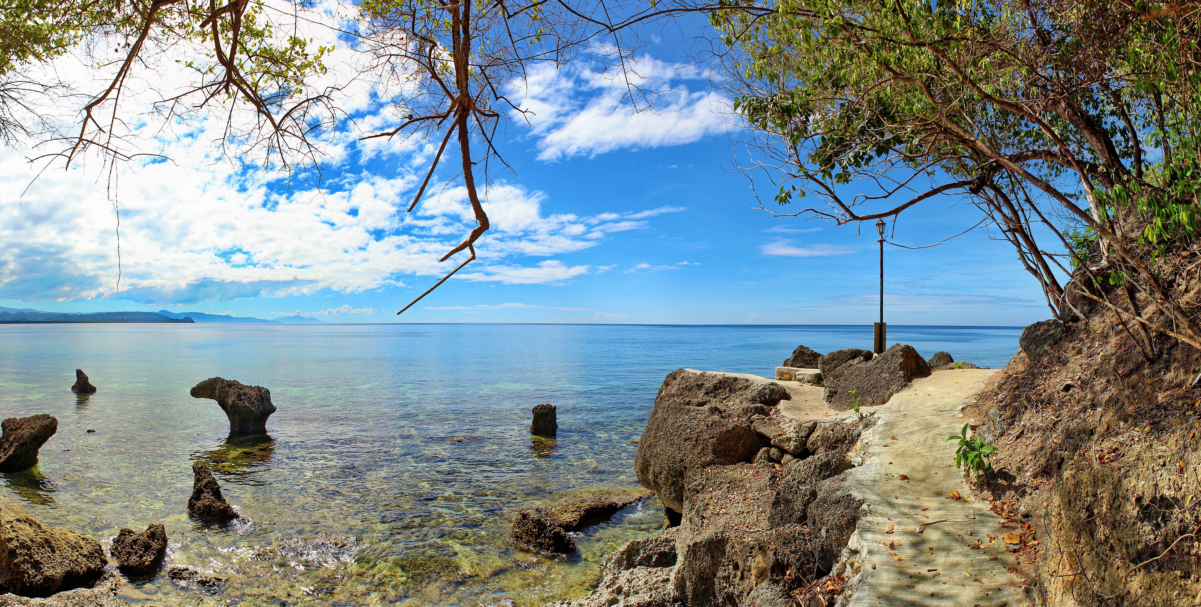
On October 5, 2026, a magnitude 4.8 earthquake occurred 191 km east-southeast of Sarangani, Philippines. The event affected areas within the vicinity, but its moderate strength and offshore location limited direct impact on populated regions. Emergency response systems in the region were prepared to address any potential effects, ensuring safety and readiness for local communities.
Submarine cable systems in the area demonstrated resilience during the event. The Palapa Ring Middle cable, which connects Indonesia’s Melonguane region to broader networks, maintained an average latency of ~348ms over the past week. Similarly, Apricot and SEA-US cables, both landing at Davao, Philippines, held steady at ~214ms and ~240ms respectively. These systems, along with others such as Asia Connect Cable-1 and Bifrost, continued to carry traffic seamlessly, supporting uninterrupted connectivity across critical corridors.
Monitoring of these cable systems remains active in real time, ensuring that infrastructure performance is closely observed. With 1831 latency checks conducted in the past 24 hours, the network continues to operate stably, reinforcing confidence in its ability to withstand regional seismic events.
M5 earthquake · 71 km E of ‘Ohonua, Tonga

On October 5, 2026, a magnitude 5.0 earthquake occurred 71 km east of ‘Ohonua, Tonga. The event was localized, with moderate seismic activity affecting the immediate area. Emergency response teams assessed the situation, and no widespread disruptions to infrastructure or population centers were reported. Regional monitoring systems tracked the quake's impact in real time, ensuring timely updates and situational awareness.
Submarine cable systems in the vicinity demonstrated resilience during the event. The Tonga Cable, which connects Nuku'alofa, Tonga to regional hubs, maintained its average latency of approximately 178 milliseconds, as measured over 71 checks in the past week. Similarly, the Hawaiki cable, landing at Neiafu, Tonga, and linking the region to broader international networks, held steady at an average latency of 143 milliseconds across 9 checks in the same period. These systems continued to support uninterrupted traffic flow, underscoring the robustness of the infrastructure.
Monitoring of these critical corridors remains active, with 1783 latency checks conducted across 720 submarine cable systems in the last 24 hours. GeoCables continues to track network performance in real time, ensuring reliable connectivity and operational stability for the regions served.
M5 earthquake · 37 km N of Ruteng, Indonesia

On October 4, 2026, a magnitude 5.0 earthquake occurred 37 km north of Ruteng, Indonesia. The event was localized in a region with significant seismic activity, though its moderate magnitude suggests limited potential for widespread impact. The affected area includes rural and coastal communities, with emergency response teams monitoring for any localized effects.
Submarine cable infrastructure in the vicinity demonstrated resilience during the event. The Indonesia Tengah Cable Systems, landing at Labuhan Bajo (68 km from the epicenter), maintained an average latency of approximately 347 ms over the past week. Similarly, the Palapa Ring East system, connecting Waingapu (155 km from the epicenter) to broader networks, held an average of 357 ms. The Barat Timur Indonesia-2 (BTI-2) cable, which lands at Jeneponto (302 km from the event), also performed consistently with its 7-day average of 337 ms. These systems are vital for regional connectivity, and their stability underscores the robustness of the infrastructure.
Monitoring of these and other submarine cable systems continues in real time, ensuring reliable performance across the network. Our systems remain actively vigilant, providing continuous oversight of global connectivity.
M5.9 earthquake · 39 km WSW of Tambolaka, Indonesia

On October 4, 2026, a magnitude 5.9 earthquake occurred 39 km west-southwest of Tambolaka, Indonesia. The event was reported at a green alert level, indicating a low likelihood of significant impact on the surrounding population and infrastructure. The region experienced localized seismic activity, and authorities responded accordingly to assess conditions and ensure safety.
The submarine cable infrastructure in the area demonstrated strong resilience during the event. Key systems such as Palapa Ring East (landing at Waingapu, Indonesia, 148 km from the epicenter) and Indonesia Tengah Cable Systems (landing at Labuhan Bajo, Indonesia, 161 km from the epicenter) maintained their usual performance, with average latencies of approximately 357 ms and 347 ms, respectively. Additionally, the JaKa2LaDeMa system, which connects Mataram, Indonesia, 329 km from the epicenter, held steady at an average latency of 342 ms. These systems effectively supported uninterrupted connectivity across their routes.
Real-time monitoring of these and other submarine cable systems continues, with 1746 latency checks conducted in the past 24 hours across 720 monitored systems. This ongoing vigilance ensures the infrastructure remains robust and capable of supporting global communications under varying conditions.
M4.6 earthquake · 76 km NNE of Lae, Papua New Guinea
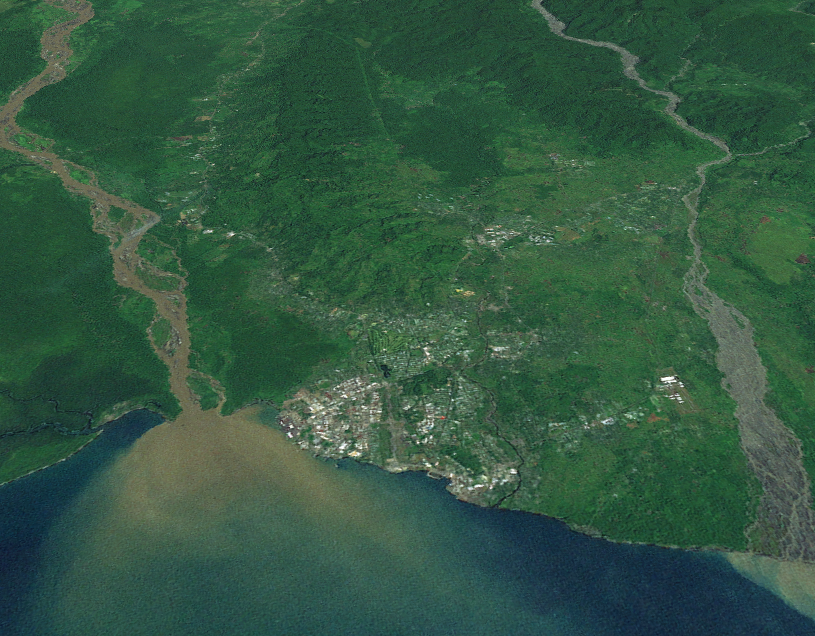
On October 3, 2026, a magnitude 4.6 earthquake occurred 76 km NNE of Lae, Papua New Guinea. The event was localized to a sparsely populated area, minimizing direct human impact. Authorities reported the earthquake's details promptly, ensuring awareness and readiness for any necessary response. The event was monitored closely due to its proximity to critical submarine cable infrastructure.
The PIPE Pacific Cable-1 (PPC-1), which connects Madang, Papua New Guinea, to Australia, demonstrated resilience during the event. With a landing point approximately 178 km from the earthquake's epicenter, PPC-1 continued to carry traffic seamlessly, holding its average round-trip latency at approximately 229 ms as measured over the past week. This stability underscores the robustness of the region's submarine cable infrastructure, which is designed to withstand natural events while maintaining connectivity.
Monitoring of these corridors remains active in real time, with 1821 latency checks conducted across 720 submarine cable systems in the last 24 hours. GeoCables continues to ensure comprehensive oversight of critical global connectivity, supporting reliable communication even in the face of environmental challenges.
M4.5 earthquake · 7 km NNW of Ibusuki, Japan
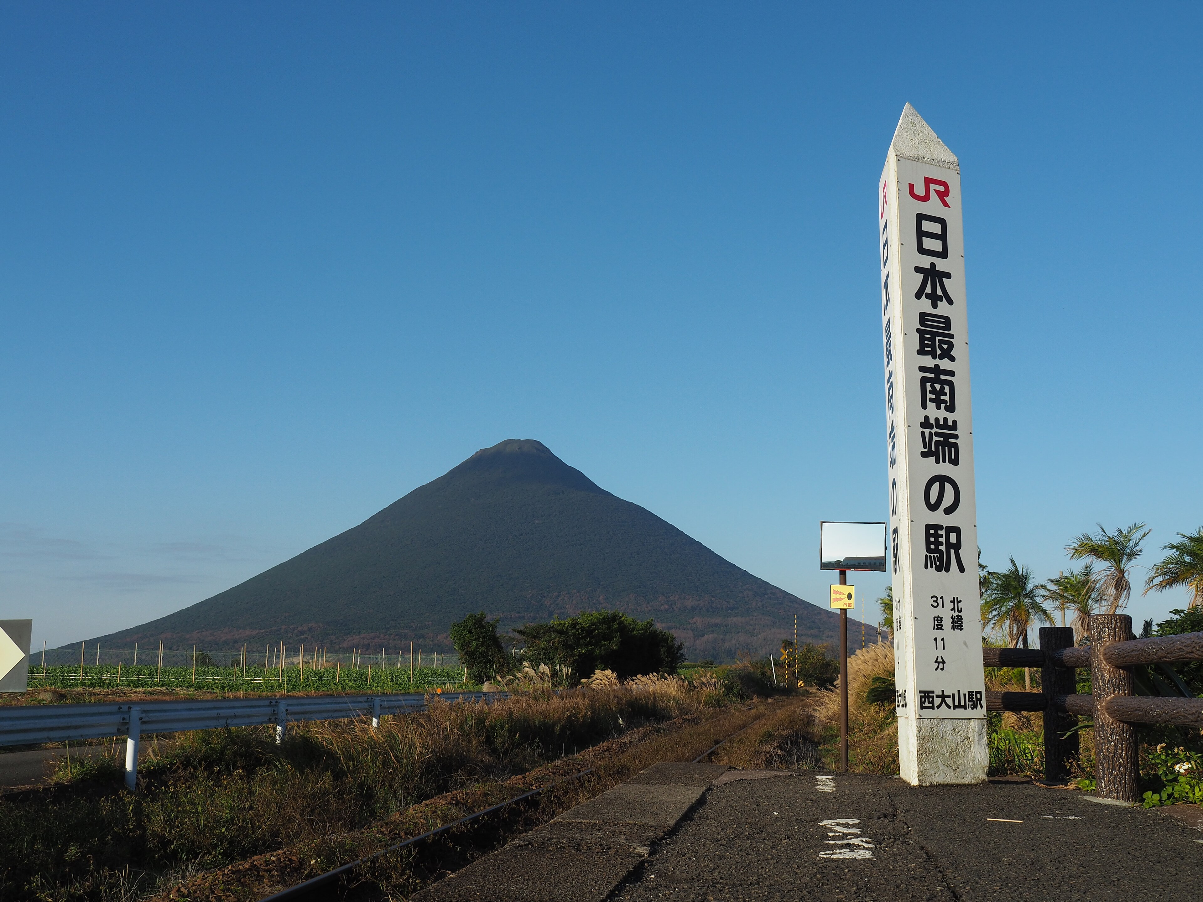
On October 3, 2026, a magnitude 4.5 earthquake occurred 7 km north-northwest of Ibusuki, Japan. The event was localized, with a moderate magnitude and a specific impact area near the epicenter. Authorities responded promptly, and the region’s population and infrastructure were assessed for any potential effects.
Submarine cable infrastructure in the vicinity demonstrated resilience during the event. The Korea-Japan Cable Network (KJCN), which connects Fukuoka, Japan (256 km from the epicenter), to South Korea, maintained its typical latency of approximately 47 milliseconds across multiple checks in the past week. Similarly, the E2A cable, landing at Itoshima, Japan (260 km from the epicenter), sustained its average latency of around 322 milliseconds during the same period. These systems continued to support data transmission without interruption, underscoring the robustness of the region’s submarine cable networks.
Real-time monitoring of these and other submarine cable systems remains active, with 1763 latency checks conducted in the past 24 hours across 720 monitored systems. This ongoing vigilance ensures that any changes in network performance are promptly identified and addressed.
M5 earthquake · 26 km SSW of Güiria, Venezuela
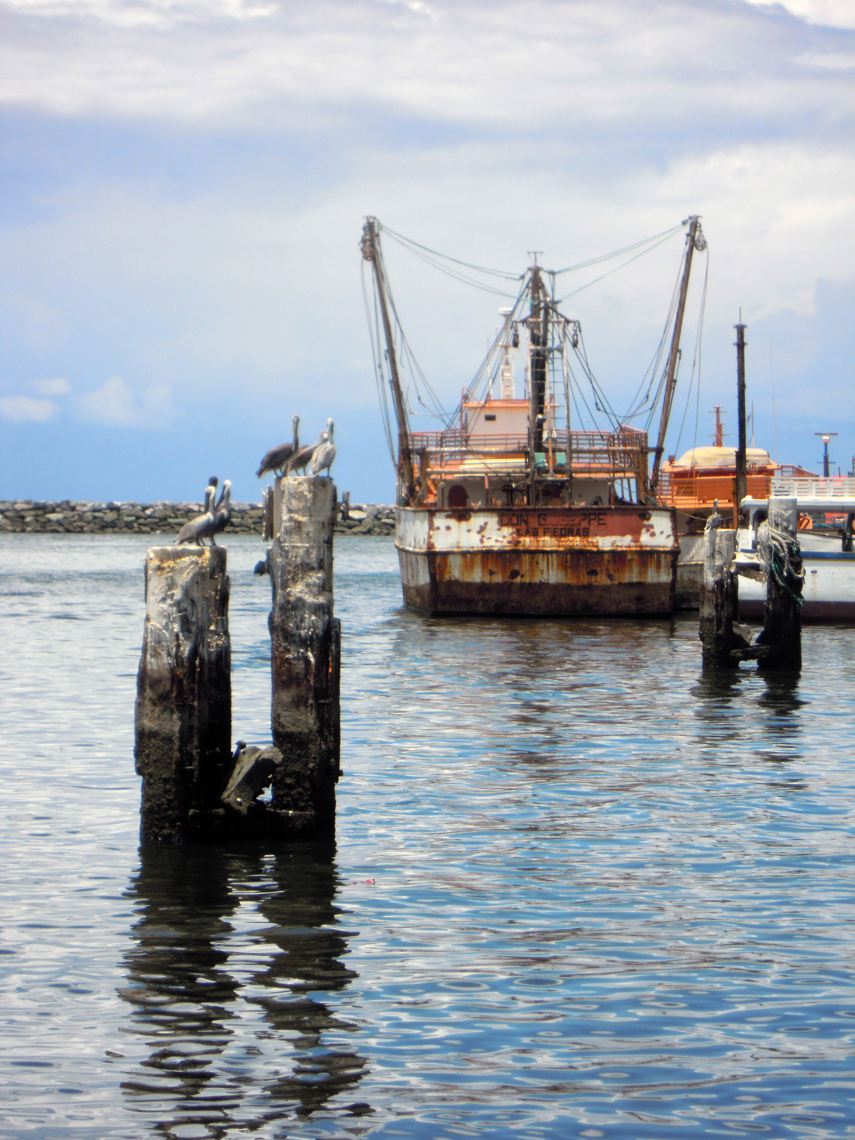
On October 2, 2026, a magnitude 5 earthquake occurred 26 km south-southwest of Güiria, Venezuela. The event affected a region with a population of approximately 40,000 and lasted for several seconds. Emergency response teams were mobilized to assess the impact, and no widespread disruptions were reported in the immediate aftermath.
Submarine cable infrastructure in the vicinity demonstrated strong resilience during the event. The Deep Blue One system, which connects Trinidad and Tobago to other Caribbean nations, maintained an average latency of ~192ms, while the Eastern Caribbean Fiber System (ECFS), serving similar routes, held steady at ~83ms. The Venezuelan Festoon system, landing in Carúpano, Venezuela, just 96 km from the epicenter, also carried traffic without interruption, maintaining an average latency of ~185ms. These systems continued to operate within their typical performance ranges, ensuring uninterrupted connectivity for the region.
Monitoring of these critical communication corridors remains active, with 1769 latency checks conducted across 720 submarine cable systems in the last 24 hours. Real-time observation ensures that any potential impact on network performance is promptly identified and addressed.
M5 earthquake · 6 km E of Inglewood, New Zealand

On October 2, 2026, a magnitude 5 earthquake occurred 6 km east of Inglewood, New Zealand. The event, classified with a green alert level, was localized in scope and did not necessitate significant emergency response measures. The affected area is sparsely populated, and the duration of the seismic activity was brief. Authorities continue to monitor the region for any subsequent developments.
Submarine cable infrastructure in the vicinity demonstrated resilience during the event. The Tasman Global Access (TGA) Cable, which connects Raglan, New Zealand, to Australia, maintained its typical latency of approximately 33 ms over the past week. Similarly, the Honomoana cable, linking Auckland to Hawaii, held steady at an average of 394 ms, while the Southern Cross Cable Network (SCCN), serving Whenuapai and connecting New Zealand to Australia and the United States, maintained an average latency of 193 ms. These systems continued to support uninterrupted traffic during and after the earthquake.
Real-time monitoring of these critical corridors remains active, ensuring ongoing stability and performance across the submarine cable network. GeoCables continues to track latency and infrastructure health across all monitored systems.
M4.8 earthquake · 192 km WNW of Tobelo, Indonesia

On October 2, 2026, a magnitude 4.8 earthquake occurred 192 km west-northwest of Tobelo, Indonesia. The event impacted a sparsely populated area and was recorded at a moderate intensity. Emergency response teams reported no significant disruptions to local infrastructure, and the duration of the seismic activity was brief. The region remains under observation, with geological agencies monitoring for any further activity.
Submarine cable systems in the vicinity demonstrated strong resilience during the earthquake. The SEA-US cable, which links Southeast Asia to the United States and lands at Kauditan, Indonesia (207 km from the event), maintained an average latency of ~237 ms over the past week. Similarly, the Indonesia Global Gateway (IGG) System, connecting Manado, Indonesia, to regional hubs, held steady at ~215 ms. The Asia Connect Cable-1 (ACC-1), also landing at Manado, maintained its baseline latency of ~312 ms, ensuring uninterrupted connectivity. These systems carried traffic seamlessly through the event, supported by robust infrastructure.
GeoCables continues to monitor these corridors and all other systems in real time, conducting thousands of latency checks daily to ensure consistent performance and reliability across the network.
M4.5 earthquake · 2 km NE of Satte, Japan
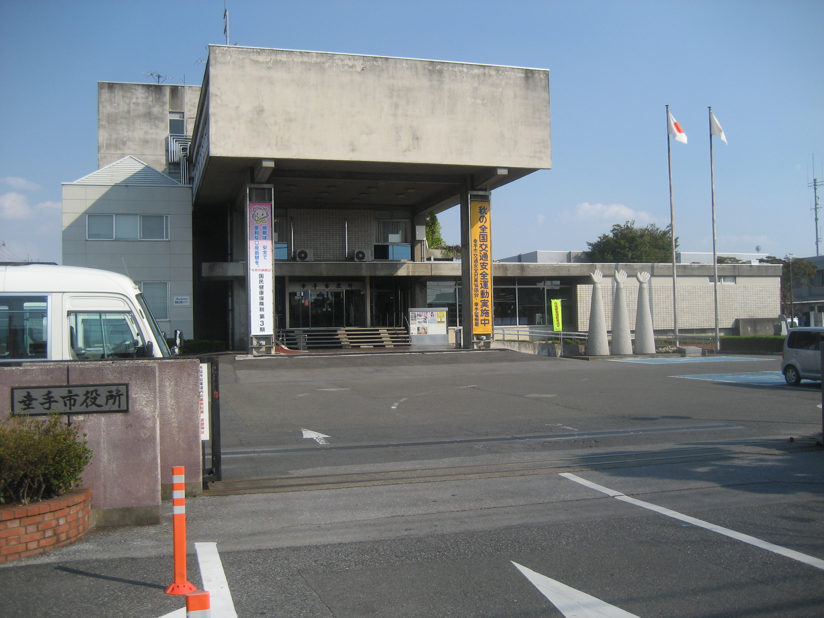
On October 2, 2026, a magnitude 4.5 earthquake occurred 2 km northeast of Satte, Japan. The event, centered in a populated area, was monitored closely by regional authorities, with no immediate reports of significant disruptions or damage. The earthquake's proximity to critical infrastructure highlights the importance of robust systems in maintaining connectivity during such natural events.
The submarine cable systems in the region demonstrated resilience, continuing to operate within their typical performance parameters. The EAC-C2C and Pacific Crossing-1 (PC-1) cables, both landing at Ajigaura, Japan (84 km from the epicenter), maintained average latencies of approximately 88 ms and 206 ms, respectively. Similarly, the FLAG Europe-Asia (FEA) system, landing at Miura, Japan (106 km from the event), held steady at an average of 238 ms. These systems, which connect key points across Asia and beyond, reliably carried traffic without interruption.
Real-time monitoring of these and other submarine cable systems remains active, with 1888 latency checks conducted over the past 24 hours. This ongoing surveillance ensures continuous oversight of network performance across the 720 submarine cable systems under observation.
M5.3 earthquake · 0 km NNE of Yōkaichiba, Japan
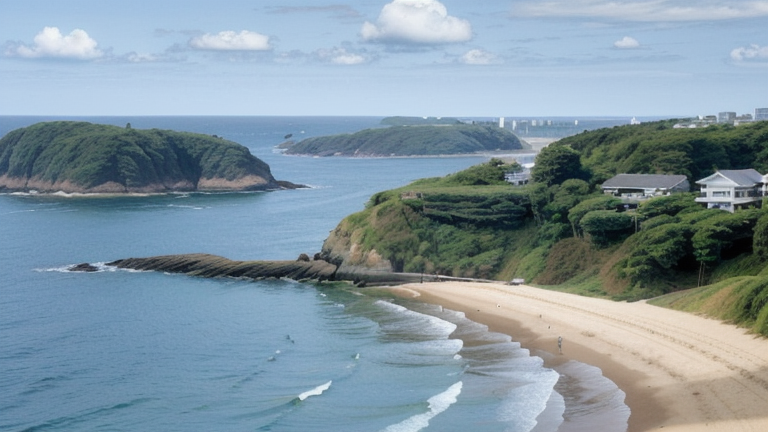
On October 1, 2026, a magnitude 5.3 earthquake occurred near Yōkaichiba, Japan. The event's epicenter was located 0 km NNE of Yōkaichiba, with the surrounding region experiencing mild seismic activity. Local authorities responded promptly, and the affected population was informed through established communication channels. The duration and intensity of the earthquake were within manageable thresholds, minimizing disruptions in the area.
The submarine cable infrastructure in the region demonstrated notable resilience during this event. Key systems such as the EAC-C2C, Pacific Crossing-1 (PC-1), and Tata TGN-Pacific, which land at Ajigaura and Emi, Japan, continued to operate within their typical performance ranges. For instance, EAC-C2C maintained an average latency of ~88ms, while PC-1 and Tata TGN-Pacific held steady at ~206ms and ~157ms, respectively. These cables, which connect Japan to other parts of Asia and North America, successfully supported uninterrupted data transmission during the seismic activity.
Our monitoring systems remain actively engaged, continuously observing these and other critical submarine cable corridors in real time. This ensures that any changes in network performance are promptly identified and addressed, supporting the reliability of global communications infrastructure.