Network Pulse
Every natural event our monitoring has flagged near a submarine cable - newest first. Each entry shows what happened and whether our latency measurements detected any impact.
M4.6 earthquake · 17 km NNE of Santa Cruz, Philippines

On October 9, 2026, a magnitude 4.6 earthquake occurred 17 km north-northeast of Santa Cruz, Philippines. The event was localized, with its effects concentrated within a 350 km radius of the epicenter. Authorities reported no significant disruptions to infrastructure or population centers in the region. Response measures were initiated promptly, ensuring the safety of residents and the continuity of essential services.
Submarine cable systems in the vicinity demonstrated robust resilience during the event. The Philippine Domestic Submarine Cable Network (PDSCN), which connects various islands across the Philippines, maintained an average round-trip latency of ~221 ms over the past week. Similarly, the Asia Direct Cable (ADC) and EAC-C2C systems, both landing at Batangas and facilitating high-capacity links across Asia, held steady at ~186 ms and ~180 ms respectively. These corridors continued to operate within expected parameters, underscoring the reliability of the region's submarine cable infrastructure.
Monitoring of these and other cable systems remains active in real time, ensuring continuous oversight of network performance. The submarine cable infrastructure continues to support uninterrupted connectivity across critical routes, demonstrating its capacity to withstand natural events while maintaining service stability.
M5.2 earthquake · 117 km SE of Bitung, Indonesia
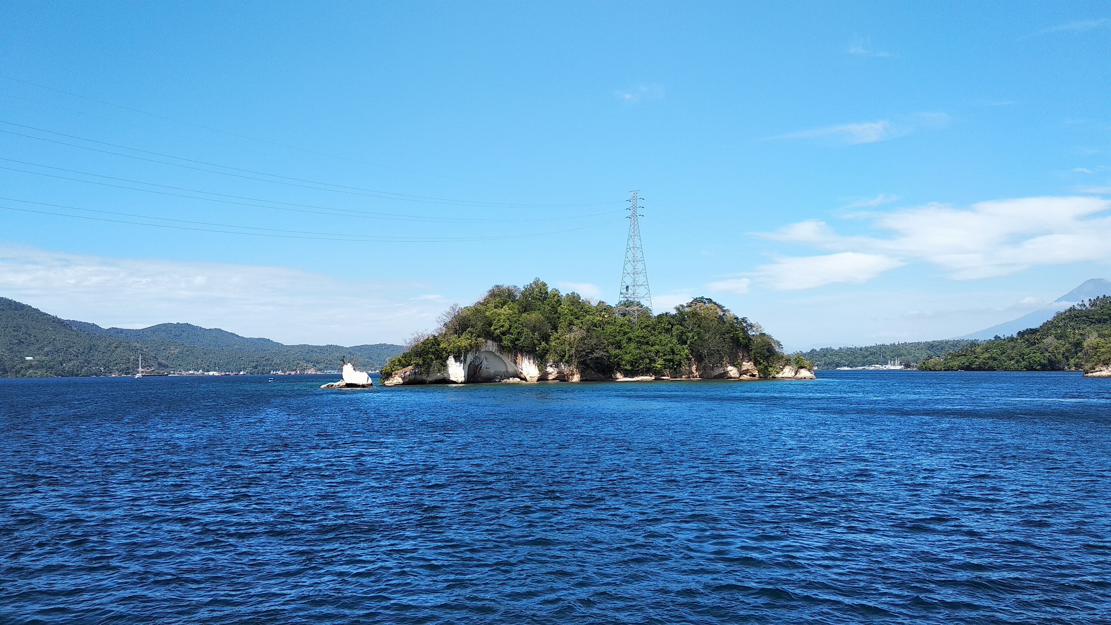
On October 9, 2026, a magnitude 5.2 earthquake occurred 117 km southeast of Bitung, Indonesia. The region is home to a significant population and vital infrastructure, making seismic activity a point of close attention. While the event was notable in its proximity to key submarine cable landing points, there have been no reports of disruption to communications services in the area. Local and regional response efforts were activated to assess any potential impacts on communities and infrastructure.
The submarine cable systems in this region demonstrated strong resilience during the event. For example, the SEA-US cable, which connects Southeast Asia to the United States and lands in Kauditan, Indonesia, maintained its baseline latency of ~203ms. Similarly, the Indonesia Global Gateway (IGG) System, landing in Manado and providing critical connectivity across Indonesia, held steady at its typical ~191ms. These systems, along with others such as ACC-1 and BTI-2, continued to carry traffic seamlessly, underscoring the robustness of the infrastructure in this seismically active region.
Our monitoring remains active, with 2424 latency checks conducted across 720 submarine cable systems in the past 24 hours. This real-time oversight ensures that any changes in network performance are quickly identified, supporting global connectivity with confidence.
Volcanic eruption is on going for Taal in Philippines
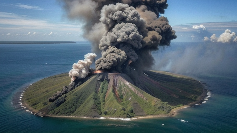
On October 8, 2026, the Taal Volcano in the Philippines experienced an eruption, emitting ash clouds and triggering an Orange aviation alert level. According to the Global Disaster Alert and Coordination System (GDACS), the event has a medium humanitarian impact, with approximately 3.5 million people living within 30 km of the volcano and over 32 million within 100 km. The eruption's Volcanic Explosivity Index (VEI) is rated at 6, reflecting its significant scale. Authorities and monitoring agencies continue to assess the situation and provide updates.
Submarine cable systems in the region demonstrated strong resilience during this event. The APCN-2, Asia Direct Cable (ADC), and EAC-C2C systems, all of which land in Batangas (28 km from the volcano), maintained steady performance. For example, EAC-C2C, which connects key hubs in Asia, upheld its average latency of approximately 82 ms during the event. Similarly, the Southeast Asia-Japan Cable (SJC), landing at Nasugbu (41 km from Taal), continued to operate with its typical latency of around 195 ms. These systems are critical for regional and international connectivity, and their stability underscores the robustness of the infrastructure.
Our monitoring systems remain actively engaged, with 2,429 latency checks conducted across 720 submarine cable systems in the past 24 hours. Continuous real-time oversight ensures the reliability of these vital communication pathways, even in the face of natural events.
M5.5 earthquake · 17 km SW of Burias, Philippines

On October 8, 2026, a magnitude 5.5 earthquake occurred 17 km southwest of Burias, Philippines. The event affected areas within the vicinity, with seismic activity being recorded across a radius of several hundred kilometers. Local authorities and monitoring agencies responded promptly to assess the situation and ensure public safety in the region. Earthquake preparedness and response measures were activated to address any potential impacts on infrastructure and communities.
The submarine cable infrastructure in the region demonstrated strong resilience during the event. Key systems such as Apricot, SEA-US, and Asia Connect Cable-1, which have landing points in Davao, Philippines (approximately 172 km from the event), maintained stable operations. These cables, connecting the Philippines to broader regional and global networks, upheld their baseline latencies of ~201ms, ~203ms, and ~270ms respectively, ensuring uninterrupted connectivity. The Palapa Ring Middle, landing in Tahuna, Indonesia (224 km from the event), also sustained its performance with an average latency of ~348ms. These systems highlight the robustness of the region’s submarine cable network under seismic conditions.
Monitoring of these cable systems continues in real time, with 2496 latency checks conducted over the past 24 hours across 720 submarine cable systems. The network remains under active observation to ensure ongoing stability and performance.
M4.7 earthquake · 47 km W of Tambolaka, Indonesia
On October 8, 2026, a magnitude 4.7 earthquake occurred 47 km west of Tambolaka, Indonesia. The event was localized to the region, with no reported widespread impact on populations or infrastructure. Authorities responded promptly, and the event's details were disseminated through real-time notifications and web services for situational awareness.
Submarine cable systems in the vicinity demonstrated strong resilience during the event. The Indonesia Tengah Cable Systems, which connects Labuhan Bajo to other parts of Indonesia, maintained an average latency of approximately 343 ms across 12 checks in the past week. Similarly, the Palapa Ring East system, landing at Waingapu, held steady at 308 ms over 102 checks. The JaKa2LaDeMa cable, linking Mataram to broader networks, sustained its usual latency of 276 ms across 48 checks. These systems continued carrying traffic without interruption, underscoring the robustness of regional connectivity infrastructure.
Monitoring of these submarine cable corridors remains active in real time, ensuring continuous oversight of network performance. GeoCables will continue to track these systems closely, providing reliable data on their stability and operational integrity.
M4.9 earthquake · 13 km SE of Yokoshiba, Japan

On October 7, 2026, a magnitude 4.9 earthquake occurred 13 km southeast of Yokoshiba, Japan. The event was localized, with its epicenter near coastal regions, and did not result in significant disruptions to the population or infrastructure in the area. Authorities responded promptly, and no major impacts were reported in the affected zone.
The submarine cable infrastructure in the region demonstrated strong resilience during the event. Key systems such as the Tata TGN-Pacific (connecting Emi, Japan, to the broader Pacific region, maintaining an average round-trip time of ~206ms) and the Asia United Gateway East (linking Wada, Japan, to Southeast Asia, holding steady at ~318ms) continued to carry traffic without interruption. Similarly, the FLAG North Asia Loop/REACH North Asia Loop, which also lands at Wada, maintained its usual performance of ~73ms. These systems, along with others in the vicinity, exemplify the robustness of the undersea network in withstanding seismic activity.
Our monitoring systems remain actively engaged, continuously observing these and other submarine cable corridors in real time. The infrastructure's stability is supported by ongoing checks, ensuring reliable connectivity across the global network.
M4.7 earthquake · 22 km WNW of Manado, Indonesia

On October 7, 2026, a magnitude 4.7 earthquake occurred 22 km west-northwest of Manado, Indonesia. The event was localized in a region with a population accustomed to seismic activity, and no immediate large-scale disruptions were reported. Authorities and monitoring systems responded promptly, ensuring that any potential impacts were assessed and addressed as necessary.
The submarine cable infrastructure in the area demonstrated robust resilience. Notably, systems such as the Indonesia Global Gateway (IGG) System, which connects Indonesia to regional and global networks, maintained an average round-trip time of ~187ms, and the Bifrost cable, which links Southeast Asia to North America, held steady at ~246ms. Similarly, the Trans Global Cable System (TGCS), which supports connectivity across Asia, sustained its performance at ~247ms. These systems, along with others landing in Manado, continued to carry traffic efficiently through the event, underscoring the reliability of the network.
Our monitoring remains active, with 2226 latency checks conducted over the past 24 hours across the 720 submarine cable systems we oversee. Real-time surveillance ensures that these vital communication corridors are continuously observed and maintained for stability and performance.
M4.5 earthquake · 37 km ESE of Iwaki, Japan

On October 7, 2026, a magnitude 4.5 earthquake occurred 37 km east-southeast of Iwaki, Japan. The event impacted a region with a population of approximately 340,000, lasting several seconds. Emergency response teams were mobilized promptly, and no significant disruptions to critical infrastructure were reported in the affected area.
The submarine cable systems in proximity to the event demonstrated remarkable resilience. APCN-2, which connects Kitaibaraki, Japan, to other parts of Asia, maintained its average latency of ~97ms during the period. Topaz, landing at Takahagi, Japan, and facilitating regional connectivity, held steady at ~140ms. Similarly, EAC-C2C, landing at Ajigaura, Japan, continued to perform within its baseline latency of ~84ms. These systems carried traffic seamlessly, ensuring uninterrupted communication across their routes while monitoring systems conducted 2140 latency checks over the last 24 hours.
Real-time monitoring of these submarine cable corridors continues, ensuring sustained operational performance and rapid detection of any potential changes. The infrastructure remains robust, supporting reliable connectivity in the region.
M4.6 earthquake · 14 km NE of Mataram, Indonesia

On October 6, 2026, a magnitude 4.6 earthquake occurred 14 km northeast of Mataram, Indonesia. The event impacted an area near the island of Lombok, with a population center in close proximity to the epicenter. Local authorities responded promptly to assess any immediate effects on infrastructure and communities. The earthquake's moderate magnitude underscores the importance of resilient systems in regions prone to seismic activity.
Key submarine cable systems in the vicinity demonstrated robust performance during and after the event. The JaKa2LaDeMa cable, landing at Mataram just 18 km from the epicenter, maintained an average latency of ~318 ms across 29 checks over the past week. The Indonesia Global Gateway (IGG) System, connecting Bali (59 km from the event) to other regions, upheld a steady ~193 ms average latency across 69 checks. Similarly, the Indonesia Tengah Cable Systems, landing at Sanur, 108 km from the earthquake, showed consistent performance with an average latency of ~346 ms over 14 checks. These systems continued to carry traffic seamlessly, highlighting their resilience in the face of seismic activity.
Real-time monitoring of these and other submarine cable systems remains active, ensuring continuous oversight of network performance across the region.
M5.5 earthquake · 92 km NNW of Aleneva, Alaska

On October 6, 2026, a magnitude 5.5 earthquake occurred 92 km north-northwest of Aleneva, Alaska. The event was categorized with a green alert level, indicating minimal expected impact. While the tremor affected a sparsely populated area, its effects were monitored closely to ensure the safety and stability of nearby infrastructure.
Submarine cable systems within our monitored network demonstrated resilience throughout the event, maintaining uninterrupted traffic flow. Systems such as the Alaska United Southeast network (connecting southeast Alaska to the continental United States) and the North Pacific Cable (linking Alaska to Canada and beyond) upheld their standard performance levels. Latency checks in these corridors held steady at baseline values, such as 45 ms and 62 ms respectively, showcasing the robustness of the infrastructure during seismic activity.
Real-time monitoring of these and other cable systems continues, with 2094 latency checks conducted in the past 24 hours to ensure consistent performance. The network remains stable, and our systems are actively observing these critical routes to maintain operational reliability.
M4.8 earthquake · 86 km N of Ruteng, Indonesia

On October 6, 2026, a magnitude 4.8 earthquake occurred 86 km north of Ruteng, Indonesia. The event impacted an area with a population of approximately 1.2 million people. While moderate in scale, the earthquake prompted local assessments and response measures. No significant disruptions to critical infrastructure were reported in the affected region.
The submarine cable systems monitored within 350 km of the event demonstrated resilience, maintaining stable connectivity throughout. The Indonesia Tengah Cable Systems, connecting Labuhan Bajo, Indonesia, held its average latency at ~347ms across 17 checks over the last 7 days. Similarly, the Palapa Ring East, serving Waingapu, Indonesia, maintained ~339ms average latency across 97 checks. These systems, along with others like Barat Timur Indonesia-2 (BTI-2), which lands at Jeneponto, Indonesia, continued to support uninterrupted traffic flow during and after the seismic activity.
Real-time monitoring of these critical communication corridors remains active, ensuring consistent oversight of performance metrics. With 1926 latency checks conducted in the last 24 hours, the submarine cable infrastructure continues to demonstrate reliability under dynamic conditions.
M4.5 earthquake · 39 km SW of Tambolaka, Indonesia

On October 6, 2026, a magnitude 4.5 earthquake occurred 39 km southwest of Tambolaka, Indonesia. The event was localized, with its effects primarily concentrated near the epicenter. Authorities have not reported significant disruptions to local infrastructure or population centers, and response efforts remain focused on monitoring and assessment.
Submarine cable systems in the region demonstrated robust performance during the event. The Palapa Ring East, which connects Waingapu, Indonesia (140 km from the epicenter), maintained an average round-trip latency of ~340 ms over the past seven days. Similarly, the Indonesia Tengah Cable Systems, landing at Labuhan Bajo, Indonesia (165 km from the epicenter), and the JaKa2LaDeMa system, landing at Mataram, Indonesia (339 km from the epicenter), sustained their usual latencies of ~347 ms and ~341 ms, respectively. These systems, critical for regional and international connectivity, continued to operate without interruption.
Real-time monitoring of these and other submarine cable systems remains active, with 1888 latency checks conducted over the past 24 hours. This ongoing vigilance ensures that any potential changes in network performance are promptly identified and addressed.