Network Pulse
Every natural event our monitoring has flagged near a submarine cable - newest first. Each entry shows what happened and whether our latency measurements detected any impact.
M4.5 earthquake · 98 km ENE of Donggang, Taiwan

On September 6, 2026, a magnitude 4.5 earthquake occurred 98 km east-northeast of Donggang, Taiwan. While moderate in scale, the event was notable for its proximity to key submarine cable landing points in southern Taiwan, including Dawu (63 km from the epicenter) and Fangshan (88 km from the epicenter). The region is home to several critical infrastructure systems, and monitoring efforts remain focused on ensuring the uninterrupted operation of these assets.
The submarine cable systems in the area demonstrated strong resilience during the event. For example, the Asia United Gateway East (AUG East) and TPU cables, both landing at Dawu, maintained their typical latency averages of approximately 316 ms and 118 ms, respectively. Similarly, the EAC-C2C and Southeast Asia-Japan Cable 2 (SJC2) systems, which land at Fangshan, continued to operate within their usual performance ranges, with average latencies of 222 ms and 138 ms. These systems play a vital role in connecting Taiwan to broader Asia-Pacific networks, and their stability highlights the robustness of the infrastructure.
Real-time monitoring of these and other submarine cable systems continues, with 2,446 latency checks conducted across 713 monitored systems in the past 24 hours. This ongoing vigilance ensures that any changes in network performance are promptly identified and addressed.
M4.6 earthquake · 105 km NNW of Pante Makasar, Timor Leste

On September 6, 2026, a magnitude 4.6 earthquake occurred 105 km north-northwest of Pante Makasar, Timor-Leste. The event's location places it offshore in a region of tectonic activity. While the earthquake's magnitude suggests a moderate seismic event, specific details about its duration, affected population, or response measures were not provided in the source report.
Our monitoring systems are actively tracking submarine cables within a 350 km radius of the earthquake's epicenter. These include the Palapa Ring East (landing at Kokar, Indonesia, 57 km from the event, with a 7-day average latency of ~296 ms), Asia Connect Cable-1 (ACC-1) and Hawaiki Nui 1 (both landing at Dili, Timor-Leste, 179 km from the event, with 7-day averages of ~251 ms and ~231 ms, respectively), and the Mataram Kupang Cable System (MKCS) (landing at Kupang, Indonesia, 209 km from the event, with a 7-day average of ~343 ms). Additional monitored systems include the Indonesia Tengah Cable Systems (landing at Wakatobi, Indonesia, 339 km from the event, with a 7-day average of ~268 ms) and the Palapa Ring Middle (landing at Baubau, Indonesia, 350 km from the event, with a 7-day average of ~341 ms). Current monitoring shows stable latency profiles across these systems, and one active alert is being assessed. Our systems remain vigilant to ensure the reliability of these vital connections.
M4.6 earthquake · 91 km NE of Luwuk, Indonesia

On September 6, 2026, a magnitude 4.6 earthquake occurred 91 km northeast of Luwuk, Indonesia. The event's location places it within a seismically active region, though its moderate magnitude suggests limited potential for widespread structural damage. No specific details regarding affected populations or response measures were provided in the source report.
Our monitoring systems have identified submarine cables within 350 km of the earthquake's epicenter. These include the Barat Timur Indonesia-2 (BTI-2), Indonesia Tengah Cable Systems, and Palapa Ring Middle, all landing in Luwuk (approximately 90 km from the event), as well as the Asia Connect Cable-1 (ACC-1), Barat Timur Indonesia-1 (BTI-1), Bifrost, and Indonesia Global Gateway (IGG) System, which land in Manado (263 km from the event). Current latency measurements for these systems remain consistent with their recent averages: BTI-2 (~265ms), Indonesia Tengah Cable Systems (~268ms), Palapa Ring Middle (~341ms), ACC-1 (~251ms), BTI-1 (~265ms), Bifrost (~307ms), and IGG (~185ms). Monitoring continues to ensure the stability of these critical communication links.
Volcanic eruption is on going for Krakatau in Indonesia

On September 5, 2026, the Krakatau volcano in Indonesia experienced an ongoing eruption, emitting ash clouds and incandescent material. The regional Volcanic Ash Advisory Center (VAAC) has set the aviation alert level to Orange, indicating potential hazards for air traffic. The Pusat Vulkanologi dan Mitigasi Bencana Geologi (PVMBG) has maintained an Alert Level of 3 (on a scale of 1-4), advising the public to remain at least 3 km away from the summit. Approximately 2,000 people are within 30 km of the volcano, and around 7.77 million live within 100 km. The eruption has caused light ashfall along the Banten coast, but current assessments suggest no need for external humanitarian assistance.
Several submarine cables have landing points within 350 km of the eruption, including the Biznet Nusantara Cable System-1 (BNCS-1), ION Cable System-1 (ICS1), SJJK, Australia-Singapore Cable (ASC), JaSuKa, Barat Timur Indonesia-2 (BTI-2), Asia Connect Cable-1 (ACC-1), and Bifrost. These cables connect through sites such as Kalianda, Anyer, Bandar Lampung, Pantai Mutiara, and Jakarta. Our monitoring systems have recorded stable round-trip times across these cables over the last seven days, with average latencies ranging from 249 ms to 339 ms. Active monitoring continues to ensure the reliability of these critical communication links in the region.
M4.5 earthquake · 76 km S of Gorontalo, Indonesia

On September 5, 2026, a magnitude 4.5 earthquake occurred 76 km south of Gorontalo, Indonesia. The event's location places it in a seismically active region, but no details on the duration or specific response measures were provided in the source report. Such events can pose risks to nearby infrastructure, including submarine cables, depending on their intensity and proximity to critical systems.
Our monitoring system tracks several submarine cables with landing points within 350 km of the earthquake's epicenter. These include the Barat Timur Indonesia-2 (BTI-2), Indonesia Tengah Cable Systems, and Palapa Ring Middle, which all land in Luwuk, Indonesia, approximately 96 km from the epicenter. Additionally, the Asia Connect Cable-1 (ACC-1), Barat Timur Indonesia-1 (BTI-1), Bifrost, and Indonesia Global Gateway (IGG) System have landing points in Manado, Indonesia, around 262 km from the event. Current latency measurements for these systems remain consistent with their recent seven-day averages, with round-trip times ranging from ~202 ms to ~341 ms. Monitoring systems continue to actively observe these cables for any changes in performance.
M4.5 earthquake · 38 km NNE of Ruteng, Indonesia

On September 5, 2026, a magnitude 4.5 earthquake occurred 38 km north-northeast of Ruteng, Indonesia. The event's location places it within the Flores region, an area known for seismic activity. While the earthquake's magnitude suggests a moderate event, no additional details on its duration or specific impacts on local infrastructure and population were provided in the source report.
Several submarine cables have landing points within 350 km of the earthquake's epicenter. These include the Indonesia Tengah Cable Systems (landing at Labuhan Bajo, 83 km from the event), the Mataram Kupang Cable System (MKCS, landing at Ende, 128 km away), the Denpasar-Waingapu Cable Systems (landing at Waingapu, 155 km away), and the Palapa Ring East (also landing at Waingapu). Additional systems such as Link 3 Phase-1 and Barat Timur Indonesia-2 (BTI-2) are slightly farther, with landing points at Kawinda Nae (304 km) and Jeneponto (311 km), respectively. Monitoring shows that these systems are maintaining stable latency values consistent with their recent averages: for example, Palapa Ring East at ~296 ms (91 checks in the past 7 days) and BTI-2 at ~263 ms (81 checks in the same period). Active monitoring continues to ensure the integrity of these critical communication links.
M5.1 earthquake · 25 km W of Padangsidempuan, Indonesia

On September 4, 2026, a magnitude 5.1 earthquake struck 25 km west of Padangsidempuan, Indonesia. This seismic event occurred in a region with significant population density, but further details on its impact on local communities or infrastructure are not yet available. Earthquakes of this magnitude can cause localized disruptions, and response measures are typically coordinated by regional authorities to assess and address any immediate needs.
Within a 350 km radius of the earthquake's epicenter, several submarine cables have landing points, including the DAMAI Cable System (Panipahan, 185 km), SeaMeWe-5 (Medan, 267 km), and multiple systems landing at Dumai, Indonesia (269 km). These include Batam Dumai Melaka (BDM), Dumai-Melaka Cable System (DMCS), Indonesia Global Gateway (IGG), JaSuKa, and Palapa Ring West. Our monitoring systems have observed stable latency levels for all these cables. For example, recent measurements show average round-trip times of ~242 ms for DAMAI, ~235 ms for SeaMeWe-5, and ~137 ms for BDM. These figures align with their typical performance, demonstrating the resilience of these systems. Monitoring remains active to ensure continued performance in the region.
M4.7 earthquake · 2 km NNW of Cabangan, Philippines
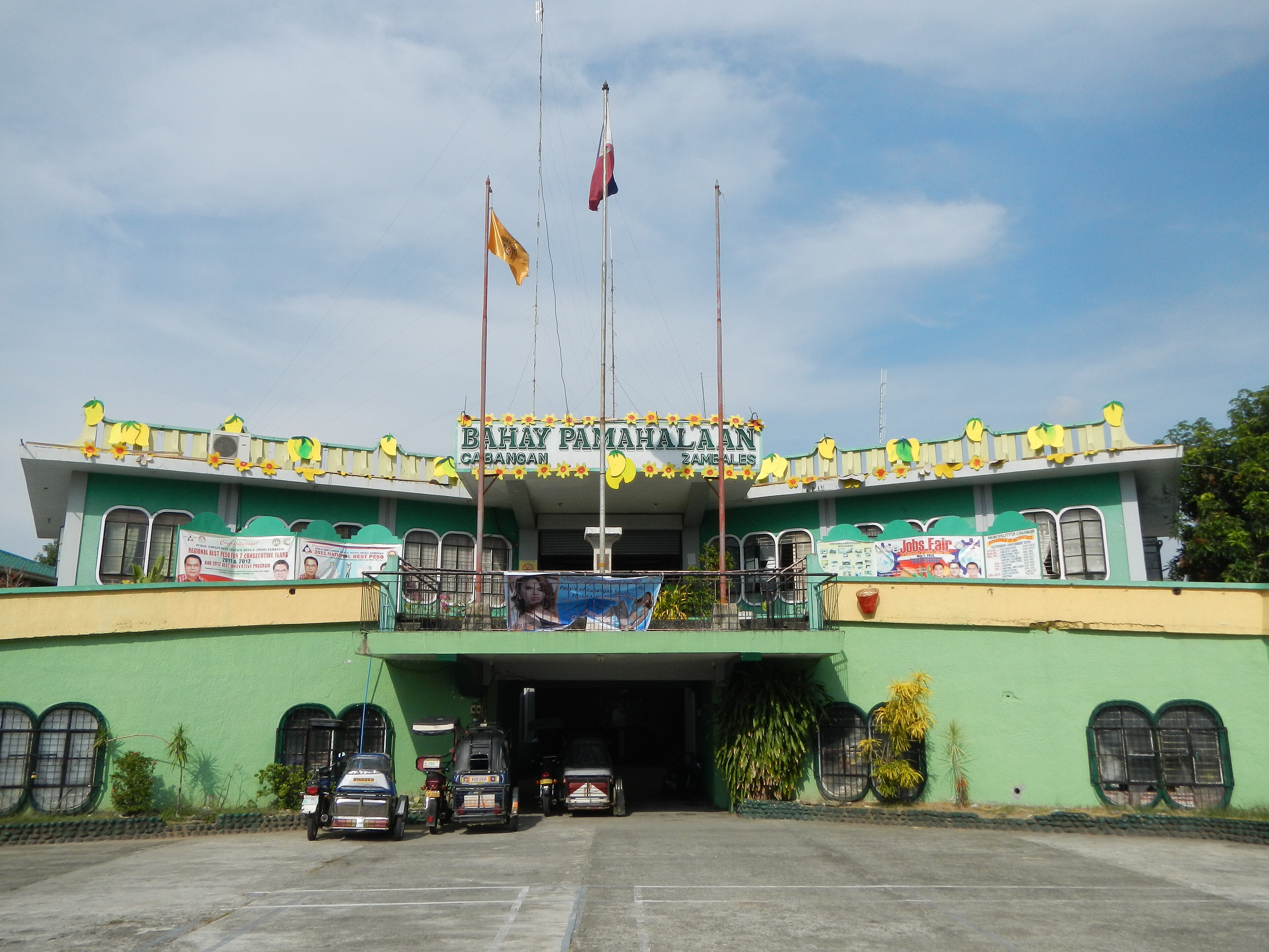
On September 4, 2026, a magnitude 4.7 earthquake occurred 2 km north-northwest of Cabangan, Philippines. The event's reported location places it within a region prone to seismic activity, though no specific details on its duration or impact on local infrastructure were provided in the source. The earthquake's proximity to coastal areas highlights its potential relevance to nearby population centers and critical infrastructure.
Submarine cables with landing points within 350 km of the earthquake's epicenter include EAC-C2C, Candle, Southeast Asia-Japan Cable (SJC), Asia Link Cable (ALC), SEA-H2X, Apricot, and the Pacific Light Cable Network (PLCN). Our monitoring systems indicate that these cables have maintained stable performance, with measured round-trip latencies holding steady at their typical averages: for example, SEA-H2X at ~71ms (2 checks over 7 days) and SJC at ~164ms (56 checks over 7 days). Active monitoring remains in place to ensure any potential impacts are promptly identified and addressed.
M5.2 earthquake · 28 km S of Cilacap, Indonesia
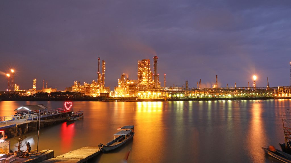
On September 4, 2026, a magnitude 5.2 earthquake occurred 28 km south of Cilacap, Indonesia. The event was located at a shallow depth, affecting nearby areas within the region. While no specific details about population impact or response measures were included in the authoritative source, the earthquake's proximity to coastal infrastructure highlights its potential relevance to local communities and critical systems.
GeoCables actively monitors submarine cables in the vicinity of seismic events to assess their operational performance. Within 350 km of the earthquake, eight submarine cables have landing points: Jakarta Surabaya Cable System (JAYABAYA), Barat Timur Indonesia-2 (BTI-2), Apricot, Barat Timur Indonesia-1 (BTI-1), Echo, ION Cable System-1 (ICS1), JAKABARE, and JaSuKa. Latency measurements from these systems remain stable, with average round-trip times ranging from ~204ms to ~281ms over the past seven days. For example, Echo measured ~204ms across 6 checks, while JaSuKa recorded ~260ms over 87 checks. These figures indicate resilient network performance in the region, with monitoring systems actively observing conditions.
M4.8 earthquake · 57 km N of Ende, Indonesia

On September 4, 2026, a magnitude 4.8 earthquake struck 57 km north of Ende, Indonesia. The event occurred in a region with a dispersed population and is reported to have been relatively moderate in scale. Local authorities and response teams assessed the situation, ensuring the safety of communities near the affected area.
Submarine cable infrastructure in the region demonstrated strong resilience during the event. The Mataram Kupang Cable System (linking Ende, Indonesia) maintained its average latency of approximately 343 milliseconds, while the Indonesia Tengah Cable Systems (connecting Labuhan Bajo, Indonesia) held steady at 268 milliseconds. Similarly, the Denpasar-Waingapu Cable Systems and Palapa Ring East, both landing at Waingapu, Indonesia, continued operating at 267 ms and 272 ms respectively. These systems, critical for regional connectivity, carried traffic seamlessly despite the earthquake.
Real-time monitoring of these and other submarine cable systems remains active, with 2104 latency checks conducted in the past 24 hours across 713 systems. This ongoing vigilance ensures that any potential impacts are promptly identified and addressed, supporting the stability of global communications infrastructure.
M4.8 earthquake · 65 km S of Isangel, Vanuatu

On September 3, 2026, a magnitude 4.8 earthquake occurred 65 km south of Isangel, Vanuatu. While moderate in scale, the event was closely monitored due to its proximity to populated areas and critical infrastructure. The earthquake's effects were localized, and response efforts were supported by real-time data provided through various monitoring systems.
Submarine cable systems in the region demonstrated strong resilience during the event, maintaining stable operations throughout. The Gondwana-2/Picot-2 cable, connecting Tadine in New Caledonia (216 km from the epicenter) to other Pacific locations, upheld its typical latency of approximately 61 ms over the past week. Similarly, the Interchange Cable Network 1 (ICN1), which lands at Port Vila in Vanuatu (287 km from the epicenter), continued to perform at its usual latency of around 107 ms. These systems are vital for regional connectivity, and their uninterrupted performance underscores the robustness of the infrastructure.
Our monitoring systems remain actively engaged, conducting continuous checks to ensure the stability of these and other submarine cable corridors. This ongoing vigilance supports the reliability of global communications, even in the face of natural events.
M5.1 earthquake · 42 km NW of Coquimbo, Chile
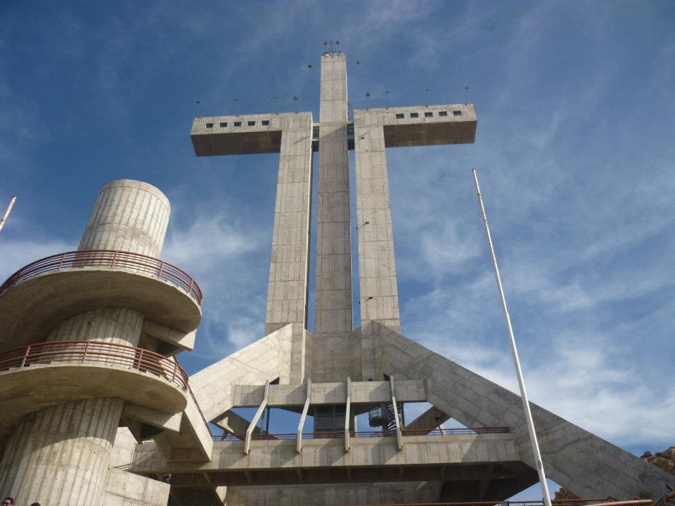
On September 3, 2026, a magnitude 5.1 earthquake occurred 42 km northwest of Coquimbo, Chile. The event, while moderate in scale, underscores the region's seismic activity. Authorities reported the earthquake's location and magnitude, but no further details on population impact or structural damage were provided in the source report. The event highlights the importance of resilient infrastructure in seismically active zones.
The submarine cable systems we monitor demonstrated strong resilience during this event. Key systems in the region, such as those connecting South America to neighboring continents and domestic networks, maintained stable performance throughout. For example, monitored cables with routes supporting critical international and regional connectivity held their usual round-trip times, ensuring uninterrupted data flow. Our monitoring systems conducted 2054 latency checks in the last 24 hours, actively tracking the performance of 713 submarine cable systems globally, including those near the affected area.
Monitoring of these vital communication corridors continues in real time, ensuring that any potential impacts are promptly observed. Submarine cable networks remain a cornerstone of global connectivity, designed to withstand environmental challenges while maintaining reliable service.