Maria Chiquita, Panama
Point d'atterrissage · PA Panama
Câbles connectés
| Câble | Statut |
|---|---|
| Alisios | Planifié |
| ARCOS | Actif |
| MANTA | Planifié |
| Pacific Caribbean Cable System (PCCS) | Actif |
| TAM-1 | Actif |
Performance en direct
Mesures RTT vers ce point du 2026-05-15 au 2026-10-05 - RTT ICMP en direct via nos sondes de mesure. Recalculé quotidiennement. ✓ Aucune anomalie détectée sur la période.
Sources de mesure
| Sonde | Emplacement | Mesures | Moy. |
|---|---|---|---|
| #65614 | control probe | 157 | 271.2 ms |
| #6982 | control probe | 144 | 272.9 ms |
| #4429 | control probe | 122 | 304.8 ms |
| #6681 | control probe | 121 | 313.9 ms |
| #55079 | control probe | 77 | 242.0 ms |
| #7007 | control probe | 40 | 297.7 ms |
| #1033 | control probe | 39 | 300.3 ms |
| #12441 | control probe | 39 | 327.9 ms |
| #33838 | control probe | 39 | 362.2 ms |
| sonde propre | Minsk BY | 9 | 195.6 ms |
| #6410 sonde propre | Sao Paulo BR | 8 | 177.0 ms |
| #6427 sonde propre | Sydney AU | 8 | 266.9 ms |
| #1042 | control probe | 6 | 309.3 ms |
| #6487 | control probe | 6 | 305.4 ms |
| #1004280 | control probe | 6 | 2.9 ms |
| #1004286 | control probe | 6 | 2.3 ms |
| #7030 | control probe | 4 | 250.1 ms |
| #65007 | control probe | 4 | 5.1 ms |
| sonde propre | Saint Petersburg RU | 4 | 177.5 ms |
| sonde propre | Kyiv UA | 3 | 199.3 ms |
À propos Maria Chiquita, Panama
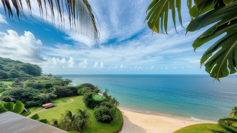
Maria Chiquita, Panama est un point d'atterrissement de câbles sous-marins situé au Panama (coordonnées 9.4373°, -79.7535°). Ce site accueille 4 systèmes de câbles sous-marins, ce qui en fait un point d'atterrissement multi-câbles dans l'infrastructure de connectivité internationale du Panama.
Câbles sous-marins connectés
| Câble | Mise en service | Longueur | Propriétaires |
|---|---|---|---|
| MANTA | 2028 | 5,600 km | Gold Data, Liberty Networks, Sparkle |
| TAM-1 | 2026 | 7,200 km | Trans Americas Fiber |
| Pacific Caribbean Cable System (PCCS) | 2015 | 6,163 km | Liberty Networks, Setar, Telconet, … |
| ARCOS | 2001 | 8,704 km | AT&T, Alestra, Bahamas Telecommunications Company, … |
Opérateurs présents à Maria Chiquita, Panama
Les câbles qui atterrissent à Maria Chiquita, Panama sont exploités par 25 partenaires de consortium et opérateurs distincts, parmi lesquels AT&T, Alestra, Bahamas Telecommunications Company, Belize Telemedia, CANTV, Claro Dominicana (Codetel), Enitel, Gold Data, Hondutel, ICE (Kolbi), et 15 autres. Chaque câble est généralement détenu conjointement par un consortium de transporteurs de niveau 1 et d'opérateurs hyperscale qui partagent les coûts de construction et la capacité. La composition des opérateurs reflète à la fois des acteurs régionaux établis et des entreprises mondiales intéressées par les routes desservies par ce point d'atterrissement.
Profil de connectivité
Depuis Maria Chiquita, Panama, le trafic international peut atteindre 18 pays via 4 systèmes de câbles. Les destinations incluent Aruba, Bahamas, Belize, Colombie, Costa Rica, Curaçao, République dominicaine, Équateur et 10 autres.
État de la surveillance
Aucun incident de surveillance n'a été enregistré sur les câbles desservant Maria Chiquita, Panama au cours des 90 derniers jours - tous les systèmes connectés sont restés dans les seuils de latence normaux. Notre réseau de surveillance échantillonne en continu la latence à partir de sondes externes vers des cibles accessibles via ces câbles.
À propos des câbles
- MANTA (2028) - MANTA est un câble sous-marin interrégional reliant le Mexique, la Colombie, le Panama et les États-Unis. Ses 6 points d'atterrissement à Cancún, Cartagena, Maria Chiquita, North Miami Beach, San Blas et 1 autre connectent les réseaux d'Amérique centrale, d'Amérique du Sud et d'Amérique du Nord, offrant une voie essentielle pour le trafic de données international. En savoir plus →
- TAM-1 (2026) - TAM-1 est un système de câbles sous-marins intercontinentaux majeur reliant 8 pays en Amérique du Sud, Amérique centrale et Amérique du Nord. Avec 10 points d'atterrissement - dont Barranquilla, Butler Bay, Cancún, Hollywood, Maria Chiquita, et 5 autres - il constitue l'une des liaisons principales transportant le trafic Internet international entre les continents. En savoir plus →
- Pacific Caribbean Cable System (PCCS) (2015) - Pacific Caribbean Cable System (PCCS) est un système de câbles sous-marins intercontinentaux majeur reliant 7 pays en Amérique du Sud et Amérique du Nord. Avec 9 points d'atterrissement - dont Balboa, Cartagena, Hudishibana, Jacksonville, Mahuma, et 4 autres - il constitue l'une des liaisons principales transportant le trafic Internet international entre les continents. En savoir plus →
- ARCOS (2001) - ARCOS est un système de câbles sous-marins intercontinentaux majeur reliant 14 pays en Amérique centrale, Amérique du Sud et Amérique du Nord. Avec 24 points d'atterrissement - dont Belize City, Bluefields, Cancún, Cartagena, Cat Island, et 19 autres - il constitue l'une des liaisons principales transportant le trafic Internet international entre les continents. En savoir plus →
Et ensuite : Maria Chiquita, Panama dans l'annuaire mondial des points d'atterrissage; visualisez les routes environnantes sur la carte interactive des câbles ou suivez la surveillance réseau en direct.
Autres points d'atterrissage en Panama
Point d'atterrissage
- PaysPA Panama
- Coordonnées9.4373°N 79.7535°W
- Câbles connectés5
Voir les routes réelles
Visualisez le routage réel des câbles sous-marins depuis Maria Chiquita, Panama - avec nœuds, distances et latence
Ouvrir le calculateur →