Makena, HI, United States
Landing Point · US United States
Connected Cables
| Cable | Status |
|---|---|
| Paniolo Cable Network | Active |
Live Performance
RTT measurements to this landing point from 2026-05-14 through 2026-07-11 - live ICMP round-trip time via our monitoring probes. Recomputed daily. ✓ No anomalies detected in the monitored period.
Measurement sources
| Probe | Location | Samples | Avg |
|---|---|---|---|
| own probe | Almaty KZ | 2 | 276.3 ms |
| own probe | Jerusalem IL | 2 | 150.5 ms |
| #6427 own probe | Sydney AU | 1 | 135.6 ms |
| #6487 | control probe | 1 | 176.3 ms |
| #7062 own probe | Cape Town ZA | 1 | 279.8 ms |
| own probe | Minsk BY | 1 | 174.1 ms |
| own probe | Tbilisi GE | 1 | 173.2 ms |
| own probe | Moscow RU | 1 | 133.3 ms |
| own probe | Saint Petersburg RU | 1 | 112.6 ms |
About Makena, HI, United States
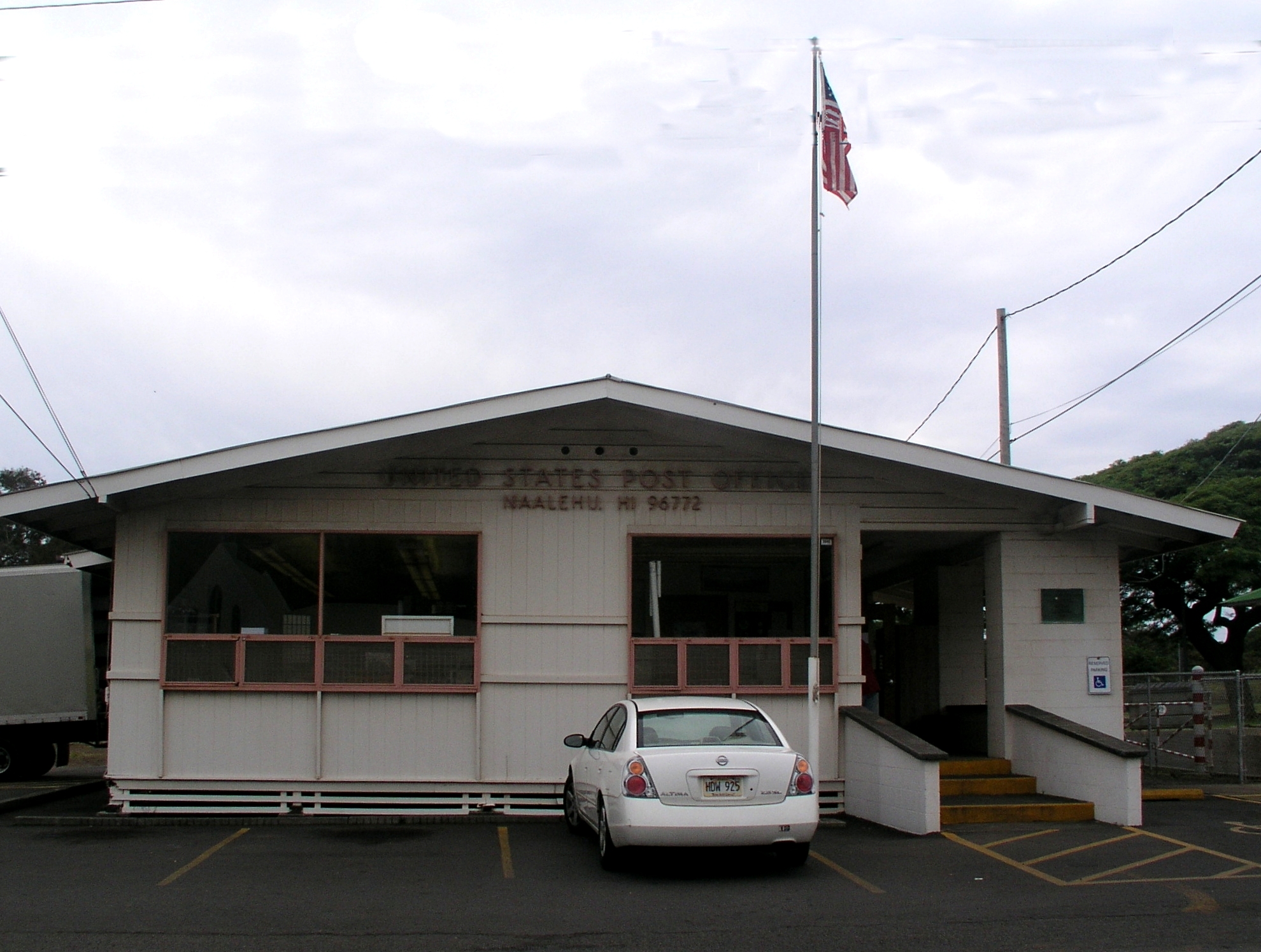
Makena, HI: Submarine Cable Landing Point
Makena is a coastal community on the island of Maui, Hawaii, and serves as a submarine cable landing point within the United States domestic network. One submarine cable lands at Makena, connecting it to other points entirely within the United States. The cable system here supports inter-island connectivity, linking parts of the Hawaiian archipelago through dedicated undersea infrastructure.
The single cable serving Makena is the Paniolo Cable Network, which operates as a domestic intra-U.S. system. Its presence at Makena reflects the role of Maui as a node in Hawaii's inter-island submarine cable geography, rather than as a gateway to international destinations.
Cables Landing at Makena, HI
The Paniolo Cable Network is the sole submarine cable landing at Makena. With a total length of 576 kilometers and a ready-for-service date of 2009, the system connects landing points that are all situated within the United States. The cable carries a draft designation, indicating its status within cable registry records. As an entirely domestic U.S. system, the Paniolo Cable Network links Hawaiian islands to one another, with Makena serving as one of its termination points.
Regional Context
Within the United States, Makena hosts a single submarine cable, placing it among the more modestly connected of the country's landing points. Other U.S. landing points carry significantly higher cable counts, including Boca Raton, FL and San Juan, PR with six cables each, and Kapolei, HI and Kawaihae, HI with five and four cables respectively - the latter two being fellow Hawaiian landing points. Makena's single-cable footprint reflects a focused, specialized role in the inter-island network rather than a position as a major multi-cable hub.
Network Role
Makena functions as a single-cable terminus in the Hawaiian submarine cable graph, connected exclusively through the Paniolo Cable Network to other U.S. domestic endpoints. Its role is oriented toward intra-island or inter-island connectivity within Hawaii, as defined by the all-U.S. geography of its only cable system. This makes Makena a specialized landing point rather than a broadly interconnected one.
In the broader context of the U.S. submarine cable network, Makena's presence highlights the distributed nature of submarine infrastructure across the Hawaiian Islands, where multiple communities serve as discrete landing points to extend connectivity across the archipelago. Its position as a single-cable node underscores that not all landing points function as high-volume multi-cable exchanges; some serve targeted, geographically specific roles within a larger domestic network.
What next: Makena, HI, United States in the global directory of cable landing points; see surrounding routes on the interactive submarine cable map or follow live network monitoring.
Other Landing Points in United States
Landing Point
- CountryUS United States
- Coordinates20.6636°N 156.4400°W
- Connected Cables1
See Real Cable Routes
View actual submarine cable routing from Makena, HI, United States - with backbone nodes, distance calculations, and latency estimates
Open Calculator →