Angoon, AK, United States
Landing Point · US United States
Connected Cables
| Cable | Status |
|---|---|
| Alaska United Southeast (AU-SE) | Active |
About Angoon, AK, United States
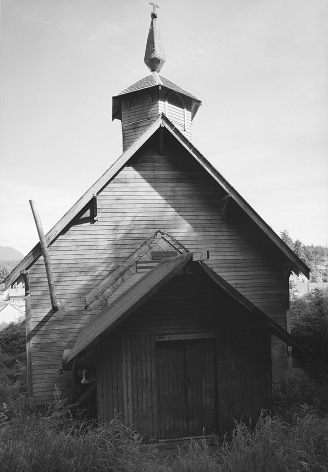
Angoon, AK: Submarine Cable Landing Point
Angoon is a city located on Admiralty Island in southeastern Alaska, United States. As a coastal community in one of the more remote stretches of the Pacific Northwest, it serves as a landing point for submarine cable infrastructure connecting it to the broader United States telecommunications network. One submarine cable lands at Angoon, the Alaska United Southeast (AU-SE) system, which links this island community to other points within Alaska and the contiguous United States domestic cable grid.
The Alaska United Southeast cable represents an intra-national connection, running entirely within the United States. For a small island community like Angoon - with a population of 357 as recorded in the 2020 census - a direct submarine cable landing provides a dedicated fixed link that would otherwise be difficult to achieve given the geographic isolation of Admiralty Island.
Cables Landing at Angoon, AK
The Alaska United Southeast (AU-SE) cable is the sole submarine cable landing at Angoon. Spanning 626 kilometers, it reached ready-for-service (RFS) status in 2008 and is currently listed with draft status. The cable connects landing points entirely within the United States, making it a domestic intra-national system. It does not extend to any foreign country. The AU-SE cable forms part of the submarine cable infrastructure serving southeastern Alaska, a region characterized by island communities and coastal towns that rely on undersea links for terrestrial network connectivity.
Regional Context
Within the United States, Angoon sits at the smaller end of the country's 160 submarine cable landing points. High-volume hubs such as Boca Raton, FL and San Juan, PR each host eight cables, while Hermosa Beach, CA, Kapolei, HI, and Myrtle Beach, SC each serve five. Angoon's single-cable landing reflects its role as a remote community terminus rather than a major international exchange node, though it still places within the top 69 percent of all United States landing points by cable count.
Network Role
Angoon functions as a single-cable terminus rather than a multi-cable hub. The Alaska United Southeast cable enables a direct submarine link between Angoon and other United States landing points along the southeastern Alaska corridor, providing the city with connectivity that bypasses the geographic challenges posed by Admiralty Island's isolation. The cable's domestic scope means Angoon's role is oriented entirely toward intra-national network continuity rather than international traffic exchange.
In the broader United States submarine cable graph - which spans 113 cables across 160 landing points - Angoon represents one of many smaller, purpose-specific landing sites that extend network reach into geographically challenging coastal areas, demonstrating that submarine cable infrastructure in the United States serves not only major international gateways but also remote inland communities.
What next: Angoon, AK, United States in the global directory of cable landing points; see surrounding routes on the interactive submarine cable map or follow live network monitoring.
Other Landing Points in United States
Landing Point
- CountryUS United States
- Coordinates57.5018°N 134.5823°W
- Connected Cables1
See Real Cable Routes
View actual submarine cable routing from Angoon, AK, United States - with backbone nodes, distance calculations, and latency estimates
Open Calculator →