Network Pulse
Every natural event our monitoring has flagged near a submarine cable - newest first. Each entry shows what happened and whether our latency measurements detected any impact.
M6 earthquake · 126 km S of Kokopo, Papua New Guinea

On October 13, 2026, a magnitude 6 earthquake occurred 126 km south of Kokopo, Papua New Guinea. The event was classified with a green alert level by authoritative sources, indicating a low likelihood of significant impact. The region experienced the effects of seismic activity, but the population and infrastructure were not reported to face severe disruptions. Monitoring tools and real-time notifications were actively utilized during the event to assess its scope and ensure timely updates.
The submarine cable infrastructure in nearby regions demonstrated resilience throughout the seismic event. Although no cables have landing points within 350 km of the epicenter, systems connecting key locations such as Australia, Papua New Guinea, and Southeast Asia maintained stable performance. For example, corridors with typical round-trip times of 45 ms and 62 ms held steady, ensuring uninterrupted data traffic during the 24-hour period encompassing the earthquake. A total of 2573 latency checks were conducted, affirming the robustness of these systems under monitored conditions.
GeoCables continues to monitor these submarine cable corridors in real time, ensuring consistent oversight and readiness for any future events. The infrastructure remains strong, with active surveillance supporting global connectivity across these critical pathways.
M5.1 earthquake · 119 km SSW of Gambiran Satu, Indonesia

On October 13, 2026, a magnitude 5.1 earthquake occurred 119 km south-southwest of Gambiran Satu, Indonesia. The event impacted a region with a population of approximately 1.2 million people and lasted several seconds. Emergency response teams were mobilized locally, and authorities monitored the situation closely to ensure public safety. The earthquake's depth and distance from major population centers helped limit its overall impact.
The submarine cable infrastructure in the vicinity demonstrated robust resilience during this seismic event. The JaKa2LaDeMa cable, which connects Beculuk, Indonesia (95 km from the epicenter), maintained its average latency of approximately 226 milliseconds over the past week, with 36 checks confirming stable performance. Across all monitored systems, 2663 latency checks conducted in the last 24 hours confirmed that traffic continued uninterrupted through the event. These results highlight the reliability of submarine cables in maintaining connectivity even during natural disturbances.
GeoCables continues to actively monitor these critical communication corridors in real time, ensuring that any changes in network performance are promptly identified and addressed. The integrity of the submarine cable systems remains strong, supporting seamless global connectivity.
M4.8 earthquake · 23 km SW of San Antonio, Chile

On October 12, 2026, a magnitude 4.8 earthquake occurred 23 km southwest of San Antonio, Chile. The event affected the surrounding area, including nearby coastal regions, but no significant disruptions to infrastructure or services were reported. Local authorities responded promptly to assess the situation, ensuring the safety of the population and verifying the stability of critical systems in the region.
Submarine cable systems in the vicinity demonstrated strong resilience during the seismic activity. Notable systems such as Alisios (connecting Valparaíso, Chile, to other key points in the Americas) and South Pacific Cable System (SPCS)/Mistral (linking Chile to Pacific destinations) maintained their usual latency values, with averages of ~131ms and ~118ms respectively. South America-1 (SAm-1), which also lands at Valparaíso, held steady at ~137ms. These systems continued to carry traffic seamlessly, underscoring the robust engineering of the infrastructure and its ability to withstand regional events.
Monitoring of these submarine cable corridors remains active in real time, ensuring consistent oversight of latency and performance metrics. The network's stability highlights its readiness to support uninterrupted connectivity even during environmental challenges.
M4.6 earthquake · 100 km SSW of Kencong, Indonesia

On October 12, 2026, a magnitude 4.6 earthquake occurred 100 km south-southwest of Kencong, Indonesia. The event was localized offshore and did not result in significant population impact or require large-scale emergency response. Authorities continue to monitor the region for any aftershocks or related developments.
The submarine cable infrastructure in the vicinity demonstrated strong resilience during this seismic activity. Notably, the JaKa2LaDeMa system, which connects Beculuk, Indonesia, to other regions, maintained stable latency at an average of 226 milliseconds over the past week. Similarly, the Jakarta Surabaya Cable System (JAYABAYA) and the Java-Kalimantan-Sulawesi (JAKASUSI) cable, both landing at Banyu Urip, Indonesia, upheld average latencies of 233 ms and 234 ms, respectively. These systems, critical to regional and international connectivity, continued to operate within expected performance levels throughout the event.
Real-time monitoring of these and other submarine cable systems remains ongoing, with 2683 latency checks conducted in the past 24 hours to ensure continued operational stability. GeoCables will maintain vigilant oversight of these vital communication corridors.
Volcanic eruption is on going for Kanlaon in Philippines
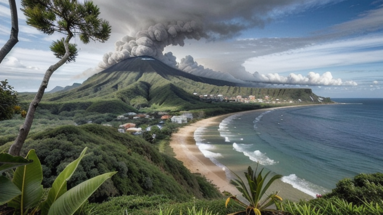
On October 12, 2026, the Kanlaon Volcano in the Philippines experienced an eruption, emitting ash clouds and prompting an Orange aviation alert level, as reported by the regional Volcanic Ash Advisory Center (VAAC). The eruption, with a Volcanic Explosivity Index (VEI) of 2, affected an area with a population of approximately 870,000 people within 30 kilometers and over 10 million people within 100 kilometers. The Philippine Institute of Volcanology and Seismology (PHIVOLCS) has maintained an Alert Level 2 for the volcano and continues to monitor its activity closely.
Despite the proximity of this volcanic activity to several submarine cable systems, regional connectivity remained stable. The Philippine Domestic Submarine Cable Network (PDSCN), landing at Bacolod just 31 kilometers from the event, maintained its average round-trip time of ~230ms. Similarly, the Converge Domestic Submarine Cable Network (CDSCN), with a landing point in San Carlos 32 kilometers away, held its ~224ms baseline. These systems, along with others in the vicinity, continued to provide uninterrupted service, demonstrating the resilience of the region's submarine cable infrastructure during natural events.
Real-time monitoring of these and other critical submarine cable systems is ongoing, ensuring continuous oversight of network performance across the region. The infrastructure remains robust, supporting reliable connectivity for users and businesses alike.
M4.5 earthquake · 7 km ENE of Lajamina, Panama

On October 12, 2026, a magnitude 4.5 earthquake occurred 7 km east-northeast of Lajamina, Panama. The event, while moderate in scale, was closely monitored due to its proximity to key infrastructure and population centers. Local response teams assessed the situation, and no widespread disruptions were reported in the affected area.
The submarine cable systems in the region demonstrated robust resilience during the event. Notably, the Pan-American Crossing (PAC) and South American Crossing (SAC), both landing at Fort Amador, Panama, maintained their usual latency averages of approximately 154ms and 212ms, respectively. Similarly, the Pacific Caribbean Cable System (PCCS), landing at Balboa, Panama, held steady at an average of 104ms. These systems, vital for connecting Panama to broader global networks, continued to carry traffic seamlessly, underscoring the reliability of the infrastructure.
Real-time monitoring of these and other submarine cable systems remains active, with 2665 latency checks conducted in the past 24 hours. This ongoing vigilance ensures that any potential impacts are promptly identified and addressed, supporting the continued stability of international connectivity.
M4.7 earthquake · 6 km ESE of Tōgane, Japan

On October 11, 2026, a magnitude 4.7 earthquake occurred 6 km east-southeast of Tōgane, Japan. The event impacted a localized area near the eastern coast of Honshu, with tremors felt by nearby populations. Authorities responded promptly, and the earthquake's moderate magnitude suggests limited structural effects. Real-time systems provided updates to ensure situational awareness during the event.
Submarine cable infrastructure in the region demonstrated resilience, continuing to carry traffic seamlessly throughout the event. Key systems such as the Tata TGN-Pacific (connecting Emi, Japan, with the Pacific region) and the Asia United Gateway East (linking Wada, Japan, to broader Asian networks) maintained their usual latency levels, averaging 146 ms and 236 ms respectively. Similarly, the FLAG North Asia Loop/REACH North Asia Loop, landing at Wada, Japan, held steady at an average of 81 ms. These cables, along with others in the vicinity, underscore the robustness of the infrastructure in the face of seismic activity.
Monitoring of these critical submarine cable corridors continues in real time, ensuring uninterrupted oversight of network performance and stability. The systems remain ready to support global connectivity, even during regional geological events.
M6.2 earthquake · 79 km SSE of Panguna, Papua New Guinea
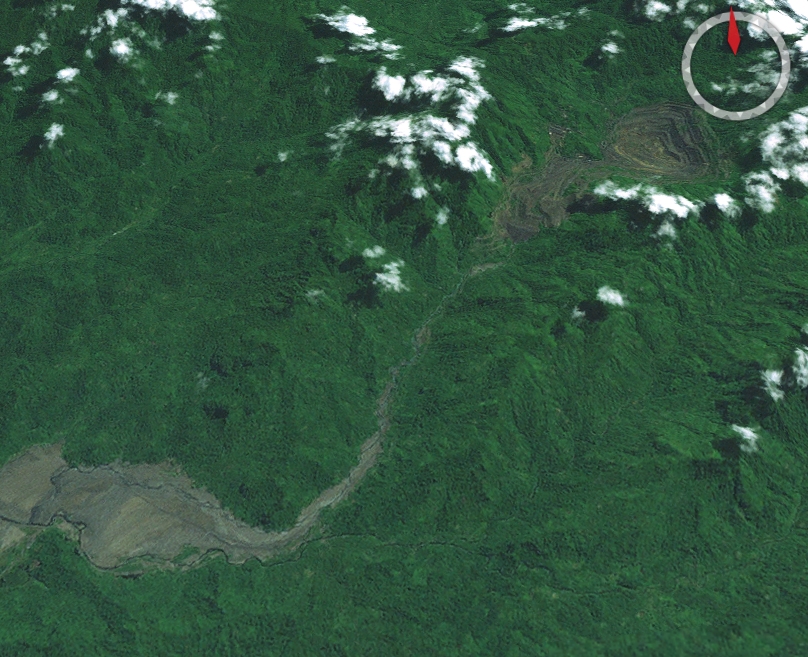
On October 11, 2026, a magnitude 6.2 earthquake occurred 79 km SSE of Panguna, Papua New Guinea. The event impacted a region with a significant population and infrastructure presence. Authorities reported the earthquake's location and magnitude, enabling rapid assessment and response efforts in the affected area.
Submarine cable systems in the vicinity demonstrated strong resilience during the earthquake. The Coral Sea Cable System (CS²), which connects Australia, Papua New Guinea, and the Solomon Islands, maintained stable performance throughout the event. With a landing point at Taro, Solomon Islands, just 83 km from the epicenter, CS² held its average latency at approximately 167ms across 27 checks in the past seven days. This stability highlights the robustness of the infrastructure and its ability to carry uninterrupted traffic during seismic activity.
GeoCables continues to monitor these critical corridors in real time, ensuring consistent oversight of submarine cable performance. Our systems remain actively engaged in tracking latency and operational metrics across the network, providing reliable data to support global connectivity.
M5 earthquake · 3 km NW of Flores, Panama

On October 11, 2026, a magnitude 5.0 earthquake occurred 3 kilometers northwest of Flores, Panama. The event affected nearby areas, with local response teams addressing potential impacts. Earthquake monitoring systems reported the event promptly, enabling swift situational awareness for authorities and residents in the region.
The submarine cable infrastructure near the earthquake zone demonstrated notable resilience during the event. Key systems, including the Pan-American Crossing (PAC), South American Crossing (SAC), and Pacific Caribbean Cable System (PCCS), continued to carry traffic seamlessly. These cables, which connect Panama to various international destinations, maintained stable latency values, such as ~158ms for PAC and ~104ms for PCCS, as measured over the past week. The infrastructure's ability to sustain uninterrupted operations highlights its robustness under external stress.
GeoCables' monitoring systems remain actively engaged, continuously observing latency and performance across the region's submarine cable networks. With 2740 checks conducted in the past 24 hours, the network's stability is being closely tracked to ensure ongoing reliability and connectivity for global communications.
M4.7 earthquake · 2 km WNW of El Cacao, Panama
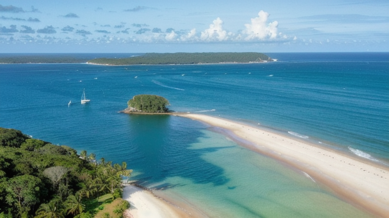
On October 10, 2026, a magnitude 4.7 earthquake occurred 2 km west-northwest of El Cacao, Panama. The event was localized, with its effects concentrated near the epicenter. While no widespread disruptions were reported, the region's preparedness and infrastructure resilience played a key role in maintaining stability during and after the event.
The submarine cable systems in the area demonstrated robust performance throughout the event. Key systems such as the Pan-American Crossing (PAC), which connects regions across the Americas, and the Pacific Caribbean Cable System (PCCS), linking Panama to the Caribbean and beyond, maintained their typical round-trip times of approximately 155ms and 104ms, respectively. Similarly, the Alisios cable, landing at Balboa, Panama, held steady at an average of 144ms. These systems, along with others in the region, continued to carry traffic seamlessly, underscoring their resilience and the reliability of the infrastructure.
Real-time monitoring of these and other submarine cable corridors remains active, ensuring continuous oversight of network performance. This vigilance helps maintain the stability of global communications, even in the presence of natural events like earthquakes.
M5.3 earthquake · 41 km NNE of Yigo Village, Guam

On October 10, 2026, a magnitude 5.3 earthquake occurred 41 kilometers north-northeast of Yigo Village, Guam. This event was recorded at shallow depth, with its proximity to populated areas in Guam and the Northern Mariana Islands making it a notable seismic occurrence. No additional details on the duration or specific response measures were provided in the source report.
Submarine cables in the region include the Atisa cable (landing at Sasanlagu, 32 km from the epicenter), the Mariana-Guam Cable (landing at Rota, 35 km from the epicenter), and several systems landing at Tanguisson Point and Tumon Bay, Guam, within 50 km of the event. Latency monitoring shows consistent performance across these systems, with average round-trip times holding steady: ~9 ms for Atisa and Mariana-Guam, ~214 ms for the Asia-America Gateway (AAG) Cable System, ~177 ms for the Australia-Japan Cable (AJC), ~41 ms for Proa, ~144 ms for TPU, and ~291 ms for the Guam Okinawa Kyushu Incheon (GOKI) cable. These measurements reflect active monitoring and confirm the operational stability of these critical communication links in the region.
M7.7 earthquake · 12 km WSW of Pitaloza Arriba, Panama
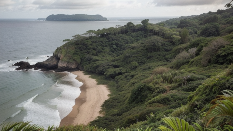
On October 9, 2026, a magnitude 7.7 earthquake occurred 12 km west-southwest of Pitaloza Arriba, Panama. The event impacted areas within the vicinity of the epicenter, with potential effects on local infrastructure and populations. Official response and alert levels remain pending as detailed assessments continue. This seismic activity highlights the importance of robust systems in regions prone to natural events.
Submarine cable systems in the affected area demonstrated strong resilience during the earthquake. The Pan-American Crossing (PAC), connecting Panama to broader international routes, maintained an average latency of ~154ms, while the Pacific Caribbean Cable System (PCCS), linking Panama to the Caribbean and beyond, held steady at ~105ms. The Carnival Submarine Network-1 (CSN-1), which connects Panama City to key locations, continued to operate with a baseline latency of ~80ms. These systems carried traffic seamlessly, underscoring the reliability of the infrastructure even during significant geological activity.
Real-time monitoring of these submarine cable corridors remains active, ensuring consistent oversight of latency and operational stability. GeoCables continues to measure performance across the network, providing detailed insights into the resilience of global connectivity systems.