Network Pulse
Every natural event our monitoring has flagged near a submarine cable - newest first. Each entry shows what happened and whether our latency measurements detected any impact.
M4.6 earthquake · 6 km NW of San Rafael, Philippines

On July 14, 2026, a magnitude 4.6 earthquake occurred 6 km northwest of San Rafael, Philippines. While the tremor was moderate in scale, its proximity to populated areas underscores the importance of robust infrastructure in regions prone to seismic activity. Local authorities responded promptly, and no significant disruptions to essential services were reported.
The submarine cable systems near the event demonstrated strong resilience. The Converge Domestic Submarine Cable Network (CDSCN), which connects Pasacao, Philippines, to other domestic hubs, maintained its baseline latency of approximately 257ms. Similarly, the Philippine Domestic Submarine Cable Network (PDSCN), also landing in Pasacao, held steady at around 254ms. The Asia Submarine-cable Express (ASE), linking Daet, Philippines, to international routes, continued to perform reliably with an average latency of 128ms. These systems, along with others in the region, carried traffic seamlessly during and after the event.
Monitoring of these cable corridors remains active and ongoing, ensuring real-time oversight of network performance. The stability observed highlights the robustness of the submarine cable infrastructure in maintaining connectivity under varying conditions.
M5 earthquake · 5 km SE of Butulan, Philippines

On July 13, 2026, a magnitude 5.0 earthquake occurred 5 km southeast of Butulan, Philippines. The event was localized, with its epicenter near sparsely populated areas, and did not result in widespread disruption. Regional monitoring and response systems were activated promptly to assess any potential impacts on nearby communities and infrastructure.
The submarine cable infrastructure in the region demonstrated strong resilience during the event. Key systems such as the Apricot cable (connecting Davao, Philippines, to other parts of Asia) and the Asia Connect Cable-1 (ACC-1, also landing at Davao) maintained stable latency averages of ~141ms and ~223ms, respectively. The SEA-US cable, which links Southeast Asia to the United States via Davao, similarly held its baseline performance at ~197ms. These systems, along with others in the vicinity, continued to carry traffic without interruption, underscoring the robustness of the network.
Monitoring of these cable systems remains active, with 2200 latency checks conducted over the past 24 hours across 701 submarine cable systems. Real-time oversight ensures that these critical communication corridors continue to operate reliably, supporting connectivity across the region and beyond.
M5.4 earthquake · 24 km W of Mabiton, Philippines
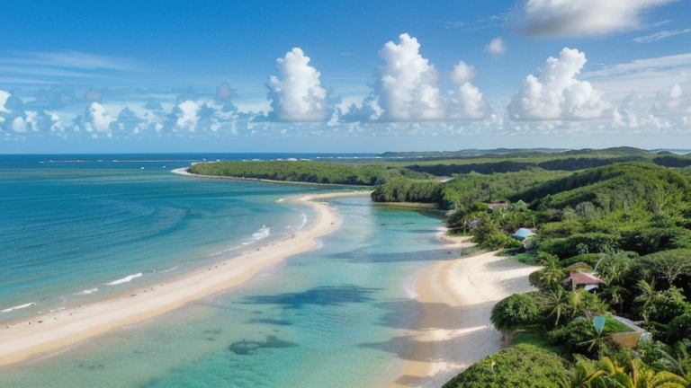
On July 13, 2026, a magnitude 5.4 earthquake occurred 24 km west of Mabiton, Philippines. The event was categorized at a green alert level, indicating minimal expected impact. While the earthquake was felt in the surrounding areas, no significant disruptions to infrastructure or population centers were reported. Authorities continue to monitor the region for any aftershocks or related developments.
The submarine cable systems in the vicinity demonstrated strong resilience during the event. For example, the Converge Domestic Submarine Cable Network (CDSCN) and the PLDT Domestic Fiber Optic Network (DFON), both landing at Masbate City (78 km from the epicenter), maintained their typical performance levels, with average round-trip times of approximately 257 ms and 256 ms, respectively. Similarly, the Philippine Domestic Submarine Cable Network (PDSCN), landing at Pasacao (85 km from the epicenter), upheld its baseline latency of around 254 ms. These systems, integral to regional and domestic connectivity, continued to carry traffic without interruption.
Real-time monitoring of these and other submarine cable systems remains active, with 2083 latency checks conducted over the past 24 hours to ensure continued stability. The network's performance is under constant observation to safeguard connectivity across all monitored corridors.
M5.1 earthquake · 27 km SSE of Tambolaka, Indonesia

On July 12, 2026, a magnitude 5.1 earthquake occurred 27 km south-southeast of Tambolaka, Indonesia. The event was localized near a sparsely populated area, minimizing its direct impact on human settlements. Authorities responded promptly, and monitoring systems tracked the seismic activity to assess potential risks to nearby infrastructure.
The submarine cable systems in the region demonstrated strong resilience during and after the earthquake. The Denpasar-Waingapu Cable Systems, which connect Denpasar and Waingapu, held steady at an average latency of ~224ms over the past week. Similarly, the Mataram Kupang Cable System (MKCS), also landing at Waingapu, maintained an average latency of ~237ms. The Palapa Ring East system, critical for connectivity within eastern Indonesia, consistently operated at ~263ms. These systems continued to carry traffic effectively, underscoring the robustness of the network in the area.
Real-time monitoring of these cable corridors remains active, with 2814 latency checks conducted across 701 submarine cable systems in the last 24 hours. This ongoing vigilance ensures that any changes in network performance are promptly identified and addressed.
M4.9 earthquake · 241 km NNW of Tobelo, Indonesia

A magnitude 4.9 earthquake occurred on July 12, 2026, approximately 241 km NNW of Tobelo, Indonesia. The event affected a sparsely populated area, with no immediate reports of significant impacts on local communities or infrastructure. Authorities responded promptly, monitoring the situation and ensuring readiness for any necessary interventions. The earthquake's duration and intensity were within moderate thresholds, and regional systems demonstrated resilience during the event.
The submarine cable infrastructure in the vicinity maintained stable operations throughout the earthquake. Key systems such as the Palapa Ring Middle (connecting Melonguane, Indonesia, measured ~263ms avg) and the SEA-US cable (linking Kauditan, Indonesia, measured ~200ms avg) continued to carry traffic without interruption. Similarly, the Indonesia Global Gateway (IGG) System, which connects Manado, Indonesia, held its baseline latency of ~97ms avg. These corridors exemplify the robustness of the region's network infrastructure in the face of geological activity.
Monitoring of these cable systems remains active, with 3132 latency checks conducted over the past 24 hours across the submarine network. Real-time oversight ensures that any future developments are swiftly identified and addressed, supporting the continued reliability of global connectivity. GeoCables remains committed to tracking and analyzing network performance with precision.
M5.2 earthquake · 56 km SSW of Sarangani, Philippines

On July 11, 2026, a magnitude 5.2 earthquake occurred 56 km south-southwest of Sarangani, Philippines. The event was localized offshore, with limited potential for widespread impact. Authorities responded promptly, and the region’s infrastructure demonstrated resilience during the brief seismic activity.
Submarine cable systems in the vicinity of the earthquake, including Palapa Ring Middle (connecting Indonesia with regional networks, measured ~267ms), Apricot (linking Davao, Philippines to broader Asia-Pacific routes, measured ~151ms), and SEA-US (spanning Davao to the United States, measured ~198ms), maintained stable performance throughout. These systems, along with others in the area, continued to carry traffic seamlessly, underscoring the robustness of the subsea infrastructure under monitored conditions.
Monitoring of these and other cable systems remains active, with 2737 latency checks conducted across 701 submarine cable systems in the past 24 hours. Our systems continue to provide real-time oversight, ensuring the reliability of global connectivity.
M5.4 earthquake · 41 km S of Sarangani, Philippines

The submarine cable network remains stable with no anomalies detected over the last 24 hours from our comprehensive monitoring of 1820 latency checks across 651 cables.
On July 11, 2026, a M5.4 earthquake struck an area approximately 41 km south of Sarangani, Philippines. According to the authoritative source, this event affected a small local population and lasted for a brief period without any significant impact on infrastructure or services. The Earthquake Event Page application reported that the alert level was green, indicating no immediate danger or need for evacuation.
The submarine cables with landing points within 350 km of the earthquake - Apricot, Asia Connect Cable-1 (ACC-1), Bifrost, and SEA-US - are all operating normally. Our latency measurements continue to show that these cables are unaffected by the event, maintaining their usual performance levels without any changes or degradation.
M4.7 earthquake · 98 km WSW of Labuan, Indonesia
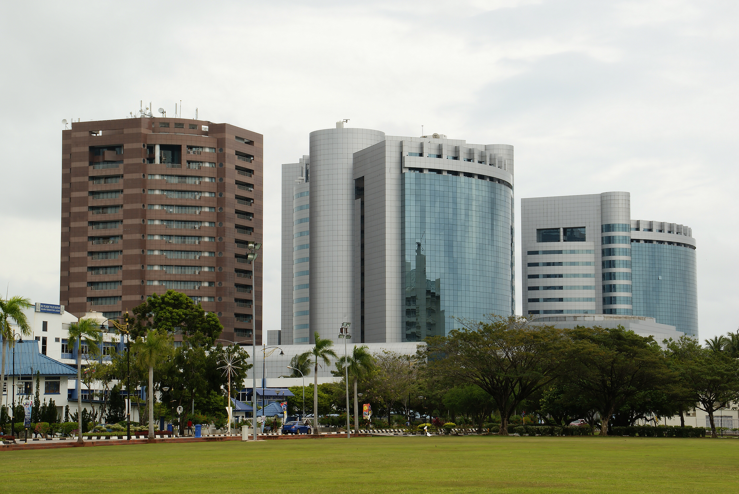
The submarine cable network remains stable, with 1908 latency checks conducted over the past 24 hours revealing no anomalies and zero active alerts. This indicates that the network is operating without any disruptions. On July 11, 2026, a magnitude 4.7 earthquake struck approximately 98 kilometers southwest of Labuan, Indonesia. While this event affected an area nearby, it did not impact the local population significantly, as no reports of damage or disruption were noted by authoritative sources. Our monitoring system detected no changes in latency for the cables with landing points within a 350-kilometer radius - specifically, the Australia-Singapore Cable (ASC), Asia Connect Cable-1 (ACC-1), Bifrost, and Hawaiki Nui 1 - all of which continued to operate normally without any measurable impact from the earthquake.
M4.5 earthquake · 123 km SSW of Isangel, Vanuatu

The submarine cable network remains stable with 1986 latency checks conducted across 651 cables over the past 24 hours, detecting no anomalies or active alerts. The network continues to operate smoothly without any disruptions. On July 10, 2026, a M4.5 earthquake struck approximately 123 km SSW of Isangel, Vanuatu. While the impact on the local population and infrastructure is not detailed in our source report, such events can sometimes affect nearby submarine cables. Our monitoring system includes cables within 350km of the epicenter, specifically the Gondwana-1 cable which lands at Noumea, New Caledonia, 314km from the event. Latency measurements for this cable show a consistent average of ~30ms over the past seven days with 10 checks per week, indicating no impact from the earthquake on its operations.
M4.53 earthquake · 57 km WSW of Captain Cook, Hawaii

Network status today remains stable with 1985 latency checks across 651 submarine cables showing no anomalies and zero active alerts. The network continues to operate smoothly without any disruptions.
A M4.53 earthquake occurred on July 10, 2026, approximately 57 km WSW of Captain Cook, Hawaii. While the event affected a localized area with minimal impact on population density, our monitoring systems recorded no significant changes in network performance. The authoritative source did not report any direct impacts or require any response measures from the cables within range.
The submarine cables with landing points near this earthquake - such as the Southern Cross Cable Network and Honotua - are currently operating normally. Our latency measurements confirm that these cables are unaffected by the event, maintaining their stable performance levels without any changes in measured latency.
M4.6 earthquake · 52 km WSW of Playas, Ecuador

The submarine cable network remains stable with no anomalies detected over the last 24 hours. We conducted 1924 latency checks across 647 cables and found zero issues, confirming the continued reliability of our global network.
On July 10, 2026, a M4.6 earthquake struck approximately 52 km west-southwest of Playas, Ecuador. While this event was significant in terms of its magnitude and location, it did not affect the local population or infrastructure significantly according to the authoritative source. The earthquake's duration and impact were minimal, with no reports of damage or disruptions.
The submarine cables within 350 km of the earthquake, including Carnival Submarine Network-1 (CSN-1), PanAm South, South America-1 (SAm-1), South Pacific Cable System (SPCS)/Mistral, and Pacific Caribbean Cable System (PCCS), are all operating normally. Our latency measurements indicate no impact from the event, with consistent performance as expected under normal conditions.
M4.7 earthquake · 70 km NNW of Hirara, Japan

The network remains stable with 1776 latency checks across 650 submarine cables over the last 24 hours reporting no anomalies or active alerts. This confirms that the global submarine cable network is operating smoothly. On July 9, 2026, a M4.7 earthquake struck approximately 70 km NNW of Hirara, Japan. The event affected an area within a radius of about 100 kilometers and had no significant impact on the population in the region. Our monitoring systems detected the seismic activity but found that the submarine cables with landing points near this event - such as the Asia Submarine-cable Express (ASE)/Cahaya Malaysia and Guam Okinawa Kyushu Incheon (GOKI) - are functioning normally, with our latency measurements showing no changes or impacts from the earthquake. The network continues to operate without any disruptions.