Yaese, Japan
Landing Point · JP Japan
Connected Cables
| Cable | Status |
|---|---|
| Kitadaito Island | Active |
| Okinawa-Miyakojima-Ishigaki | Active |
📡 Live Performance
RTT measurements to this landing point from 2026-04-11 through 2026-07-05 - live ICMP round-trip time via our monitoring probes. Recomputed daily. ✓ No anomalies detected in the monitored period.
Measurement sources
| Probe | Location | Samples | Avg |
|---|---|---|---|
| #1014589 own probe | Almaty KZ | 5 | 292.4 ms |
| #1014473 own probe | Minsk BY | 4 | 264.5 ms |
| #1014597 own probe | Tbilisi GE | 4 | 276.5 ms |
| #1014969 own probe | Jerusalem IL | 4 | 280.0 ms |
| #1015313 own probe | Sevastopol UA | 2 | 289.4 ms |
| #1015523 own probe | Moscow RU | 2 | 258.6 ms |
| #6410 own probe | Sao Paulo BR | 1 | 291.5 ms |
| #6427 own probe | Sydney AU | 1 | 177.0 ms |
| #6487 own probe | Singapore SG | 1 | 80.9 ms |
| #7062 own probe | Cape Town ZA | 1 | 388.3 ms |
| #1015563 own probe | Saint Petersburg RU | 1 | 266.3 ms |
About Yaese, Japan
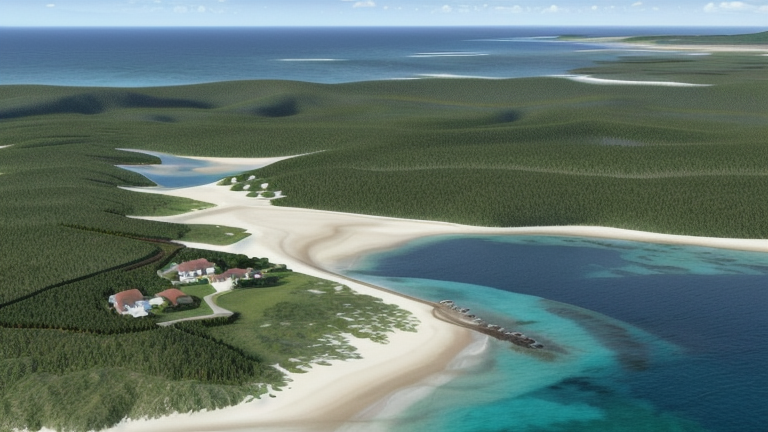
Yaese, Japan: Submarine Cable Landing Point
Yaese is a landing point located in Japan, serving as the coastal terminus for submarine cable infrastructure connecting the Japanese mainland and its surrounding island territories. As a landing point within Japan's extensive cable network, Yaese hosts one submarine cable that links Japanese territories across a regional corridor. The cable landing here supports inter-island connectivity entirely within Japan, rather than intercontinental or cross-border routes.
The single cable landing at Yaese connects Japanese islands to one another, placing this location within a domestic submarine cable corridor. While its cable count is modest compared to some of Japan's more prominent landing points, Yaese contributes to the overall resilience and reach of Japan's intra-national undersea network.
Cables Landing at Yaese
The Kitadaito Island cable is the sole submarine cable landing at Yaese. Spanning approximately 410 kilometres, this cable reached ready-for-service status in 2022 and connects landing points that are all located within Japan. The cable's name references Kitadaito Island, one of the Daito Islands situated in the Philippine Sea east of Okinawa, indicating its role in linking these outlying Japanese island communities with other parts of the Japanese cable network. All endpoints on this cable fall within Japanese territory, making it a domestic inter-island system rather than an international link.
Regional Context
Within Japan's broader submarine cable landscape, Yaese is a comparatively small landing point. Major Japanese cable hubs such as Shima, with eleven cables, and Maruyama, with nine, serve as far more densely connected nodes, while locations like Chikura, Minamiboso, and Hachijo host multiple cables serving both domestic and international routes. Naha, also located in the Okinawa region with three cables, represents the nearest comparable peer to Yaese in terms of geographic proximity and regional function.
Network Role
Yaese functions as a single-cable terminus within Japan's submarine cable graph, serving the specific purpose of connecting Japanese island communities via the Kitadaito Island cable. Its role is narrowly defined: providing a fixed undersea link between geographically dispersed Japanese islands that would otherwise rely on alternative and potentially less direct forms of connectivity. The 410-kilometre cable it hosts reflects the distances involved in reaching the Daito Island group from Okinawa's main island area.
As a domestic inter-island landing point, Yaese occupies a specialised position in the regional submarine cable network, ensuring that outlying Japanese island territories remain connected within the national cable infrastructure. Its presence in the broader Japanese cable map illustrates the extent to which Japan has invested in sub-national submarine links to serve even relatively remote island communities.
Other Landing Points in Japan
Landing Point
- CountryJP Japan
- Coordinates26.1348°N 127.7286°E
- Connected Cables2
See Real Cable Routes
View actual submarine cable routing from Yaese, Japan - with backbone nodes, distance calculations, and latency estimates
Open Calculator →