Durres, Albania
Punto de amarre · AL Albania
Cables conectados
| Cable | Estado |
|---|---|
| Adria-1 | Activo |
| Italy-Albania | Activo |
Rendimiento en vivo
Mediciones RTT a este punto de 2026-03-07 a 2026-10-22 - RTT ICMP en vivo mediante nuestras sondas. Recalculado diariamente. ✓ Sin anomalías detectadas en el período.
Fuentes de medición
| Sonda | Ubicación | Muestras | Prom. |
|---|---|---|---|
| #1014099 | control probe | 92 | 54.4 ms |
| #1011241 | control probe | 89 | 21.6 ms |
| #6427 sonda propia | Sydney AU | 24 | 294.0 ms |
| sonda propia | Odessa UA | 22 | 54.8 ms |
| sonda propia | Kyiv UA | 17 | 32.3 ms |
| sonda propia | Sevastopol UA | 6 | 121.8 ms |
| sonda propia | Minsk BY | 2 | 49.3 ms |
| #6410 sonda propia | Sao Paulo BR | 1 | 0.5 ms |
| sonda propia | Almaty KZ | 1 | 117.4 ms |
| sonda propia | Tbilisi GE | 1 | 45.5 ms |
| sonda propia | Jerusalem IL | 1 | 77.4 ms |
| sonda propia | Moscow RU | 1 | 70.0 ms |
Acerca de Durres, Albania
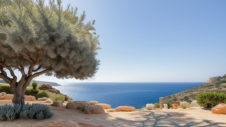
Durres is Albania’s primary Adriatic port and one of the oldest continuously inhabited cities on the Balkan peninsula, with roots dating back to 627 BC. As a submarine cable landing site, Durres anchors two undersea systems that carry the bulk of Albania’s international internet traffic toward Italy and the wider European backbone. The port’s strategic location - less than 200 kilometres across the Adriatic from the Italian coastline - makes it a natural cable terminus for short, low-latency links to Bari and beyond. This proximity gives Albania one of the shortest transit paths to a tier-one European interconnection point anywhere on the continent.
Albania’s international connectivity has historically depended on a small number of terrestrial and submarine paths into Greece, Italy, and Montenegro. The two cables landing at Durres - Italy-Albania 1 and Adria-1 - serve as redundant Adriatic crossings that give Albanian operators geographic diversity against cuts in the single land route via the Balkans. Any prolonged disruption to either system would measurably degrade Albania’s connectivity to Europe, which is why operators treat them as a matched pair rather than as independent resources.
Operators landing at Durres include Albtelecom, the incumbent national carrier, and OTE Globe, the international arm of Deutsche Telekom’s Greek subsidiary. The landing station sits on the city waterfront close to the commercial port, with terrestrial backhaul running east to Tirana - Albania’s capital and the country’s main interconnection point - roughly 35 kilometres inland.
For external observers, Durres is a useful vantage point on Balkan connectivity: a small country’s entire submarine link footprint concentrated at a single harbour, with dependencies that are legible from the outside and recoverable via well-mapped alternatives. The Adriatic is shallow and densely fished, which has historically meant higher cable fault rates compared to deep-ocean crossings; restoration times have nevertheless been acceptable thanks to the short cable lengths involved.
GeoCables monitors latency from external vantage points through both Italy-Albania cables and cross-references observed round-trip times against the distance-based physical lower bound. Any deviation exceeding our anomaly threshold for an Albania target is flagged against whichever of the two systems is currently active, producing an auditable incident log that complements operator-side reporting.
Qué más: Durres, Albania en el directorio global de puntos de amarre; vea las rutas cercanas en el mapa interactivo de cables o siga la supervisión de red en vivo.
Otros puntos de amarre en Albania
Punto de amarre
- PaísAL Albania
- Coordenadas41.3167°N 19.4501°E
- Cables conectados2
Ver rutas reales
Visualice el enrutamiento real de cables submarinos desde Durres, Albania - con nodos, distancias y latencia
Abrir calculadora →