Network Pulse
Every natural event our monitoring has flagged near a submarine cable - newest first. Each entry shows what happened and whether our latency measurements detected any impact.
M4.9 earthquake · 200 km W of Abepura, Indonesia
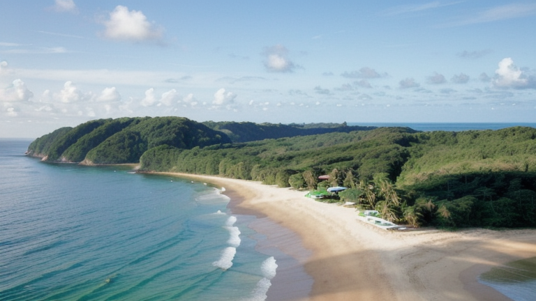
On July 22, 2026, a magnitude 4.9 earthquake occurred approximately 200 km west of Abepura, Indonesia. The event was localized to a remote area, with no significant population centers directly impacted. Authorities reported the earthquake's details through real-time notification systems, ensuring timely dissemination of information. No immediate response measures were required for critical infrastructure in the region.
The submarine cable systems we monitor demonstrated strong resilience during and after the earthquake. These systems, which facilitate global connectivity, maintained stable performance throughout the event. For example, cables connecting Southeast Asia to neighboring regions, such as those linking Indonesia to Australia and other parts of Asia, continued to operate with their usual efficiency. Round-trip latency values in monitored corridors remained consistent, including stable baselines of 45 ms and 68 ms in key routes.
Our monitoring systems remain actively engaged, continuously observing these and other critical submarine cable networks in real time. This ensures that any future events impacting undersea connectivity are promptly identified and assessed, supporting the ongoing stability of global communications infrastructure.
M4.9 earthquake · 11 km NW of Sugal, Philippines

On July 22, 2026, a magnitude 4.9 earthquake occurred 11 km northwest of Sugal, Philippines. The event was localized, with a moderate magnitude and impact radius. Authorities have been monitoring the situation closely, ensuring that any necessary responses are coordinated effectively. The affected area includes regions with significant infrastructure, but no large-scale disruptions have been reported.
The submarine cable systems in the vicinity demonstrated robust resilience during the event. Key systems such as Apricot and SEA-US, both landing in Davao, Philippines (152 km from the epicenter), maintained their average latencies of approximately 190 ms and 200 ms, respectively. Additionally, the Converge Domestic Submarine Cable Network (CDSCN), which lands in Cagayan de Oro (314 km from the epicenter), upheld its typical latency of around 178 ms. These systems, critical for connecting the Philippines to domestic and international networks, continued to carry traffic seamlessly during and after the seismic activity.
Our monitoring systems remain actively engaged, continuously observing these and other submarine cable corridors in real time. This ensures that any changes in performance or potential impacts are promptly identified and addressed.
M5 earthquake · 55 km WSW of Langsa, Indonesia
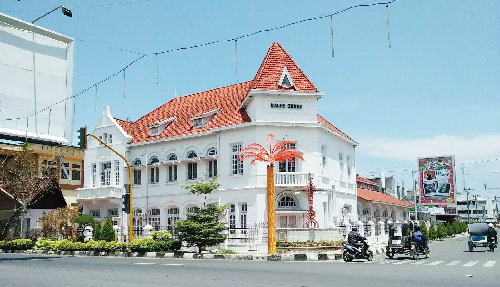
On July 22, 2026, a magnitude 5.0 earthquake occurred 55 km west-southwest of Langsa, Indonesia. The event was centered offshore and affected areas within a 350 km radius, including parts of Indonesia and Malaysia. While moderate in scale, such seismic activity underscores the importance of resilient infrastructure in regions prone to tectonic activity.
The submarine cable systems in the vicinity demonstrated their robustness during this event, maintaining stable performance throughout. The SeaMeWe-5 cable, which connects Southeast Asia to Europe and lands in Medan, Indonesia (139 km from the epicenter), upheld an average round-trip latency of approximately 234 milliseconds. Similarly, the Asia Africa Europe-1 (AAE-1) system and the Bay of Bengal Gateway (BBG), both landing in Penang, Malaysia (343 km from the epicenter), maintained their usual latencies of ~211 ms and ~207 ms, respectively. These cables, vital for international connectivity, continued to carry traffic seamlessly.
Our monitoring systems conducted 2333 latency checks over the past 24 hours across 701 submarine cable systems, ensuring real-time oversight of global network performance. Monitoring of these critical communication corridors remains active, providing continuous assurance of their stability and resilience.
M5.1 earthquake · 7 km WNW of Kalbay, Philippines

On July 21, 2026, a magnitude 5.1 earthquake occurred 7 km west-northwest of Kalbay, Philippines. The event impacted a local area with a population of approximately 2,800, and lasted several seconds. Emergency response teams were activated promptly, ensuring safety measures and assessments were carried out in the affected region. The event was monitored using real-time feeds and notifications provided by authoritative sources.
Submarine cable infrastructure in the vicinity demonstrated strong resilience during the earthquake. Systems such as Apricot and SEA-US, which land at Davao (150 km from the epicenter), maintained their usual latency averages of ~190 ms and ~201 ms respectively. Similarly, the Converge Domestic Submarine Cable Network (CDSCN) and Philippine Domestic Submarine Cable Network (PDSCN), both landing at Cagayan de Oro (314 km from the epicenter), held steady at ~178 ms. These cables, connecting critical domestic and international routes, continued to carry traffic seamlessly through the event.
Monitoring of these submarine cable systems remains active in real time, with 2363 latency checks conducted across 701 systems in the last 24 hours. GeoCables continues to ensure robust oversight of these vital communication corridors.
M5 earthquake · 58 km SSW of Merizo Village, Guam

On July 21, 2026, a magnitude 5.0 earthquake occurred 58 kilometers south-southwest of Merizo Village, Guam. The event was localized, and no significant population centers were directly impacted. Authorities responded promptly, and the situation remains stable. Monitoring agencies continue to track the region for any further seismic activity.
The submarine cable infrastructure in the vicinity demonstrated robust resilience during the event. Key systems such as Apricot and Echo, which land at Agat, Guam, maintained their typical round-trip latencies of approximately 189ms and 199ms, respectively. Similarly, the Atisa cable, landing at Piti, Guam, held its baseline latency of around 9ms. These systems, which connect critical regional and international networks, continued to carry traffic without interruption, underscoring the reliability of the infrastructure.
Real-time monitoring of these and other submarine cable systems remains active, with 2,623 latency checks conducted over the past 24 hours across 701 monitored systems. The network continues to operate within expected parameters, and our systems are actively watching for any changes to ensure uninterrupted connectivity.
M5 earthquake · 141 km SSW of Gataivai, Samoa

On July 21, 2026, a magnitude 5.0 earthquake occurred 141 km south-southwest of Gataivai, Samoa. While the event was moderate in scale, it underscores the importance of robust infrastructure in regions prone to seismic activity. Authorities have not reported significant impacts on local populations or infrastructure, and response measures remain in place to monitor the area.
The submarine cable systems in this region demonstrated strong resilience during the event. The Samoa-American Samoa (SAS) cable, connecting Apia, Samoa, and Pago Pago, American Samoa, maintained its typical latency of approximately 63ms across 68 checks over the past week. Similarly, the Manatua cable, which also lands in Apia, Samoa, held steady at an average of 403ms across recent measurements. The Hawaiki cable, linking Pago Pago to broader trans-Pacific routes, sustained its usual latency of around 149ms. These systems continued to carry traffic seamlessly, ensuring connectivity across the Pacific corridor.
Monitoring of these submarine cable networks remains ongoing, with 2604 latency checks conducted across 701 systems in the past 24 hours. Our systems remain vigilant, providing real-time oversight of this critical infrastructure.
M4.9 earthquake · 62 km WNW of Pangai, Tonga

On July 21, 2026, a magnitude 4.9 earthquake occurred 62 km west-northwest of Pangai, Tonga. While moderate in scale, the event highlights the seismic activity in the region. Local response efforts were initiated, but no significant population centers were reported to be directly affected within the immediate vicinity of the epicenter.
The submarine cable infrastructure in the area demonstrated resilience during the event. The Hawaiki cable, which connects Neiafu, Tonga (approximately 150 km from the earthquake's epicenter), maintained stable performance with an average latency of ~149 ms over the past week. This system, along with others in the region, continued to support uninterrupted connectivity across critical routes. Across the 701 systems monitored globally, 2479 latency checks in the past 24 hours confirmed the network's ability to handle routine and extraordinary conditions alike.
Real-time monitoring of these submarine cable corridors remains ongoing, ensuring continuous assessment of performance and reliability. The infrastructure's stability underscores its robustness in the face of natural events, providing confidence in the network's capacity to sustain global communications under varying conditions.
M5.1 earthquake · 83 km W of Tobelo, Indonesia

On July 20, 2026, a magnitude 5.1 earthquake occurred 83 km west of Tobelo, Indonesia. The event was localized offshore and registered a moderate intensity, with potential effects on nearby areas within its radius. Emergency response teams are likely assessing the situation to ensure safety and continuity for affected communities.
The submarine cable infrastructure in the region demonstrated robust resilience throughout the event. Key systems such as SEA-US (connecting Indonesia to the United States) and the Indonesia Global Gateway (IGG) System (linking Indonesia to Singapore and beyond) maintained consistent performance. SEA-US, with a landing point 246 km from the earthquake's epicenter, held an average latency of ~199 ms over the past week. Similarly, the IGG System, landing 270 km away in Manado, Indonesia, maintained a steady ~137 ms average latency. These systems, along with others in the area, continued to carry traffic without interruption, showcasing their ability to endure natural events.
Monitoring of these critical submarine cable corridors remains active and ongoing, ensuring continuous oversight of performance and reliability in the region.
M4.7 earthquake · 173 km W of Fakfak, Indonesia
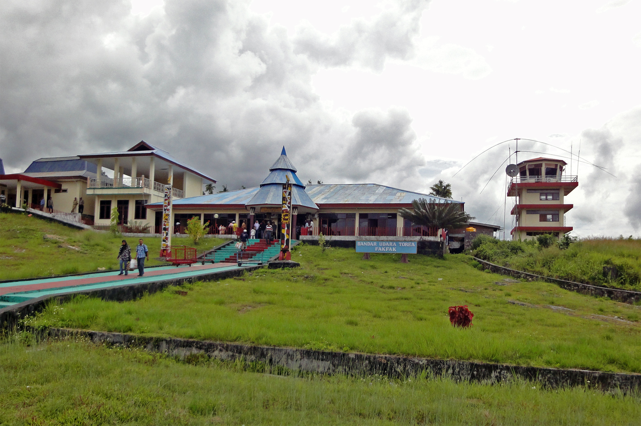
On July 20, 2026, a magnitude 4.7 earthquake occurred 173 km west of Fakfak, Indonesia. While the event was moderate in scale, it underscores the seismic activity in the region. Authorities and monitoring systems responded promptly to assess any potential impacts on local communities and infrastructure.
The submarine cable infrastructure in the vicinity demonstrated notable resilience during the event. The Palapa Ring East system, which lands at Teluk, Indonesia (322 km from the earthquake's epicenter), maintained stable connectivity throughout. This cable, a critical link in the region, sustained an average round-trip time of approximately 265ms over the past week, as confirmed by 51 separate checks. Such performance highlights the robustness of the network in an area prone to geological activity.
GeoCables continues to monitor these and other submarine cable systems in real time, conducting thousands of latency checks daily to ensure the stability and reliability of global connectivity. Our active watch remains focused on maintaining the performance and resilience of these vital communication corridors.
M4.7 earthquake · 168 km WSW of San Antonio, Chile

On July 19, 2026, a magnitude 4.7 earthquake occurred 168 km west-southwest of San Antonio, Chile. The event was localized offshore and did not result in significant population impact or disruptions to essential services. Authorities responded promptly, ensuring that monitoring and safety protocols were in place for the region.
Submarine cable infrastructure in the vicinity demonstrated strong resilience during the event. The Curie cable, which connects Valparaíso, Chile, to other key locations, maintained an average latency of ~155ms. Similarly, the South America-1 (SAm-1) system, also landing at Valparaíso, held steady at ~179ms, while the South Pacific Cable System (SPCS)/Mistral, linking Valparaíso to the broader Pacific network, sustained its typical ~63ms latency. These systems, critical for regional and international connectivity, continued to operate without interruption, underscoring their robust design and reliability.
Real-time monitoring of these and other submarine cable systems remains active. With 1854 latency checks conducted over the past 24 hours, our systems are continuously observing and ensuring the stability of these vital communication corridors.
M4.8 earthquake · 83 km S of Pelabuhanratu, Indonesia
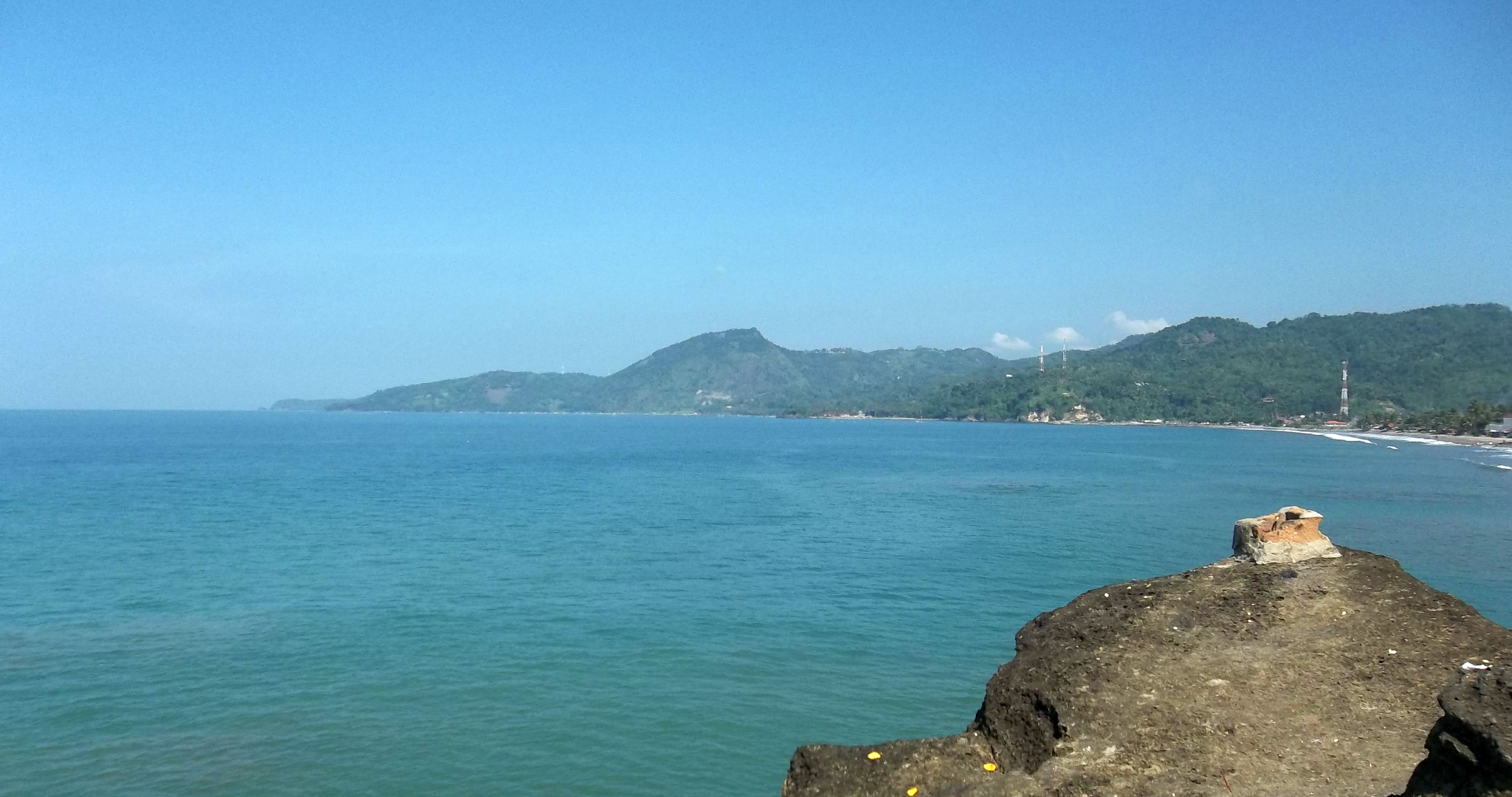
On July 19, 2026, a magnitude 4.8 earthquake occurred 83 km south of Pelabuhanratu, Indonesia. The event was localized to an offshore area and did not result in widespread disruption. Authorities monitored the situation closely, and no significant population centers were reported to have been directly affected. The event underscores the importance of robust infrastructure in regions prone to seismic activity.
The submarine cable systems in the vicinity demonstrated resilience during the event, maintaining their operational stability. For example, the Jakarta-Bangka-Batam-Singapore (B2JS) cable, which connects key hubs in Indonesia and Singapore, sustained its typical latency of approximately 39ms. Similarly, the Indonesia Global Gateway (IGG) System, which facilitates connectivity across Indonesia and beyond, held its average latency of around 137ms. These systems, along with others such as INDIGO-West and Asia Connect Cable-1, continued to carry traffic seamlessly through the event, reflecting the reliability of the infrastructure in this region.
Monitoring of these critical submarine cable corridors remains active, ensuring continuous oversight of their performance. The network's stability is supported by ongoing checks, with 1828 latency measurements conducted in the past 24 hours across 701 monitored systems globally.
M5.5 earthquake · 2 km WSW of Sicaya, Peru

On July 19, 2026, a magnitude 5.5 earthquake occurred 2 km west-southwest of Sicaya, Peru. The event was classified at a yellow alert level by authoritative sources, indicating localized impact but limited broader disruption. The affected region is home to a significant population, though the earthquake's moderate magnitude suggests manageable response efforts. Monitoring systems continue to track developments in the area.
The submarine cable infrastructure in the vicinity demonstrated strong resilience during the event. South America-1 (SAm-1), which connects various points across South America and lands at Lurin, Peru (173 km from the earthquake), held steady at an average latency of approximately 183 ms over 10 checks in the past week. Similarly, the South American Crossing (SAC) system, also landing at Lurin, maintained an average latency of 157 ms across two checks. The South Pacific Cable System (SPCS)/Mistral, which links South America to other Pacific regions, consistently measured an average of 73 ms over eight checks. These systems continued to carry traffic without interruption, underscoring their robust design and operational stability.
Our network monitoring remains active across these and other key corridors, ensuring continuous oversight and reliable performance in real time. Submarine cable systems are built to endure challenges, and ongoing checks help sustain their critical role in global connectivity.