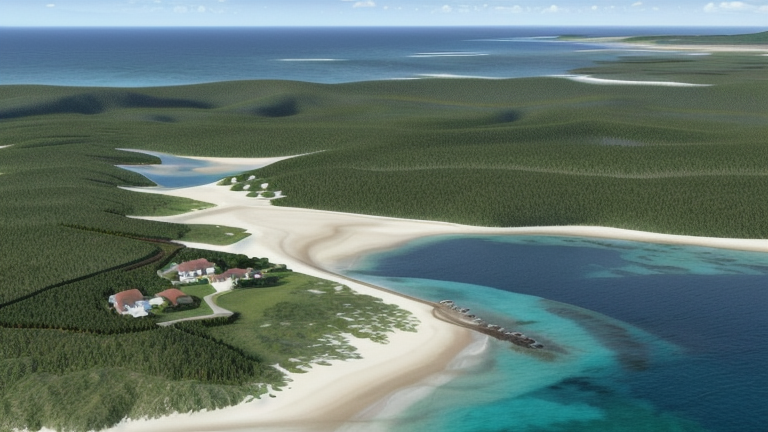
Yonaguni, Japan
Landing Point · JP Japan
Connected Cables
| Cable | Status |
|---|---|
| Okinawa Remote Islands | Active |
📡 Live Performance
RTT measurements to this landing point from 2026-04-18 through 2026-07-16 - live ICMP round-trip time via our monitoring probes. Recomputed daily. ✓ No anomalies detected in the monitored period.
Measurement sources
| Probe | Location | Samples | Avg |
|---|---|---|---|
| #1014589 own probe | Almaty KZ | 5 | 271.1 ms |
| #1014473 own probe | Minsk BY | 4 | 282.8 ms |
| #1014597 own probe | Tbilisi GE | 4 | 281.0 ms |
| #1014969 own probe | Jerusalem IL | 4 | 283.0 ms |
| #1015523 own probe | Moscow RU | 3 | 249.8 ms |
| #6410 own probe | Sao Paulo BR | 2 | 270.2 ms |
| #6427 own probe | Sydney AU | 2 | 168.9 ms |
| #6487 own probe | Singapore SG | 2 | 80.0 ms |
| #7062 own probe | Cape Town ZA | 2 | 401.1 ms |
| #60763 | control probe | 1 | 35.5 ms |
| #1002754 | control probe | 1 | 31.2 ms |
| #1015313 own probe | Sevastopol UA | 1 | 292.5 ms |
| #1016577 | control probe | 1 | 66.0 ms |
About Yonaguni, Japan
Yonaguni, Japan: Submarine Cable Landing Point
Yonaguni is a small island in the Yaeyama Islands group, situated at the westernmost point of Japan between the East China Sea and the Philippine Sea. Administered as part of Yaeyama Gun, Okinawa Prefecture, the island lies approximately 107 kilometers from Taiwan, placing it at a geographically remote yet distinctive position within Japanese territory. As a submarine cable landing point, Yonaguni connects to Japan's broader domestic cable network through one submarine cable system.
That cable is the Okinawa Remote Islands system, which links Yonaguni to other locations within Japan. With a single cable landing, Yonaguni functions as a terminus point on a domestic corridor designed to provide connectivity to outlying island communities in the Okinawa region. The Okinawa Remote Islands cable reflects Japan's ongoing investment in extending submarine connectivity to geographically dispersed island territories.
Cables Landing at Yonaguni
The Okinawa Remote Islands cable is the sole submarine cable system landing at Yonaguni. The cable has a total length of 915 kilometers and reached its ready-for-service (RFS) status in 2017, with a draft designation. All endpoints on this cable are located within Japan, confirming its role as a domestic inter-island system. The Okinawa Remote Islands cable was developed to extend telecommunications connectivity across the scattered island communities of Okinawa Prefecture, and Yonaguni, as the westernmost island of Japan, represents one of the most remote termination points on this system.
Regional Context
Within Japan's submarine cable infrastructure — which spans 51 cables across 68 landing points — Yonaguni hosts a single cable and ranks in the upper 68 percent of Japanese landing points by cable count. Major hubs such as Shima (12 cables), Maruyama (9 cables), and Chikura (8 cables) serve as high-capacity international gateways, while Yonaguni, alongside smaller landing points, plays a more focused domestic role. The nearest comparable regional landing point is Naha, Japan, which hosts four cables and serves as a more substantial node within the Okinawa island chain.
Network Role
Yonaguni functions as a single-cable domestic terminus, providing submarine-based connectivity to one of Japan's most geographically isolated communities. The Okinawa Remote Islands system, running entirely within Japanese territory, enables inter-island communications across a corridor that would otherwise depend entirely on satellite or aerial infrastructure. Yonaguni's participation in this cable system represents the extension of Japan's domestic submarine network to its westernmost inhabited land.
In the broader Japanese submarine cable graph, Yonaguni occupies a peripheral but geographically significant position. Its role as the landing point for a cable reaching Japan's outermost western island illustrates how domestic submarine systems complement the country's extensive international cable infrastructure by ensuring that remote island communities remain connected to the national network.
Other Landing Points in Japan
Landing Point
- CountryJP Japan
- Coordinates24.4572°N 122.9908°E
- Connected Cables1
See Real Cable Routes
View actual submarine cable routing from Yonaguni, Japan - with backbone nodes, distance calculations, and latency estimates
Open Calculator →