Tebingtinggi Island, Indonesia
Landing Point · ID Indonesia
Connected Cables
| Cable | Status |
|---|---|
| Palapa Ring West | Active |
Live Performance
RTT measurements to this landing point from 2026-05-12 through 2026-09-18 - live ICMP round-trip time via our monitoring probes. Recomputed daily. ✓ No anomalies detected in the monitored period.
Measurement sources
| Probe | Location | Samples | Avg |
|---|---|---|---|
| own probe | Almaty KZ | 11 | 257.0 ms |
| #6410 own probe | Sao Paulo BR | 8 | 358.8 ms |
| #6427 own probe | Sydney AU | 8 | 145.9 ms |
| #7062 own probe | Cape Town ZA | 8 | 321.5 ms |
| #6487 | control probe | 6 | 19.0 ms |
| own probe | Tbilisi GE | 6 | 305.8 ms |
| #64821 | control probe | 5 | 167.6 ms |
| #1001407 | control probe | 5 | 17.3 ms |
| own probe | Minsk BY | 4 | 206.5 ms |
| own probe | Jerusalem IL | 4 | 222.6 ms |
| own probe | Moscow RU | 4 | 207.0 ms |
| #1007335 | control probe | 3 | 16.3 ms |
| #1004064 | control probe | 2 | 15.6 ms |
| own probe | Sevastopol UA | 2 | 239.0 ms |
About Tebingtinggi Island, Indonesia
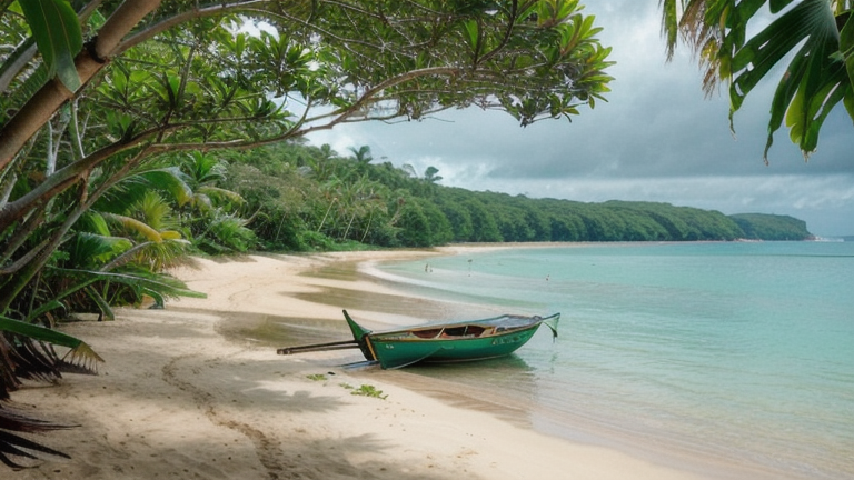
How the Internet Reaches Tebingtinggi Island, Indonesia
Tebingtinggi Island is located in Indonesia, an archipelagic nation in Southeast Asia. As an island location, international and inter-regional internet traffic cannot arrive overland - it must travel by submarine cable. In the case of Tebingtinggi Island, that connection is provided by a single submarine cable, the Palapa Ring West, which links this landing point to several other locations within Indonesia.
Because Palapa Ring West connects only Indonesian landing points, Tebingtinggi Island sits on a domestic submarine cable route rather than a direct international one. International internet traffic destined for or originating from Tebingtinggi Island ultimately transits through other nodes on the cable - most notably Batam, which connects to 15 submarine cables and serves as the dominant regional hub for onward international routing.
The Cable Serving Tebingtinggi Island
The Palapa Ring West cable is 1,980 km in length and entered service in 2018. It connects Tebingtinggi Island to five other Indonesian landing points: Batam, Bengkalis, Dumai, Karimun, and Kuala Tungkal. All of these destinations lie within the western portion of the Indonesian archipelago, meaning the cable's role is to stitch together this cluster of islands and coastal towns into a shared submarine network. From Batam, traffic can continue outward to the wider global internet via that port's extensive multi-cable connections.
Regional Context
Indonesia's submarine cable infrastructure is substantial: 40 cables land across 97 landing points throughout the country. Tebingtinggi Island is one of the smaller terminuses in this national network, served by a single domestic cable. By comparison, nearby Batam hosts 15 cables, and Jakarta hosts 7 - both serving as far larger internet exchange and transit hubs for the region. Tebingtinggi Island's placement on the Palapa Ring West puts it within the western Indonesian sub-network, geographically close to these better-connected nodes.
What This Means for Connectivity
With only one submarine cable serving Tebingtinggi Island, all external internet traffic - whether regional or international - flows exclusively through the Palapa Ring West. An outage on this cable would cut off the island's submarine connection entirely, with no redundant path available. The cable's reach extends to Batam, Bengkalis, Dumai, Karimun, and Kuala Tungkal, meaning inter-island connectivity within western Indonesia is the primary function this infrastructure serves.
For international traffic, Tebingtinggi Island depends on the onward capacity available at connected nodes, particularly Batam, to bridge into the global internet. This single-cable, domestically oriented arrangement illustrates how connectivity in Indonesia's vast archipelago is unevenly distributed - with major hubs like Batam and Jakarta aggregating international capacity while smaller islands like Tebingtinggi remain dependent on those hubs for their connection to the wider world.
What next: Tebingtinggi Island, Indonesia in the global directory of cable landing points; see surrounding routes on the interactive submarine cable map or follow live network monitoring.
Incident history
Significant incidents on cables landing here, each with its own report.
Other Landing Points in Indonesia
Landing Point
- CountryID Indonesia
- Coordinates0.9326°N 102.6670°E
- Connected Cables1
See Real Cable Routes
View actual submarine cable routing from Tebingtinggi Island, Indonesia - with backbone nodes, distance calculations, and latency estimates
Open Calculator →