Bandaneria, Indonesia
Landing Point · ID Indonesia
1
Connected Cables
ID
Country
4.52°
Latitude
129.87°
Longitude
Ctrl + Scroll to zoom
Connected Cables
| Cable | Status |
|---|---|
| SMPCS Packet-1 | Active |
Live Performance
73
measurements
14
probes
220
days monitored
190.2
ms avg RTT
0
anomalies
RTT measurements to this landing point from 2026-03-05 through 2026-10-11 - live ICMP round-trip time via our monitoring probes. Recomputed daily. ✓ No anomalies detected in the monitored period.
Measurement sources
| Probe | Location | Samples | Avg |
|---|---|---|---|
| own probe | Almaty KZ | 11 | 265.0 ms |
| #6410 own probe | Sao Paulo BR | 9 | 365.8 ms |
| #6427 own probe | Sydney AU | 9 | 186.8 ms |
| #7062 own probe | Cape Town ZA | 9 | 310.4 ms |
| #26109 | control probe | 7 | 55.8 ms |
| #51835 | control probe | 7 | 77.6 ms |
| #62242 | control probe | 7 | 56.7 ms |
| #6487 | control probe | 5 | 18.3 ms |
| #6568 own probe | Singapore SG | 2 | 52.5 ms |
| own probe | Minsk BY | 2 | 237.5 ms |
| own probe | Tbilisi GE | 2 | 268.7 ms |
| own probe | Jerusalem IL | 1 | 227.7 ms |
| own probe | Sevastopol UA | 1 | 228.2 ms |
| own probe | Moscow RU | 1 | 207.4 ms |
About Bandaneria, Indonesia
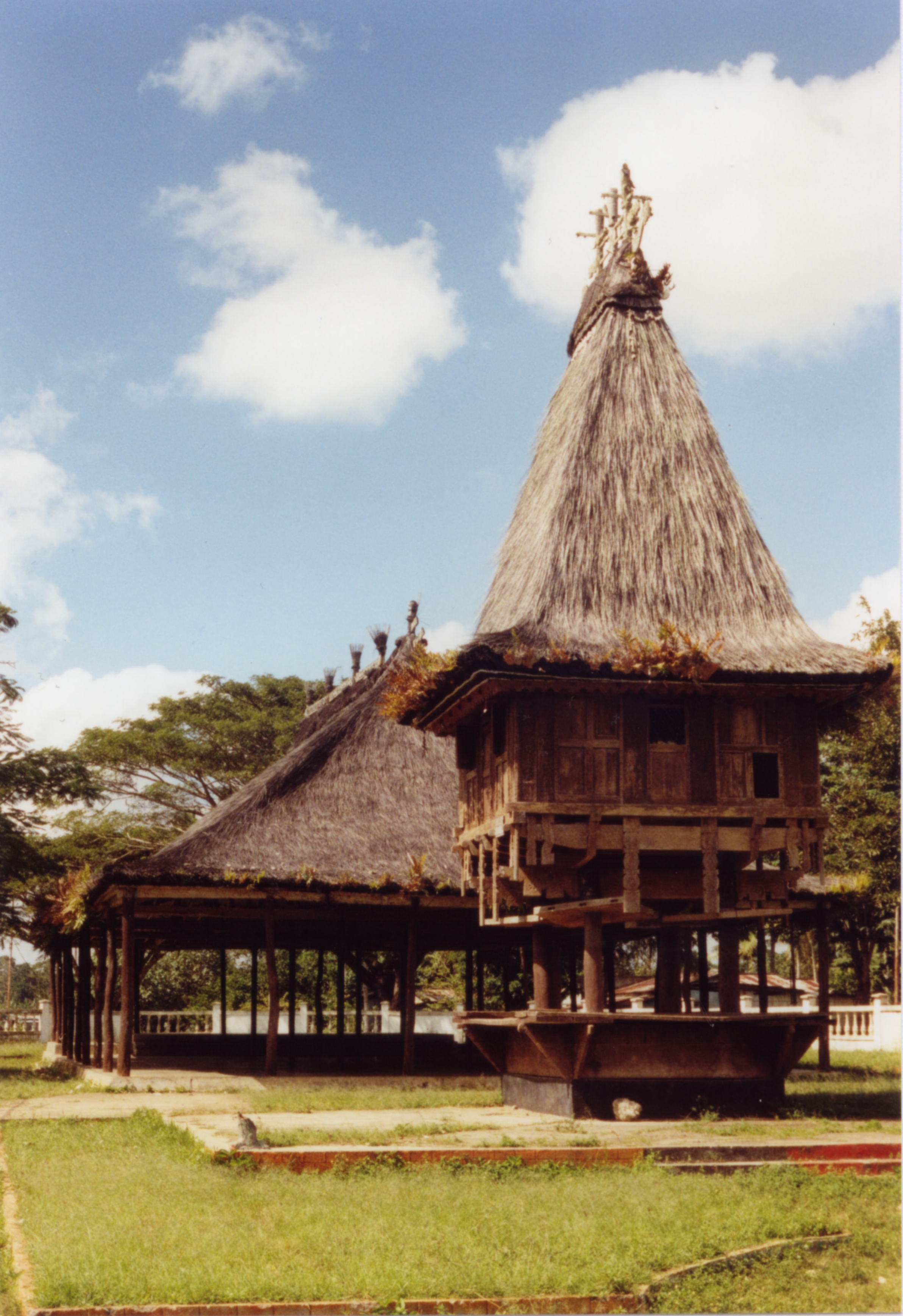
Bandaneria, Indonesia: A Quiet Link in a Vast Network
Bandaneria, a small landing point in Indonesia's sprawling submarine cable infrastructure, serves as a connection for the SMPCS Packet-1 cable. While it hosts only one cable, its role is essential in stitching together Indonesia's eastern islands, providing connectivity to regions that might otherwise remain isolated.The SMPCS Packet-1 Cable: A Domestic Lifeline
The SMPCS Packet-1 cable, spanning 3156 km and operational since 2015, is a purely domestic network linking Bandaneria to 11 other landing points across Indonesia. These include Ambon, Fakfak, Manado, and Sorong, among others. This cable does not connect internationally, but its importance lies in its ability to bridge Indonesia's archipelago, where vast distances and challenging geography make terrestrial networks impractical. Bandaneria is part of this chain, ensuring that smaller, remote locations remain connected to regional hubs like Manado and Sorong. This cable plays a key role in enabling communication and data transfer between eastern Indonesia's islands, fostering local development and integration into the national network.Regional Context: Bandaneria vs. Major Hubs
Compared to Indonesia's major landing points, Bandaneria is modest in scale. Jakarta, Batam, and Tanjung Pakis host 10, 20, and 9 cables respectively, acting as international gateways and national hubs. Manado, another landing point on the SMPCS Packet-1 cable, hosts 8 cables, making it a more significant regional center. Bandaneria, with just one cable, is not a hub but a link in the chain. It highlights the diversity of Indonesia's cable infrastructure, where some locations serve as bustling nodes while others quietly ensure connectivity for less accessible areas.Latency Insights: Measuring Bandaneria's Performance
GeoCables' unique latency measurements reveal the performance of Bandaneria's connection. Across 19 completed checks from 10 source cities, the average round-trip latency is 229 ms, with the best observed latency being an impressive 18 ms. These figures underscore the efficiency of the SMPCS Packet-1 cable in maintaining reliable communication, even in remote regions.Why Bandaneria Matters
Bandaneria may not rival Indonesia's larger landing points in terms of cable count or international reach, but its role in the SMPCS Packet-1 chain is significant. It ensures that smaller islands remain connected to the broader network, supporting local communities and industries. As Indonesia continues to expand its submarine cable infrastructure, places like Bandaneria remind us that connectivity is not just about large hubs - it is also about ensuring no region is left behind.What next: Bandaneria, Indonesia in the global directory of cable landing points; see surrounding routes on the interactive submarine cable map or follow live network monitoring.
Other Landing Points in Indonesia
ID Aeng Batu Batu, Indonesia
5.3433°S 119.3846°E
ID Agats, Indonesia
5.5356°S 138.1214°E
ID Alor, Indonesia
8.3207°S 124.4038°E
ID Ambon, Indonesia
3.6554°S 128.1907°E
ID Ancol, Indonesia
6.1290°S 106.8334°E
ID Anyer, Indonesia
6.0737°S 105.8839°E
ID Baa, Indonesia
10.7333°S 123.0353°E
ID Bali, Indonesia
8.4101°S 115.6924°E
ID Balikpapan, Indonesia
1.2654°S 116.8312°E
ID Bandar Lampung, Indonesia
5.4092°S 105.2541°E
ID Bangga, Indonesia
1.6003°S 123.5275°E
ID Banjarmasin, Indonesia
3.3280°S 114.6040°E
Landing Point
- CountryID Indonesia
- Coordinates4.5202°S 129.8721°E
- Connected Cables1
See Real Cable Routes
View actual submarine cable routing from Bandaneria, Indonesia - with backbone nodes, distance calculations, and latency estimates
Open Calculator →
Submarine cables
Land fiber
Live probes