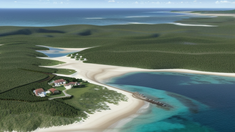
Shiraho, Japan
Landing Point · JP Japan
Connected Cables
| Cable | Status |
|---|---|
| Okinawa-Miyakojima-Ishigaki | Active |
| YUI | Active |
📡 Live Performance
RTT measurements to this landing point from 2026-05-05 through 2026-07-02 - live ICMP round-trip time via our monitoring probes. Recomputed daily. ✓ No anomalies detected in the monitored period.
Measurement sources
| Probe | Location | Samples | Avg |
|---|---|---|---|
| #1014589 own probe | Almaty KZ | 8 | 272.0 ms |
| #1014473 own probe | Minsk BY | 5 | 292.7 ms |
| #1014597 own probe | Tbilisi GE | 5 | 282.4 ms |
| #1014969 own probe | Jerusalem IL | 5 | 278.1 ms |
| #1015523 own probe | Moscow RU | 5 | 251.0 ms |
| #6410 own probe | Sao Paulo BR | 3 | 263.1 ms |
| #6427 own probe | Sydney AU | 3 | 171.4 ms |
| #6487 own probe | Singapore SG | 3 | 80.0 ms |
| #7062 own probe | Cape Town ZA | 3 | 394.4 ms |
| #1015563 own probe | Saint Petersburg RU | 1 | 257.3 ms |
About Shiraho, Japan
Shiraho, Japan: Submarine Cable Landing Point
Shiraho is a landing point located in Japan, situated within the Okinawa island chain. Two submarine cables make landfall here, connecting Shiraho to other points within the Japanese domestic cable network. Both cables serve an intra-national corridor, linking the southwestern island groups of Okinawa prefecture to one another and to other parts of Japan.
The cables landing at Shiraho support inter-island connectivity within Japan's southwestern archipelago. This positions Shiraho as a node in the regional submarine network that stitches together the Ryukyu island chain, where overland and terrestrial links are not possible between islands.
Cables Landing at Shiraho
YUI is a submarine cable measuring 720 km in length, with a ready-for-service date of 2023. This cable connects landing points entirely within Japan, forming part of the domestic submarine cable infrastructure serving the country's island territories.
Okinawa-Miyakojima-Ishigaki is a submarine cable measuring 467 km in length, with a ready-for-service date of 2004. Like YUI, this cable connects landing points entirely within Japan, serving the inter-island links between Okinawa, Miyakojima, and Ishigaki — islands in Japan's southwestern Okinawa prefecture. It is among the earlier cables to serve this corridor, having entered service nearly two decades before YUI.
Regional Context
Within Japan's submarine cable landscape, which spans 51 cables across 68 landing points, Shiraho hosts 2 cables, placing it in the top 90 percent of Japanese landing points by cable count. Compared to major Japanese hubs such as Shima (12 cables), Maruyama (9 cables), and Chikura (8 cables), Shiraho serves a more focused role. Peers such as Naha, also located in Okinawa prefecture, host 4 cables, reflecting the relatively concentrated cable activity across the southwestern island chain.
Network Role
Shiraho functions as a two-cable landing point within Japan's domestic submarine cable graph, enabling inter-island connectivity across the Okinawa island chain. The two cables — YUI and Okinawa-Miyakojima-Ishigaki — together span a combined length of 1,187 km, covering the relatively short but geographically significant distances between Japan's southwestern islands where no terrestrial link is possible. Shiraho is not a single-cable terminus but a modest multi-cable node, served by cables from different generations, with Okinawa-Miyakojima-Ishigaki representing an earlier phase of connectivity and YUI a more recent addition.
Within the broader regional submarine cable graph, Shiraho's role is specific: it anchors connectivity for one of Japan's more geographically remote island communities, ensuring that the inter-island routes of the southwestern Okinawa archipelago are served by more than a single cable system.
What next: Shiraho, Japan in the global directory of cable landing points; see surrounding routes on the interactive submarine cable map or follow live network monitoring.
Other Landing Points in Japan
FAQ
Landing Point
- CountryJP Japan
- Coordinates24.3884°N 124.2451°E
- Connected Cables2
See Real Cable Routes
View actual submarine cable routing from Shiraho, Japan - with backbone nodes, distance calculations, and latency estimates
Open Calculator →