Sapporo, Japan
Landing Point · JP Japan
Connected Cables
| Cable | Status |
|---|---|
| Hokkaido-Akita Cable | Active |
Live Performance
RTT measurements to this landing point from 2026-03-21 through 2026-09-19 - live ICMP round-trip time via our monitoring probes. Recomputed daily. ✓ No anomalies detected in the monitored period.
Measurement sources
| Probe | Location | Samples | Avg |
|---|---|---|---|
| own probe | Almaty KZ | 12 | 313.6 ms |
| #6410 own probe | Sao Paulo BR | 11 | 312.0 ms |
| #6487 | control probe | 9 | 92.6 ms |
| own probe | Moscow RU | 6 | 246.7 ms |
| #7062 own probe | Cape Town ZA | 4 | 393.6 ms |
| #1014289 | control probe | 3 | 25.6 ms |
| own probe | Tbilisi GE | 3 | 292.5 ms |
| #1015950 | control probe | 3 | 23.8 ms |
| #1015956 | control probe | 3 | 22.9 ms |
| own probe | Jerusalem IL | 2 | 295.1 ms |
| own probe | Minsk BY | 1 | 310.0 ms |
| own probe | Sevastopol UA | 1 | 290.9 ms |
| own probe | Saint Petersburg RU | 1 | 255.3 ms |
About Sapporo, Japan
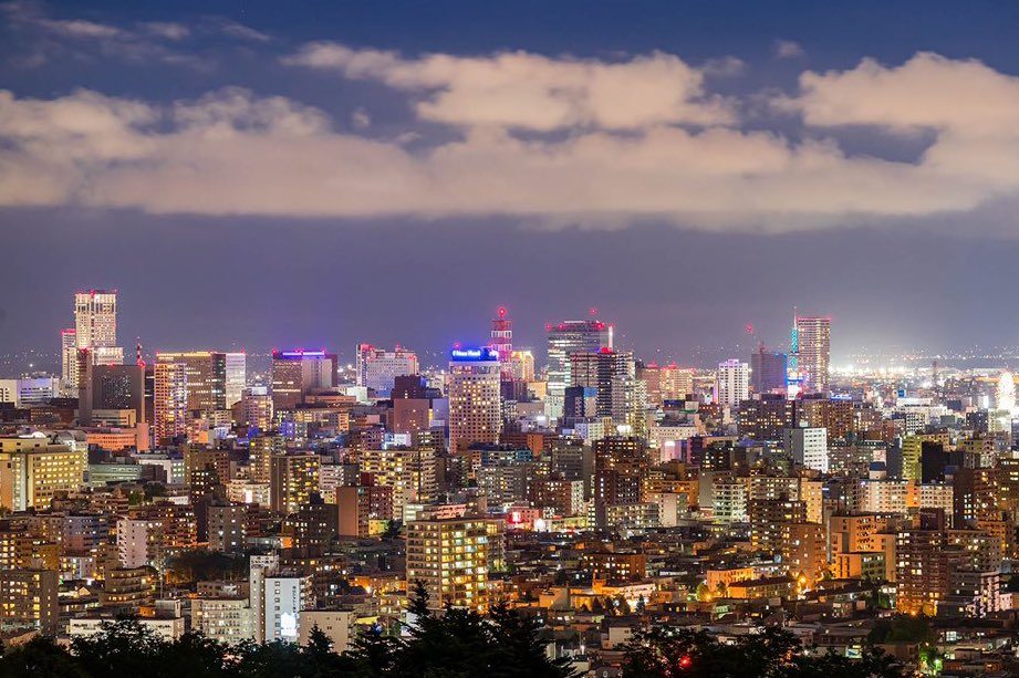
Sapporo, Japan: Submarine Cable Landing Point
Sapporo is the capital of Hokkaido Prefecture and the largest city on Japan's northernmost main island. Situated in the southwest of Hokkaido within the alluvial fan of the Toyohira River, Sapporo serves as the island's principal urban center. As a coastal region, Hokkaido's connectivity to the rest of Japan includes submarine cable infrastructure, and Sapporo functions as one of the landing points within that network.
One submarine cable currently lands at Sapporo: the Hokkaido-Akita Cable. This domestic cable connects points within Japan, linking Hokkaido to Honshu and providing an intra-national submarine corridor between the two islands. While Sapporo hosts a single cable, it represents a meaningful node in the domestic segment of Japan's submarine cable geography.
Cables Landing at Sapporo
The Hokkaido-Akita Cable is the sole submarine cable landing at Sapporo. Spanning 770 kilometres, this cable reached ready-for-service status in 2023 and is currently in draft status. As its name indicates, the cable connects Hokkaido with Akita, a prefecture on the Sea of Japan coast of Honshu. Both endpoints of the cable are located within Japan, making this an entirely domestic submarine link. The cable provides a direct undersea route between Japan's northernmost major island and the main island of Honshu, operating as an intra-Japan corridor rather than an international connection.
Regional Context
Within Japan's broader submarine cable landscape, Sapporo is among the more modestly served of the country's 68 landing points. Major hubs such as Shima, with 12 cables, Maruyama with 9, and Chikura with 8 host considerably larger concentrations of submarine cable infrastructure. Sapporo's single-cable profile places it in the same tier as numerous other domestic or regional landing points across Japan, reflecting its role as a focused domestic terminus rather than a multi-cable international gateway.
Network Role
Sapporo functions as a single-cable terminus, providing Hokkaido with a dedicated submarine link to Honshu via the Hokkaido-Akita Cable. This connection supports intra-Japan data transmission, bridging the island of Hokkaido - and by extension Sapporo as its largest city - to the national network through an undersea route rather than solely overland or overhead alternatives. The corridor served is entirely domestic, running between two points within Japan along a 770-kilometre path.
Japan as a whole hosts 51 submarine cables across 68 landing points, reflecting a dense and varied submarine cable infrastructure. Within that national network, Sapporo's role is that of a domestic relay point: a single-cable landing connecting Japan's north to its central regions. Its presence in the submarine cable graph ensures that Hokkaido retains a dedicated undersea pathway within the national network.
What next: Sapporo, Japan in the global directory of cable landing points; see surrounding routes on the interactive submarine cable map or follow live network monitoring.
Other Landing Points in Japan
Landing Point
- CountryJP Japan
- Coordinates43.0621°N 141.3544°E
- Connected Cables1
See Real Cable Routes
View actual submarine cable routing from Sapporo, Japan - with backbone nodes, distance calculations, and latency estimates
Open Calculator →