Plataria, Greece
Landing Point · GR Greece
Connected Cables
| Cable | Status |
|---|---|
| Thetis | Active |
Live Performance
RTT measurements to this landing point from 2026-04-11 through 2026-08-20 - live ICMP round-trip time via our monitoring probes. Recomputed daily. ✓ No anomalies detected in the monitored period.
Measurement sources
| Probe | Location | Samples | Avg |
|---|---|---|---|
| #6410 own probe | Sao Paulo BR | 4 | 258.3 ms |
| #6427 own probe | Sydney AU | 4 | 274.4 ms |
| own probe | Minsk BY | 4 | 55.8 ms |
| own probe | Tbilisi GE | 4 | 80.3 ms |
| own probe | Jerusalem IL | 4 | 98.9 ms |
| own probe | Odessa UA | 4 | 82.7 ms |
| own probe | Balancer IL | 4 | 101.3 ms |
| own probe | Kyiv UA | 4 | 54.9 ms |
| own probe | Almaty KZ | 3 | 107.8 ms |
| own probe | Moscow RU | 3 | 60.0 ms |
| own probe | Sevastopol UA | 1 | 86.0 ms |
About Plataria, Greece
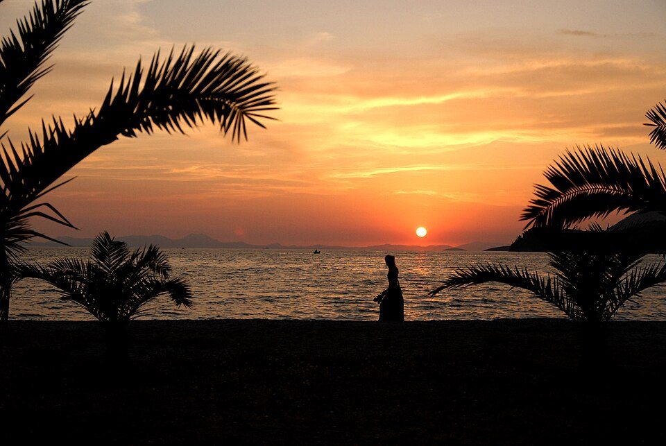
Plataria, Greece: Submarine Cable Landing Point
Plataria is a coastal village in the Thesprotia regional unit of Epirus, in northwestern Greece. Situated on the Ionian coastline, it serves as a landing point for one submarine cable, connecting it to Greece's broader undersea network infrastructure. The single cable landing here, Thetis, links Plataria to other points within Greece, making this a domestically oriented landing point rather than an international gateway.
With one cable landing, Plataria occupies a modest but defined place within Greece's submarine cable geography. Greece as a whole hosts 13 submarine cables across 30 landing points, and Plataria's single-cable presence places it among the smaller nodes in that national network. The Thetis cable, with a length of 660 kilometres, represents an intra-Greek connection, enabling domestic connectivity along what is likely an Ionian or Aegean routing corridor between Greek coastal and island communities.
Cables Landing at Plataria
Thetis is a 660-kilometre submarine cable that reached ready-for-service status in 2022, with a draft designation at that time. The cable connects landing points within Greece, with Plataria serving as one of its Greek termini. As an entirely domestic cable, Thetis supports intra-Greek connectivity rather than linking Greece to foreign countries. Its relatively short length of 660 kilometres is consistent with a regional or inter-island routing profile within Greek waters.
Regional Context
Within Greece's 30 submarine cable landing points, Plataria sits at the lower end of the scale by cable count, hosting one cable alongside peers such as Aethos, Agios Sostis, and Baxedes, each of which also hosts a single cable. By contrast, Chania leads Greece's landing points with five cables, followed by Athens with four and Tympaki with three. Plataria's standing is representative of the many single-cable nodes that collectively extend Greece's submarine network along its extensive coastline.
Network Role
Plataria functions as a single-cable terminus within the Greek domestic submarine cable graph. Its connection via the Thetis cable links it to other Greek landing points, contributing to intra-national connectivity rather than providing international routing capacity. The 660-kilometre Thetis cable is among the shorter cables in Greece's overall network, where the average cable length stands at 3,317 kilometres, underscoring Thetis's role as a regional rather than intercontinental link.
As a node in a country with 13 submarine cables distributed across 30 landing points, Plataria illustrates how coastal settlements beyond major urban centres such as Athens and Chania participate in the national submarine cable infrastructure. Its presence in the network ensures that northwestern Greece maintains a submarine cable connection, extending the reach of Greece's undersea communications system to the Ionian coastline of Epirus.
What next: Plataria, Greece in the global directory of cable landing points; see surrounding routes on the interactive submarine cable map or follow live network monitoring.
Other Landing Points in Greece
Landing Point
- CountryGR Greece
- Coordinates39.4500°N 20.2774°E
- Connected Cables1
See Real Cable Routes
View actual submarine cable routing from Plataria, Greece - with backbone nodes, distance calculations, and latency estimates
Open Calculator →