Pirgaki, Greece
Landing Point · GR Greece
Connected Cables
| Cable | Status |
|---|---|
| Thetis | Active |
Live Performance
RTT measurements to this landing point from 2026-04-19 through 2026-09-24 - live ICMP round-trip time via our monitoring probes. Recomputed daily. ✓ No anomalies detected in the monitored period.
Measurement sources
| Probe | Location | Samples | Avg |
|---|---|---|---|
| own probe | Jerusalem IL | 8 | 100.0 ms |
| #6410 own probe | Sao Paulo BR | 6 | 264.4 ms |
| #6427 own probe | Sydney AU | 6 | 300.2 ms |
| own probe | Odessa UA | 5 | 85.9 ms |
| own probe | Balancer IL | 5 | 105.5 ms |
| own probe | Minsk BY | 2 | 50.3 ms |
| own probe | Almaty KZ | 2 | 110.1 ms |
| own probe | Tbilisi GE | 2 | 82.0 ms |
| own probe | Sevastopol UA | 2 | 111.8 ms |
| own probe | Moscow RU | 1 | 60.0 ms |
About Pirgaki, Greece
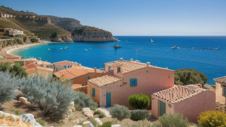
How the Internet Reaches Pirgaki, Greece
Pirgaki is a location in Greece, a country positioned at the crossroads of southeastern Europe and the eastern Mediterranean. Greece's submarine cable infrastructure connects it to the broader global internet through 13 submarine cables landing across 30 points along its extensive coastline. For Pirgaki specifically, international and regional internet traffic arrives through a single submarine cable - the Thetis cable - making this a single-cable terminus rather than a node along a multi-cable corridor.
Because Pirgaki is served exclusively by the Thetis cable, all traffic flowing between Pirgaki and the rest of the network travels along this one route. The Thetis cable connects Pirgaki to several other landing points, all located within Greece, meaning the cable functions as a domestic inter-island or intra-national link rather than an intercontinental route.
The Cable Serving Pirgaki
The Thetis cable spans 660 km and reached ready-for-service status in 2022 (draft). It connects Pirgaki to five other Greek landing points: Aethos, Agios Sostis, Baxedes, Ermoupoli, and Filizi. All of these landing points are within Greece, confirming that Thetis operates as a domestic submarine cable linking Greek communities - likely across different islands or coastal regions - rather than bridging Greece to foreign territories.
Regional Context
Greece hosts 13 submarine cables across 30 landing points, with an average cable length of 3,317 km and the first cable in service dating back to 1996. Pirgaki, served by just one cable, sits at the lighter end of Greece's connectivity spectrum. Larger hubs such as Chania (5 cables) and Athens (4 cables) carry significantly more international traffic, while Tympaki handles 3 cables. Pirgaki shares its single-cable status with nearby landing points such as Aethos and Agios Sostis - both of which are also served only by the Thetis cable - placing Pirgaki within a cluster of smaller, domestically connected Greek terminuses.
What This Means for Connectivity
With only the Thetis cable serving Pirgaki, all of the location's submarine-linked traffic flows through that single route. An outage on the Thetis cable would sever Pirgaki's direct submarine connections to the other five Greek landing points it serves. Because all destinations on the Thetis cable are within Greece, the cable primarily supports domestic inter-regional traffic - connecting Greek islands and coastal communities to one another - rather than providing a direct path to international networks.
For users in Pirgaki, access to the broader global internet ultimately depends on how traffic is routed onward through Greece's larger hubs, such as Athens or Chania, which carry the international cables linking Greece to the rest of the world. Understanding Pirgaki's position within this layered structure illustrates how smaller Greek communities rely on a combination of local submarine links and the country's major landing points to reach the global internet.
What next: Pirgaki, Greece in the global directory of cable landing points; see surrounding routes on the interactive submarine cable map or follow live network monitoring.
Other Landing Points in Greece
Landing Point
- CountryGR Greece
- Coordinates36.9773°N 25.4036°E
- Connected Cables1
See Real Cable Routes
View actual submarine cable routing from Pirgaki, Greece - with backbone nodes, distance calculations, and latency estimates
Open Calculator →