Naha, Japan
Landing Point · JP Japan
Connected Cables
| Cable | Status |
|---|---|
| Guam Okinawa Kyushu Incheon (GOKI) | Active |
| Japan Information Highway (JIH) | Active |
| Miyazaki-Okinawa Cable (MOC) | Active |
| YUI | Active |
📡 Live Performance
RTT measurements to this landing point from 2026-03-21 through 2026-07-11 - live ICMP round-trip time via our monitoring probes. Recomputed daily. ✓ No anomalies detected in the monitored period.
Measurement sources
| Probe | Location | Samples | Avg |
|---|---|---|---|
| #1014589 own probe | Almaty KZ | 6 | 328.1 ms |
| #6410 own probe | Sao Paulo BR | 3 | 279.3 ms |
| #6427 own probe | Sydney AU | 3 | 176.8 ms |
| #6487 own probe | Singapore SG | 3 | 80.5 ms |
| #7062 own probe | Cape Town ZA | 3 | 407.8 ms |
| #1014473 own probe | Minsk BY | 3 | 295.8 ms |
| #1014597 own probe | Tbilisi GE | 3 | 415.4 ms |
| #1014969 own probe | Jerusalem IL | 3 | 300.3 ms |
| #1015313 own probe | Sevastopol UA | 1 | 297.4 ms |
| #1015523 own probe | Moscow RU | 1 | 248.6 ms |
About Naha, Japan
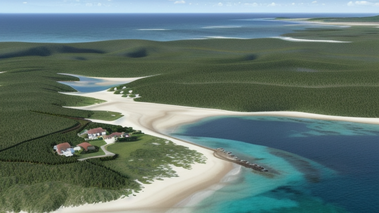
Naha, Japan is a submarine cable landing point in Japan (coordinates 26.2124°, 127.6806°). It serves 4 submarine cable systems, making it a multi-cable landing site in Japan's international connectivity infrastructure.
Naha is the capital city of Okinawa Prefecture, the southernmost prefecture of Japan. As of 1 June 2019, the city has an estimated population of 317,405 and a population density of 7,939 people per km2. The total area is 39.98 km2 (15.44 sq mi). Wikipedia
Connected submarine cables
| Cable | RFS | Length | Owners |
|---|---|---|---|
| YUI | 2023 | 720 km | Okinawa Cellular Telephone Company |
| Guam Okinawa Kyushu Incheon (GOKI) | 2013 | 4,244 km | AT&T |
| Japan Information Highway (JIH) | 1999 | 5,150 km | KDDI |
| Miyazaki-Okinawa Cable (MOC) | 1997 | -1 km | KDDI |
Operators landing at Naha, Japan
Cables landing at Naha, Japan are operated by 3 distinct consortium partners and carriers, including AT&T, KDDI, Okinawa Cellular Telephone Company. Each cable is typically jointly owned by a consortium of tier-one carriers and hyperscale operators who share construction costs and capacity; the operator mix reflects both regional incumbents and global players with interest in the routes served by this landing point.
Connectivity profile
From Naha, Japan, international traffic can reach 2 countries through 4 cable systems. Destinations include Guam, Japan.
Monitoring status
No monitoring incidents were recorded on cables serving Naha, Japan in the past 90 days — all connected systems remained within normal latency thresholds. Our monitoring network continuously samples latency from external probes to targets reachable via these cables.
About the cables
- YUI (2023) — YUI is a domestic submarine cable network within Japan, connecting 4 coastal and island locations including Hirara, Naha, Nakadomari, Shiraho. The system provides essential telecommunications infrastructure for communities that would otherwise depend entirely on satellite or microwave links. Read more →
- Guam Okinawa Kyushu Incheon (GOKI) (2013) — Guam Okinawa Kyushu Incheon (GOKI) is a point-to-point submarine cable linking Japan and Guam. Landing at Kitakyushu, Naha, Tumon Bay, it provides a direct fiber-optic path between the two countries, serving as both a primary data route and a redundancy option for neighboring cable systems. Read more →
- Japan Information Highway (JIH) (1999) — Japan Information Highway (JIH) is a domestic submarine cable network within Japan, connecting 9 coastal and island locations including Akita, Chikura, Ibaraki, Ishikari, Miyazaki, and 4 more. The system provides essential telecommunications infrastructure for communities that would otherwise depend entirely on satellite or microwave links. Read more →
- Miyazaki-Okinawa Cable (MOC) (1997) — Miyazaki-Okinawa Cable (MOC) is a submarine cable system operating within Japan, with landing points at Miyazaki, Naha. It provides dedicated submarine fiber capacity between these locations, supporting telecommunications, internet access, and enterprise connectivity. Read more →
Other Landing Points in Japan
FAQ
Landing Point
- CountryJP Japan
- Coordinates26.2124°N 127.6806°E
- Connected Cables4
See Real Cable Routes
View actual submarine cable routing from Naha, Japan - with backbone nodes, distance calculations, and latency estimates
Open Calculator →