Maruyama, Japan
Landing Point · JP Japan
Connected Cables
| Cable | Status |
|---|---|
| Asia Direct Cable (ADC) | Active |
| Asia Pacific Gateway (APG) | Active |
| Asia Submarine-cable Express (ASE)/Cahaya Malaysia | Active |
| Australia-Japan Cable (AJC) | Active |
| Candle | Planned |
| E2A | Planned |
| JUPITER | Active |
| New Cross Pacific (NCP) Cable System | Active |
| Trans-Pacific Express (TPE) Cable System | Active |
📡 Live Performance
RTT measurements to this landing point from 2026-03-02 through 2026-07-18 - live ICMP round-trip time via our monitoring probes. Recomputed daily.
Measurement sources
| Probe | Location | Samples | Avg |
|---|---|---|---|
| #1033 | control probe | 300 | 104.2 ms |
| #4429 | control probe | 196 | 110.4 ms |
| #1318 | control probe | 46 | 152.8 ms |
| #1014589 own probe | Almaty KZ | 37 | 335.5 ms |
| #6487 own probe | Singapore SG | 31 | 83.9 ms |
| #6410 own probe | Sao Paulo BR | 30 | 282.1 ms |
| #1014473 own probe | Minsk BY | 6 | 337.6 ms |
| #1014597 own probe | Tbilisi GE | 6 | 305.8 ms |
| #1014969 own probe | Jerusalem IL | 6 | 313.4 ms |
| #1015523 own probe | Moscow RU | 2 | 270.9 ms |
| #6477 | control probe | 1 | 69.7 ms |
| #7062 own probe | Cape Town ZA | 1 | 400.0 ms |
About Maruyama, Japan
Position in regional infrastructure
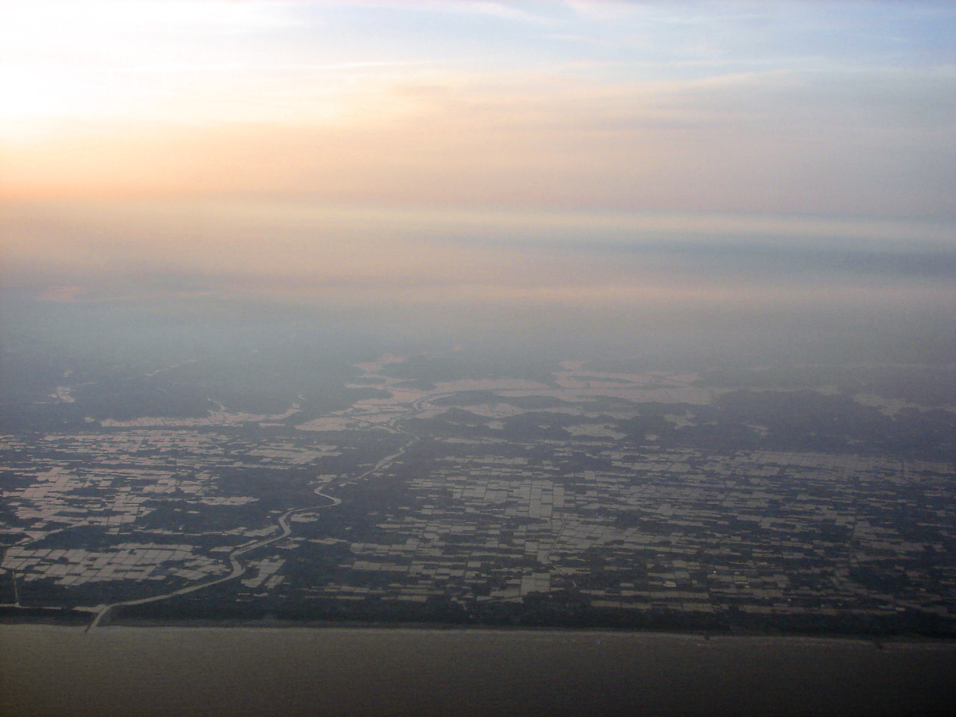
Maruyama is a coastal cable landing point on the Pacific coast of the Bōsō Peninsula in Chiba Prefecture, Japan, at coordinates 35.005433°N, 139.975467°E. The town sits south-southeast of Tokyo on the open Pacific coast, and serves as one of Japan's principal trans-Pacific submarine cable landings — the Japanese counterpart to landings on the US west coast that anchor the bulk of US-Japan-Asia internet traffic. Multiple major cable systems land at Maruyama, making it one of the most heavily-used Pacific cable landing points in Asia.
Maruyama's role is structurally similar to Shima (in Mie Prefecture, west of Tokyo) and Chikura (also Bōsō Peninsula): these landings collectively distribute Japan's trans-Pacific cable infrastructure across multiple physically separated sites, providing landing-end diversity that protects against single-point earthquake or anchor-strike risk. In-service cables landing at Maruyama include systems reaching the US west coast directly, the Korean and Taiwanese cable hubs, the Philippines-Singapore-Southeast Asia mesh, and Guam as a Pacific transit point.
Submarine cables landing in Maruyama
JUPITER is a 14,557 km submarine cable in service since 2020, owned by Amazon Web Services, Meta, NTT, PCCW, PLDT, and Softbank. From Maruyama it reaches Shima (Japan), Daet (Philippines), Cloverdale (Oregon, USA), and Hermosa Beach (California, USA) — a hyperscaler-dominated trans-Pacific path with two US west coast landings.
Trans-Pacific Express (TPE) Cable System is a 17,968 km submarine cable in service since 2008, owned by AT&T, China Telecom, China Unicom, Chunghwa Telecom, KT, NTT, and Verizon. From Maruyama it reaches Chongming (China), Qingdao (China), Geoje (South Korea), Tanshui (Taiwan), and Nedonna Beach (Oregon, USA).
New Cross Pacific (NCP) Cable System is a 13,618 km submarine cable in service since 2018, owned by China Mobile, China Telecom, China Unicom, Chunghwa Telecom, KT, Microsoft, and Softbank. From Maruyama it reaches Chongming, Lingang, and Nanhui (China), Busan (South Korea), Toucheng (Taiwan), and Pacific City (Oregon, USA).
Asia Pacific Gateway (APG) is a 10,400 km submarine cable in service since 2016, owned by a Chinese-led consortium including Meta, NTT, KT, and others. From Maruyama it reaches Chongming and Nanhui (China), Tseung Kwan O (Hong Kong China), Shima (Japan), Cherating (Malaysia), Changi South (Singapore), Busan (South Korea), Toucheng (Taiwan), Songkhla (Thailand), and Danang (Vietnam).
Asia Direct Cable (ADC) is a 9,988 km submarine cable in service since 2024, owned by China Telecom, China Unicom, National Telecom, PLDT, Singtel, Softbank, Tata Communications, and Viettel. From Maruyama it reaches Chung Hom Kok (China), Shantou (China), Batangas (Philippines), Tuas (Singapore), Sriracha (Thailand), and Quy Nhon (Vietnam).
Australia-Japan Cable (AJC) is a 12,700 km submarine cable in service since 2001, owned by an AT&T-led consortium. From Maruyama it reaches Tanguisson Point and Tumon Bay (Guam), Shima (Japan), and Sydney (Oxford Falls and Paddington, Australia).
Asia Submarine-cable Express (ASE) / Cahaya Malaysia is an 8,148 km submarine cable in service since 2012, owned by NTT, PLDT, StarHub, and Telekom Malaysia. From Maruyama it reaches Tseung Kwan O (Hong Kong China), Komesu (Japan), Mersing (Malaysia), Daet (Philippines), and Changi South (Singapore).
Several upcoming systems are planned for Maruyama landing: E2A (Chunghwa Telecom + SK Broadband + Softbank + Verizon, RFS 2029, to Korea, Taiwan, US west coast) and Candle (Meta-led, RFS 2028, to Indonesia, Malaysia, Philippines, Singapore, Taiwan).
Connection topology and redundancy
Maruyama's cable portfolio provides extensive trans-Pacific redundancy: TPE, NCP, JUPITER, and AJC all terminate on the US west coast through different operator consortia and different US landings (Oregon Cloverdale/Pacific City/Nedonna Beach, California Hermosa Beach, Guam-Sydney via AJC). On the Asia side, multiple cables (APG, ADC, ASE/Cahaya Malaysia) provide diverse paths into the Hong Kong-Singapore-Malaysia mesh.
The operator mix at Maruyama is also diverse: Japanese operators (NTT, Softbank), US hyperscalers (AWS, Meta, Microsoft), Chinese state-aligned operators (China Telecom, China Mobile, China Unicom), Korean operators (KT, SK Broadband), Taiwan (Chunghwa Telecom), and others. This breadth means that operator-specific service disruptions at Maruyama do not cascade across all cables simultaneously, providing strong functional redundancy at the landing.
Geography and coordinates
The Maruyama submarine cable landing sits at 35.005433°N, 139.975467°E (35°00'20"N, 139°58'32"E), on the Pacific coast of the Bōsō Peninsula in Chiba Prefecture, Japan. The location's open Pacific exposure provides direct trans-oceanic cable corridors without intervening island shadowing, while the sheltered shore-end conditions allow standard armored beach manhole construction.
Frequently asked questions
What submarine cables land at Maruyama, Japan?
Maruyama hosts numerous major trans-Pacific cables: JUPITER (RFS 2020), TPE (RFS 2008), NCP (RFS 2018), APG (RFS 2016), ADC (RFS 2024), AJC (RFS 2001), ASE/Cahaya Malaysia (RFS 2012), with planned future systems E2A (RFS 2029) and Candle (RFS 2028).
What are the coordinates of the Maruyama cable landing?
The Maruyama cable landing is at 35.005433°N, 139.975467°E (35°00'20"N, 139°58'32"E), on the Pacific coast of the Bōsō Peninsula in Chiba Prefecture, southern Honshu, Japan.
Which countries connect to Japan through Maruyama?
Through Maruyama's cables, Japan reaches the United States (US west coast via JUPITER, TPE, NCP, AJC; Hawaii via PPC-1 connected via Sydney/Guam), China (via TPE, NCP, APG, ADC, ASE/Cahaya), South Korea (via TPE, NCP, APG, ADC), Taiwan (via TPE, NCP, APG, ADC), the Philippines (via JUPITER, ADC, APG, ASE/Cahaya), Singapore (via APG, ADC, ASE/Cahaya), Vietnam (via APG, ADC), Malaysia (via APG, ASE/Cahaya), Thailand (via APG, ADC), Hong Kong (via APG, ASE/Cahaya), Australia (via AJC), and Guam (via AJC).
When was the first submarine cable laid at Maruyama?
The earliest in-service Maruyama landing in the GeoCables dataset is the Australia-Japan Cable (AJC), in service since 2001. TPE followed in 2008 and subsequent cables progressively expanded Maruyama into Japan's principal trans-Pacific cable hub.
Who operates the cables landing at Maruyama?
Maruyama's cables are operated by an exceptionally diverse mix: NTT and Softbank (Japanese carriers), AWS, Meta, and Microsoft (US hyperscalers), AT&T and Verizon (US carriers), China Mobile, China Telecom, and China Unicom (Chinese state-aligned operators), KT and SK Broadband (Korean), Chunghwa Telecom (Taiwan), Singtel and StarHub (Singapore), Telekom Malaysia, PLDT (Philippines), and others.
What next: Maruyama, Japan in the global directory of cable landing points; see surrounding routes on the interactive submarine cable map or follow live network monitoring.
Other Landing Points in Japan
FAQ
Landing Point
- CountryJP Japan
- Coordinates35.0054°N 139.9755°E
- Connected Cables9
See Real Cable Routes
View actual submarine cable routing from Maruyama, Japan - with backbone nodes, distance calculations, and latency estimates
Open Calculator →