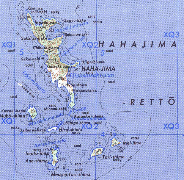
Hahajima, Japan
Landing Point · JP Japan
Connected Cables
| Cable | Status |
|---|---|
| Ogasawara Cable Network | Active |
📡 Live Performance
RTT measurements to this landing point from 2026-05-03 through 2026-07-09 - live ICMP round-trip time via our monitoring probes. Recomputed daily. ✓ No anomalies detected in the monitored period.
Measurement sources
| Probe | Location | Samples | Avg |
|---|---|---|---|
| #1014589 own probe | Almaty KZ | 3 | 271.7 ms |
| #6410 own probe | Sao Paulo BR | 2 | 270.6 ms |
| #6427 own probe | Sydney AU | 2 | 172.8 ms |
| #6487 own probe | Singapore SG | 2 | 79.7 ms |
| #7062 own probe | Cape Town ZA | 2 | 393.3 ms |
| #1014473 own probe | Minsk BY | 1 | 295.2 ms |
| #1014597 own probe | Tbilisi GE | 1 | 278.1 ms |
| #1014969 own probe | Jerusalem IL | 1 | 277.8 ms |
| #1015313 own probe | Sevastopol UA | 1 | 291.5 ms |
| #1015523 own probe | Moscow RU | 1 | 250.6 ms |
About Hahajima, Japan
Hahajima, Japan: Submarine Cable Landing Point
Hahajima is a small island in the Ogasawara Islands, located approximately 1,000 km south of Tokyo in the western Pacific Ocean. As part of a remote island group situated well south-southeast of the Japanese Home Islands, it represents one of Japan's more isolated landing points within the national submarine cable network. One submarine cable lands at Hahajima, connecting it to the broader Japanese telecommunications infrastructure.
The single cable serving Hahajima is the Ogasawara Cable Network, which operates entirely within Japan and provides the island with its submarine connectivity. Given Hahajima's remote location in the Ogasawara archipelago, this cable plays the fundamental role of linking the island to the rest of the country rather than serving any intercontinental or inter-regional corridor.
Cables Landing at Hahajima
The Ogasawara Cable Network is the sole submarine cable landing at Hahajima. With a length of 1,038 km and a Ready for Service (RFS) date of 2011, this cable connects Hahajima to other points within Japan. All endpoints on this cable are located in Japan, making it a domestic intra-national link rather than an international route. The cable was designated with draft status at the time of its RFS.
Regional Context
Within Japan's submarine cable landscape — which encompasses 51 submarine cables across 68 landing points — Hahajima hosts a single cable, placing it among the more lightly connected landing points in the country. Compared to major Japanese landing hubs such as Shima (12 cables), Maruyama (9 cables), and Chikura (8 cables), Hahajima serves a more specialised, island-connectivity function. Even relative to other island-focused landing points such as Hachijo and Naha, which each host four cables, Hahajima's single-cable profile reflects its smaller population and its position as a terminus rather than a transit point.
Network Role
Hahajima functions as a single-cable terminus, with the Ogasawara Cable Network providing its only submarine link to the rest of Japan. This configuration is consistent with its role as a remote island endpoint: the cable exists to extend connectivity to a geographically isolated community rather than to route traffic between larger network nodes or international destinations. There is no multi-cable redundancy at this landing point, and no international routes pass through it.
Within Japan's overall submarine cable graph, Hahajima represents the outermost reach of domestic connectivity into the Ogasawara Islands, illustrating how submarine cable infrastructure extends even to very small and remote island communities situated far from the Japanese Home Islands.
Other Landing Points in Japan
Landing Point
- CountryJP Japan
- Coordinates26.6509°N 142.1599°E
- Connected Cables1
See Real Cable Routes
View actual submarine cable routing from Hahajima, Japan - with backbone nodes, distance calculations, and latency estimates
Open Calculator →