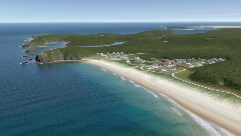
Chateaubelair, Saint Vincent and the Grenadines
Point d'atterrissage · VC Saint Vincent and the Grenadines
Câbles connectés
| Câble | Statut |
|---|---|
| Caribbean Regional Communications Infrastructure Program (CARCIP) | Actif |
📡 Performance en direct
Mesures RTT vers ce point du 2026-07-10 au 2026-07-12 - RTT ICMP en direct via nos sondes de mesure. Recalculé quotidiennement. ✓ Aucune anomalie détectée sur la période.
Sources de mesure
| Sonde | Emplacement | Mesures | Moy. |
|---|---|---|---|
| #6410 sonde propre | Sao Paulo BR | 2 | 172.7 ms |
| #6427 sonde propre | Sydney AU | 2 | 229.6 ms |
| #6487 sonde propre | Singapore SG | 2 | 232.3 ms |
| #1014473 sonde propre | Minsk BY | 2 | 193.3 ms |
| #1015563 sonde propre | Saint Petersburg RU | 2 | 195.9 ms |
| #1016031 sonde propre | Kyiv UA | 1 | 205.4 ms |
À propos Chateaubelair, Saint Vincent and the Grenadines
Chateaubelair : Point d'atterrissement du câble sous-marin
Chateaubelair est une ville située sur la côte ouest leeward de Saint-Vincent, l'île principale des Saintes-et-Grenadines. Située dans le nord de l'île, juste au sud du volcan Soufrière, elle est la plus grande communauté de la circonscription Nord-Leeward et l'une des plus importantes villes de l'île. Sa position côtière ouest la place sur une bande de rivage qui relie l'île à un réseau plus large de câbles sous-marins de l'Est-Caribéen.
Un seul câble sous-marin atterrit à Chateaubelair : le Caribbean Regional Communications Infrastructure Program, communément connu sous le nom de CARCIP. Ce câble relie Saint-Vincent-et-les-Grenadines et la Grenade, formant un lien inter-îles direct entre ces deux nations caribéennes du sud. Chateaubelair sert donc de nœud dans une voie qui relie deux nations d'outre-mer caribiennes voisines.
Câbles Atterrissant à Chateaubelair
Le Caribbean Regional Communications Infrastructure Program (CARCIP) est un câble sous-marin de 225 kilomètres qui a atteint le statut de prêt à l'emploi en 2019, avec son état d'implantation noté comme projet. Le câble relie Saint-Vincent-et-les-Grenadines et la Grenade, formant un lien inter-îles direct entre ces deux nations caribéennes du sud. Chateaubelair sert de point d'atterrissement pour ce système en tant que ville de Saint-Vincent-et-les-Grenadines.
Contexte régional
Dans les Saintes-et-Grenadines, l'infrastructure du câble sous-marin est répartie sur sept points d'atterrissage. Kingstown, la capitale, accueille trois câbles et représente le point le plus connecté du pays. Chateaubelair, ainsi que Bequia, Canouan, Mustique, Owia et Union Island, chacun accueillent un seul câble, plaçant Chateaubelair parmi les points d'atterrissage à single-cable qui étendent la connectivité sur l'île principale et la chaîne des Grenadines. Bien que Kingstown serve de hub principal du câble sous-marin du pays, Chateaubelair fournit un point d'accès distinct sur la côte Nord-Leeward de Saint-Vincent.
Rôle du réseau
Chateaubelair fonctionne comme un terminus à single-cable, ancrant le système CARCIP sur Saint-Vincent et reliant l'île vers le nord-ouest en direction de la Grenade sur une distance d'environ 225 kilomètres de la mer Est-Caribéenne. Ce point d'atterrissage permet un lien inter-îles direct qui complète l'infrastructure du câble sous-marin centrée à Kingstown, étendant la portée des câbles sous-marins jusqu'à la côte Nord-Leeward de Saint-Vincent plutôt que de concentrer toute la connectivité dans la capitale.
Dans le graphique régional des câbles sous-marins pour les Saintes-et-Grenadines, Chateaubelair représente l'un de plusieurs points d'atterrissage distribués qui ensemble offrent au pays une redondance géographique et un accès côtié multi-point à la connectivité internationale, assurant que la côte Nord-Leeward de Saint-Vincent ait sa propre connexion directe par câble avec une nation caribéenne voisine.
Et ensuite : Chateaubelair, Saint Vincent and the Grenadines dans l'annuaire mondial des points d'atterrissage; visualisez les routes environnantes sur la carte interactive des câbles ou suivez la surveillance réseau en direct.
Autres points d'atterrissage en Saint Vincent and the Grenadines
Point d'atterrissage
- PaysVC Saint Vincent and the Grenadines
- Coordonnées13.2909°N 61.2408°W
- Câbles connectés1
Voir les routes réelles
Visualisez le routage réel des câbles sous-marins depuis Chateaubelair, Saint Vincent and the Grenadines - avec nœuds, distances et latence
Ouvrir le calculateur →