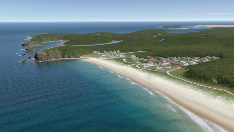
Owia, Saint Vincent and the Grenadines
Landing Point · VC Saint Vincent and the Grenadines
Connected Cables
| Cable | Status |
|---|---|
| Caribbean Regional Communications Infrastructure Program (CARCIP) | Active |
📡 Live Performance
RTT measurements to this landing point from 2026-06-29 through 2026-07-12 - live ICMP round-trip time via our monitoring probes. Recomputed daily. ✓ No anomalies detected in the monitored period.
Measurement sources
| Probe | Location | Samples | Avg |
|---|---|---|---|
| #7049 | control probe | 23 | 99.3 ms |
| #6393 | control probe | 2 | 114.2 ms |
About Owia, Saint Vincent and the Grenadines
Owia, Saint Vincent and the Grenadines: Submarine Cable Landing Point
Owia is a town situated in the northeast of the main island of Saint Vincent, close to the nation's northernmost point, Porter Point. As a coastal settlement at the northern extremity of the island, it serves as a submarine cable landing point within the broader network of Saint Vincent and the Grenadines. One submarine cable lands at Owia, connecting the town to the regional communications infrastructure of the Eastern Caribbean.
The cable landing at Owia is the Caribbean Regional Communications Infrastructure Program (CARCIP), a relatively short regional system that links Saint Vincent and the Grenadines with Grenada. This cable establishes a direct inter-island connectivity corridor between two Eastern Caribbean nations, extending the reach of submarine cable infrastructure to a community on the northern coast of Saint Vincent.
Cables Landing at Owia
The Caribbean Regional Communications Infrastructure Program (CARCIP) is a regional submarine cable with a length of 225 km, ready for service in 2019. The system connects Grenada and Saint Vincent and the Grenadines, with the landing at Owia serving as one of the cable's termination points on the main island of Saint Vincent. The cable is noted as having been at draft status at the time of record.
Regional Context
Saint Vincent and the Grenadines has seven submarine cable landing points in total, with Kingstown being the most connected, hosting three cables. Owia shares its single-cable status with several other landing points across the country, including Bequia, Canouan, Chateaubelair, Mustique, and Union Island. Within this national landscape, Owia represents one of the northernmost points at which submarine cable infrastructure makes landfall, complementing the wider distribution of connectivity across the island chain.
Network Role
Owia functions as a single-cable terminus, serving as a landing point for the CARCIP system and its inter-island link between Saint Vincent and the Grenadines and Grenada. Rather than a multi-cable hub, Owia's role is that of a direct endpoint, extending submarine cable access to the northeastern part of the main island of Saint Vincent. The CARCIP cable's 225 km length reflects the relatively contained geographic scope of the corridor it serves, connecting two neighbouring Eastern Caribbean island nations.
The presence of a cable landing at Owia, a town near the northernmost point of Saint Vincent, illustrates how Saint Vincent and the Grenadines has distributed its submarine cable infrastructure across multiple locations rather than concentrating it entirely at the capital. Within the regional submarine cable graph, Owia's landing point contributes a specific node on the CARCIP network, linking the northeastern coast of Saint Vincent into the same system that also reaches Grenada.
What next: Owia, Saint Vincent and the Grenadines in the global directory of cable landing points; see surrounding routes on the interactive submarine cable map or follow live network monitoring.
Other Landing Points in Saint Vincent and the Grenadines
Landing Point
- CountryVC Saint Vincent and the Grenadines
- Coordinates13.3731°N 61.1428°W
- Connected Cables1
See Real Cable Routes
View actual submarine cable routing from Owia, Saint Vincent and the Grenadines - with backbone nodes, distance calculations, and latency estimates
Open Calculator →