Toco, Trinidad and Tobago
Landing Point · TT Trinidad and Tobago
Connected Cables
| Cable | Status |
|---|---|
| TT1 | Active |
Live Performance
RTT measurements to this landing point from 2026-04-29 through 2026-10-13 - live ICMP round-trip time via our monitoring probes. Recomputed daily. ✓ No anomalies detected in the monitored period.
Measurement sources
| Probe | Location | Samples | Avg |
|---|---|---|---|
| own probe | Minsk BY | 8 | 139.6 ms |
| #6410 own probe | Sao Paulo BR | 6 | 129.6 ms |
| #6427 own probe | Sydney AU | 6 | 212.3 ms |
| #6487 | control probe | 5 | 236.6 ms |
| #18923 | control probe | 3 | 89.7 ms |
| own probe | Saint Petersburg RU | 3 | 131.4 ms |
| #6393 | control probe | 2 | 48.6 ms |
| #7049 | control probe | 2 | 66.6 ms |
| own probe | Almaty KZ | 2 | 180.2 ms |
| own probe | Tbilisi GE | 2 | 140.0 ms |
| own probe | Jerusalem IL | 2 | 145.9 ms |
| own probe | Sevastopol UA | 2 | 161.2 ms |
| own probe | Moscow RU | 2 | 124.7 ms |
| own probe | Kyiv UA | 2 | 127.3 ms |
| #6568 own probe | Singapore SG | 1 | 267.6 ms |
About Toco, Trinidad and Tobago
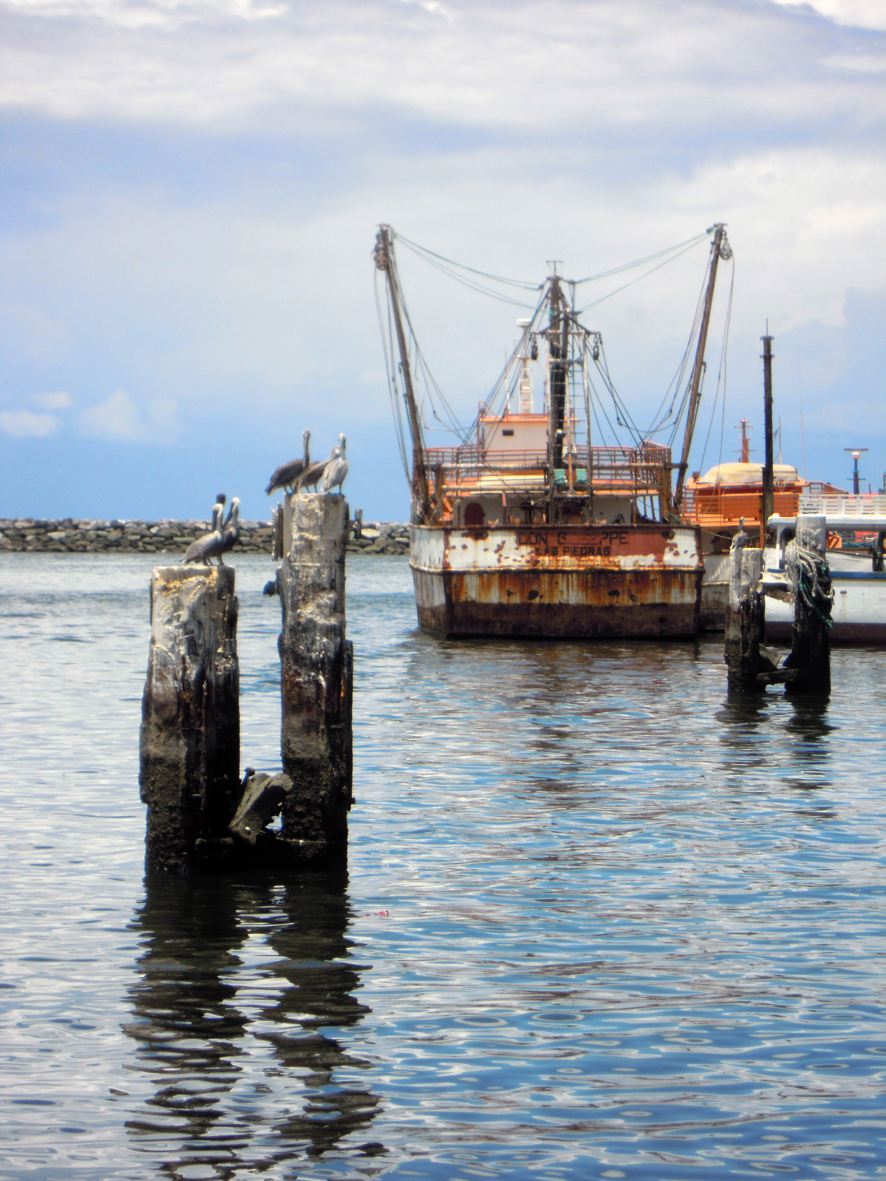
Toco, Trinidad and Tobago: Submarine Cable Landing Point
Toco is the most northeasterly village on the island of Trinidad, in the twin-island nation of Trinidad and Tobago. Positioned at the northeastern tip of Trinidad, it is the closest point on that island to its sister island of Tobago, which lies approximately 35 kilometres to the northeast. This geographic position makes Toco a natural anchor for submarine cable infrastructure connecting the two islands.
One submarine cable lands at Toco. That cable, TT1, is a domestic link connecting points entirely within Trinidad and Tobago, reflecting Toco's role as a node in the inter-island connectivity of the national cable network rather than as a gateway to international corridors.
Cables Landing at Toco
TT1 is a submarine cable measuring 44 kilometres in length, with a ready-for-service year of 2015. Both of its endpoints fall within Trinidad and Tobago, establishing TT1 as a domestic inter-island cable. Given Toco's position as the nearest point on Trinidad to Tobago, TT1 almost certainly spans the short water crossing between the two islands, though the specific terminal points are defined only within national territory. At 44 kilometres, it is a comparatively short cable, consistent with an inter-island link of this geographic scale.
Regional Context
Within Trinidad and Tobago, Toco shares the national submarine cable landscape with three other landing points: Chaguaramas, which hosts five cables and represents the country's most connected landing site; and Pigeon Point and Rockly Bay, each of which, like Toco, lands a single cable. Toco's single-cable status places it alongside Pigeon Point and Rockly Bay as a more focused landing point, rather than a multi-cable hub on the scale of Chaguaramas.
Network Role
Toco functions as a single-cable terminus serving the domestic inter-island corridor within Trinidad and Tobago. The TT1 cable, at 44 kilometres, connects points within the national territory, making Toco a contributor to intra-national rather than international connectivity. Its role is therefore distinct from internationally oriented landing points: it supports the direct submarine link between the two main islands of the nation rather than bridging Trinidad and Tobago to the wider regional or global cable network.
Within the submarine cable geography of Trinidad and Tobago, Toco's position at the northeastern extremity of Trinidad illustrates how physical geography shapes cable routing decisions, with the landing point's proximity to Tobago making it a logical terminus for the shortest submarine path between the country's two islands.
What next: Toco, Trinidad and Tobago in the global directory of cable landing points; see surrounding routes on the interactive submarine cable map or follow live network monitoring.
Other Landing Points in Trinidad and Tobago
Landing Point
- CountryTT Trinidad and Tobago
- Coordinates10.8311°N 60.9497°W
- Connected Cables1
See Real Cable Routes
View actual submarine cable routing from Toco, Trinidad and Tobago - with backbone nodes, distance calculations, and latency estimates
Open Calculator →