Rockly Bay, Trinidad and Tobago
Landing Point · TT Trinidad and Tobago
Connected Cables
| Cable | Status |
|---|---|
| Deep Blue One | Active |
Live Performance
RTT measurements to this landing point from 2026-04-26 through 2026-10-09 - live ICMP round-trip time via our monitoring probes. Recomputed daily. ✓ No anomalies detected in the monitored period.
Measurement sources
| Probe | Location | Samples | Avg |
|---|---|---|---|
| own probe | Minsk BY | 11 | 137.7 ms |
| own probe | Tbilisi GE | 6 | 142.4 ms |
| own probe | Jerusalem IL | 6 | 145.7 ms |
| own probe | Moscow RU | 6 | 123.9 ms |
| #6410 own probe | Sao Paulo BR | 5 | 127.8 ms |
| #6427 own probe | Sydney AU | 5 | 203.7 ms |
| own probe | Almaty KZ | 5 | 179.1 ms |
| #6487 | control probe | 4 | 236.5 ms |
| own probe | Sevastopol UA | 3 | 161.1 ms |
| own probe | Saint Petersburg RU | 3 | 131.3 ms |
| #6568 own probe | Singapore SG | 1 | 307.3 ms |
| own probe | Odessa UA | 1 | 152.9 ms |
| own probe | Kyiv UA | 1 | 127.8 ms |
About Rockly Bay, Trinidad and Tobago
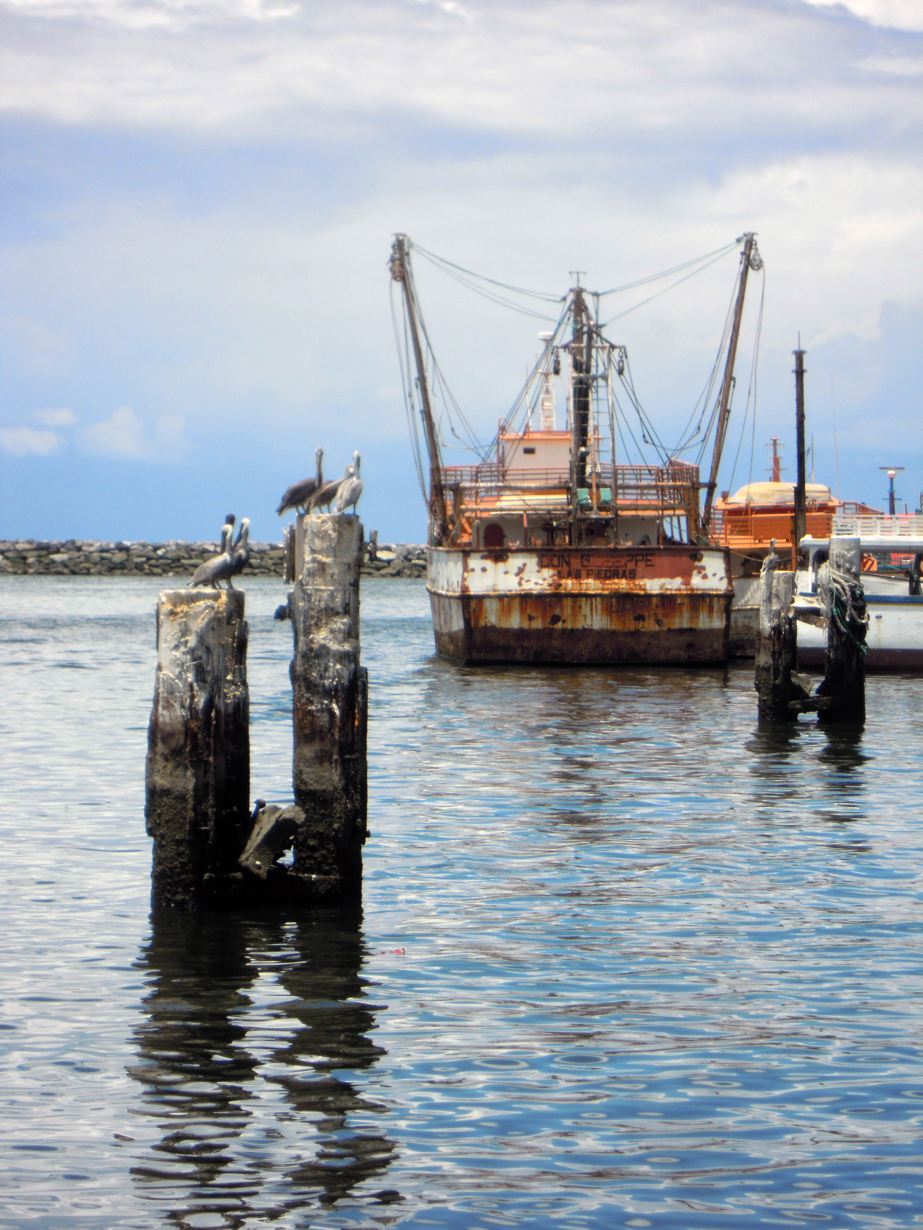
Rockly Bay, Trinidad and Tobago: Submarine Cable Landing Point
Rockly Bay is a submarine cable landing point located in Trinidad and Tobago, a twin-island nation situated at the southern end of the Caribbean island chain, close to the northeastern coast of South America. One submarine cable currently lands at Rockly Bay, connecting Trinidad and Tobago to its continental neighbors along the Guiana Shield coast.
The cable landing here, Deep Blue One, serves a regional corridor linking Trinidad and Tobago with French Guiana, Guyana, and Suriname. This positions Rockly Bay as a node in a network oriented toward the northern South American mainland rather than toward other Caribbean island territories, giving it a distinct geographic role among Trinidad and Tobago's landing points.
Cables Landing at Rockly Bay, Trinidad and Tobago
Deep Blue One is a submarine cable system with a total length of approximately 2,250 kilometers, with a ready-for-service date of 2024 on a draft basis. In addition to Rockly Bay in Trinidad and Tobago, Deep Blue One connects to landing points in French Guiana, Guyana, and Suriname. The cable forms a regional circuit along the northeastern coast of South America, bringing Trinidad and Tobago into direct submarine connectivity with three Guiana Shield nations that have historically had limited subsea cable access.
Regional Context
Within Trinidad and Tobago, Rockly Bay is one of four submarine cable landing points. Chaguaramas leads the national cable infrastructure with five cables, while Pigeon Point and Toco each host one cable, placing Rockly Bay on equal footing with those two single-cable landing points. Together, these four locations form the country's distributed submarine cable footprint across its coastlines.
Network Role
Rockly Bay functions as a single-cable terminus in the national and regional submarine cable graph. Through Deep Blue One, it provides a direct subsea link between Trinidad and Tobago and the three Guiana Shield territories - Guyana, Suriname, and French Guiana - along a corridor that runs along the northeastern shoulder of South America. This is a regionally focused route rather than an intercontinental one, serving connectivity between smaller Caribbean and South American coastal states.
As the only landing point in Trinidad and Tobago specifically oriented toward this Guiana corridor, Rockly Bay occupies a geographically distinct position from the more established multi-cable hub at Chaguaramas. Its presence in the regional submarine cable graph ensures that the Guiana Shield nations connected via Deep Blue One have a landing counterpart on the island of Tobago, extending Trinidad and Tobago's submarine cable reach beyond its main landing cluster.
What next: Rockly Bay, Trinidad and Tobago in the global directory of cable landing points; see surrounding routes on the interactive submarine cable map or follow live network monitoring.
Incident history
Significant incidents on cables landing here, each with its own report.
- Deep Blue One cable: latency up to 2.9× normal, 27 Aug 2026 (resolved)
- Deep Blue One cable: latency up to 3.1× normal, 19 Aug 2026 (resolved)
Other Landing Points in Trinidad and Tobago
Landing Point
- CountryTT Trinidad and Tobago
- Coordinates11.1825°N 60.7353°W
- Connected Cables1
See Real Cable Routes
View actual submarine cable routing from Rockly Bay, Trinidad and Tobago - with backbone nodes, distance calculations, and latency estimates
Open Calculator →