Spencer Beach, HI, United States
Landing Point · US United States
Connected Cables
| Cable | Status |
|---|---|
| Southern Cross Cable Network (SCCN) | Active |
Live Performance
RTT measurements to this landing point from 2026-04-18 through 2026-09-06 - live ICMP round-trip time via our monitoring probes. Recomputed daily. ✓ No anomalies detected in the monitored period.
Measurement sources
| Probe | Location | Samples | Avg |
|---|---|---|---|
| own probe | Jerusalem IL | 3 | 193.0 ms |
| #6427 own probe | Sydney AU | 2 | 188.2 ms |
| #7062 own probe | Cape Town ZA | 2 | 281.8 ms |
| own probe | Minsk BY | 2 | 275.6 ms |
| own probe | Almaty KZ | 2 | 246.6 ms |
| #6487 | control probe | 1 | 0.7 ms |
| #19053 | control probe | 1 | 99.5 ms |
| #61465 | control probe | 1 | 132.7 ms |
| #1010262 | control probe | 1 | 99.5 ms |
| own probe | Tbilisi GE | 1 | 162.2 ms |
| own probe | Sevastopol UA | 1 | 164.4 ms |
| own probe | Moscow RU | 1 | 140.9 ms |
| own probe | Saint Petersburg RU | 1 | 225.9 ms |
About Spencer Beach, HI, United States
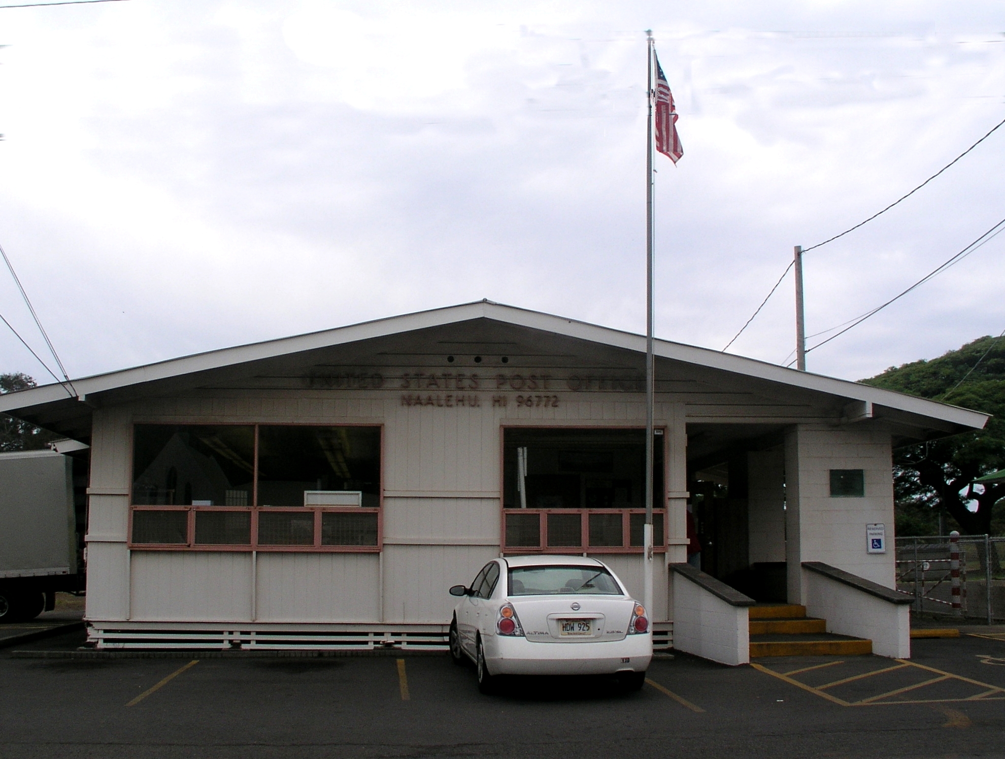
Spencer Beach, HI, United States: Submarine Cable Landing Point
Spencer Beach is a landing point located on the island of Hawaii in the state of Hawaii, United States. As a coastal site on the Pacific Ocean, it serves as a terminus for submarine cable infrastructure connecting the United States to the broader Pacific region. One submarine cable lands at Spencer Beach, linking it to Australia, Fiji, and New Zealand through a trans-Pacific corridor.
The single cable landing here, the Southern Cross Cable Network, is a long-distance intercontinental system spanning 30,500 kilometres. Its presence at Spencer Beach places this Hawaiian location within a significant trans-Pacific routing path that connects the United States mainland and its island territories to the South Pacific and Australasian nations.
Cables Landing at Spencer Beach
The Southern Cross Cable Network (SCCN) is the sole submarine cable landing at Spencer Beach. Measuring 30,500 kilometres in length, it reached ready-for-service status in 2000. The cable connects the United States, Australia, Fiji, and New Zealand, forming a loop-like trans-Pacific route that links North America with the South Pacific and Australasia. Spencer Beach, HI, serves as one of the United States endpoints on this system.
Regional Context
Within the United States, Spencer Beach hosts one cable, placing it among the more lightly served landing points in a country that counts 113 submarine cables across 160 landing points. By cable count, Spencer Beach ranks in the top 69% of landing points nationally, while other locations in the same state, such as Kapolei, HI, host five cables, and major hubs elsewhere in the country - including Boca Raton, FL and San Juan, PR - each host eight. Spencer Beach's position reflects its role as a focused, single-cable terminus rather than a multi-cable hub.
Network Role
Spencer Beach enables a direct trans-Pacific connection between the United States and the South Pacific nations of Australia, Fiji, and New Zealand through the Southern Cross Cable Network. As a single-cable terminus, it serves a defined and specific routing function rather than acting as a convergence point for multiple cable systems. The cable it hosts is among the longer systems in the global submarine cable inventory, at 30,500 kilometres, underscoring the geographic scale of the corridor it supports.
Within the broader Pacific submarine cable graph, Spencer Beach represents one of the Hawaiian waypoints through which trans-Pacific traffic between North America and Australasia can be routed, complementing other Hawaiian and continental US landing points that together form the United States' extensive Pacific-facing cable presence.
What next: Spencer Beach, HI, United States in the global directory of cable landing points; see surrounding routes on the interactive submarine cable map or follow live network monitoring.
Other Landing Points in United States
Landing Point
- CountryUS United States
- Coordinates20.0231°N 155.8221°W
- Connected Cables1
See Real Cable Routes
View actual submarine cable routing from Spencer Beach, HI, United States - with backbone nodes, distance calculations, and latency estimates
Open Calculator →