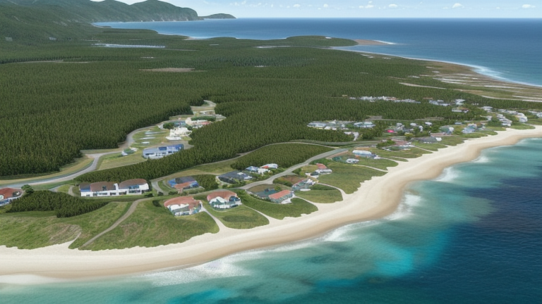
Manele Bay, HI, United States
Landing Point · US United States
Connected Cables
| Cable | Status |
|---|---|
| Hawaii Island Fibre Network (HIFN) | Active |
| Hawaiian Islands Fiber Link (HIFL) | Active |
📡 Live Performance
RTT measurements to this landing point from 2026-05-10 through 2026-07-12 - live ICMP round-trip time via our monitoring probes. Recomputed daily. ✓ No anomalies detected in the monitored period.
Measurement sources
| Probe | Location | Samples | Avg |
|---|---|---|---|
| #1014589 own probe | Almaty KZ | 2 | 281.4 ms |
| #1014969 own probe | Jerusalem IL | 2 | 149.6 ms |
| #6427 own probe | Sydney AU | 1 | 137.0 ms |
| #6487 own probe | Singapore SG | 1 | 176.5 ms |
| #7062 own probe | Cape Town ZA | 1 | 278.7 ms |
| #1014473 own probe | Minsk BY | 1 | 243.9 ms |
| #1014597 own probe | Tbilisi GE | 1 | 173.2 ms |
| #1015523 own probe | Moscow RU | 1 | 131.9 ms |
| #1015563 own probe | Saint Petersburg RU | 1 | 112.7 ms |
About Manele Bay, HI, United States
Manele Bay, HI: Submarine Cable Landing Point
Manele Bay is a submarine cable landing point located on the island of Lānaʻi in Hawaii, United States. As a coastal landing site within the Hawaiian island chain, it serves inter-island connectivity rather than intercontinental corridors. Two submarine cables land at Manele Bay, both connecting points entirely within the United States, reflecting the intra-national, inter-island character of the infrastructure here.
The two cables landing at Manele Bay — the Hawaiian Islands Fiber Link (HIFL) and the Hawaii Island Fibre Network (HIFN) — together form a modest but focused node within Hawaii's regional fiber network. Both systems link Hawaiian islands to one another, positioning Manele Bay as a waypoint in the archipelago's internal communications fabric rather than a gateway to international destinations.
Cables Landing at Manele Bay, HI
Hawaiian Islands Fiber Link (HIFL) is a 740-kilometer submarine cable with a projected ready-for-service (RFS) date of 2026, currently in draft status. The cable connects landing points across the Hawaiian islands, with all endpoints located within the United States. As one of the newer systems planned for Manele Bay, HIFL represents an expansion of inter-island fiber capacity in the region.
Hawaii Island Fibre Network (HIFN) is a 529-kilometer submarine cable that entered service in 1997, also in draft status. Like HIFL, all of its endpoints are located within the United States, serving the inter-island corridor across the Hawaiian archipelago. HIFN is the older of the two systems landing at Manele Bay and has provided regional connectivity for nearly three decades.
Regional Context
Within the United States, Manele Bay hosts 2 submarine cables, placing it among the smaller landing points nationally. Major U.S. landing points such as Boca Raton, FL and San Juan, PR each host 8 cables, while Hawaiian peers like Kapolei, HI host 5. Manele Bay ranks in the top 84% of the 167 U.S. landing points by cable count, reflecting its role as a specialized inter-island site rather than a high-volume international hub.
Network Role
Manele Bay functions as a focused inter-island terminus within the Hawaiian submarine cable network. With two cables — one operational since 1997 and one projected for 2026 — the landing point serves the specific connectivity needs of Lānaʻi within the broader Hawaiian island chain. Both systems are entirely domestic in scope, linking U.S. endpoints without extending to international destinations.
As a two-cable landing point dedicated to intra-archipelago routes, Manele Bay occupies a distinct position in the regional submarine cable graph: it does not participate in transoceanic corridors, but instead reinforces the internal fiber mesh that connects the Hawaiian islands to one another.
Other Landing Points in United States
Landing Point
- CountryUS United States
- Coordinates20.7434°N 156.8969°W
- Connected Cables2
See Real Cable Routes
View actual submarine cable routing from Manele Bay, HI, United States - with backbone nodes, distance calculations, and latency estimates
Open Calculator →