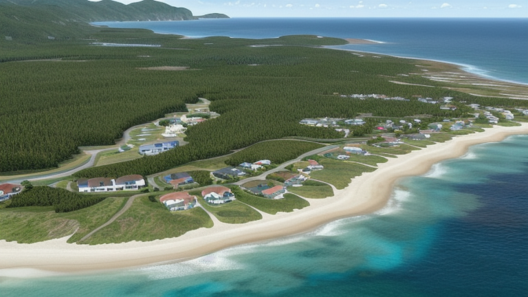
Koko Head, HI, United States
Landing Point · US United States
Connected Cables
| Cable | Status |
|---|---|
| Hawaii Inter-Island Cable System (HICS) | Active |
| Hawaii Island Fibre Network (HIFN) | Active |
📡 Live Performance
RTT measurements to this landing point from 2026-05-22 through 2026-07-08 - live ICMP round-trip time via our monitoring probes. Recomputed daily. ✓ No anomalies detected in the monitored period.
Measurement sources
| Probe | Location | Samples | Avg |
|---|---|---|---|
| #1014589 own probe | Almaty KZ | 2 | 207.3 ms |
| #1014969 own probe | Jerusalem IL | 2 | 161.0 ms |
| #6427 own probe | Sydney AU | 1 | 753.7 ms |
| #6487 own probe | Singapore SG | 1 | 230.5 ms |
| #7062 own probe | Cape Town ZA | 1 | 259.5 ms |
| #1014473 own probe | Minsk BY | 1 | 140.6 ms |
| #1014597 own probe | Tbilisi GE | 1 | 170.6 ms |
| #1015523 own probe | Moscow RU | 1 | 133.2 ms |
About Koko Head, HI, United States
Koko Head, HI, United States is a submarine cable landing point in United States (coordinates 21.2776°, -157.6960°). It serves 2 submarine cable systems, making it a multi-cable landing site in United States's international connectivity infrastructure.
Koko Head is the headland that defines the eastern side of Maunalua Bay along the southeastern side of the Island of Oahu in Hawaii. On its western slope is the community of Portlock, a part of Hawaiʻi Kai. Koko Head is an ancient tuff cone that is somewhat dwarfed by its neighboring tuff cone, Koko Crater, with its peak, Kohelepelepe, rising to 1208 ft or 368 m. Koko Head itself has three significant depressions or old vents, the largest of which forms the well-known Hanauma Bay. Koko Head's last eruption was 3,000-5,000 years ago and it is part of the Honolulu Volcanics. Wikipedia
Connected submarine cables
| Cable | RFS | Length | Owners |
|---|---|---|---|
| Hawaii Island Fibre Network (HIFN) | 1997 | 529 km | Hawaiian Telcom, Lumen |
| Hawaii Inter-Island Cable System (HICS) | 1994 | 479 km | Hawaiian Telcom |
Operators landing at Koko Head, HI, United States
Cables landing at Koko Head, HI, United States are operated by 2 distinct consortium partners and carriers, including Hawaiian Telcom, Lumen. Each cable is typically jointly owned by a consortium of tier-one carriers and hyperscale operators who share construction costs and capacity; the operator mix reflects both regional incumbents and global players with interest in the routes served by this landing point.
Connectivity profile
From Koko Head, HI, United States, international traffic can reach 1 countries through 2 cable systems. Destinations include United States.
Monitoring status
No monitoring incidents were recorded on cables serving Koko Head, HI, United States in the past 90 days — all connected systems remained within normal latency thresholds. Our monitoring network continuously samples latency from external probes to targets reachable via these cables.
About the cables
- Hawaii Island Fibre Network (HIFN) (1997) — Hawaii Island Fibre Network (HIFN) is a domestic submarine cable network within United States, connecting 7 coastal and island locations including Kaunakakai, Kawaihae, Kihei, Koko Head, Lihue, and 2 more. The system provides essential telecommunications infrastructure for communities that would otherwise depend entirely on satellite or microwave links. Read more →
- Hawaii Inter-Island Cable System (HICS) (1994) — Hawaii Inter-Island Cable System (HICS) is a domestic submarine cable network within United States, connecting 5 coastal and island locations including Kawaihae, Kihei, Ko Olina, Koko Head, Lihue. The system provides essential telecommunications infrastructure for communities that would otherwise depend entirely on satellite or microwave links. Read more →
What next: Koko Head, HI, United States in the global directory of cable landing points; see surrounding routes on the interactive submarine cable map or follow live network monitoring.
Other Landing Points in United States
Landing Point
- CountryUS United States
- Coordinates21.2776°N 157.6960°W
- Connected Cables2
See Real Cable Routes
View actual submarine cable routing from Koko Head, HI, United States - with backbone nodes, distance calculations, and latency estimates
Open Calculator →