Kahului, HI, United States
Landing Point · US United States
Connected Cables
| Cable | Status |
|---|---|
| Hawaiian Islands Fiber Link (HIFL) | Active |
📡 Live Performance
RTT measurements to this landing point from 2026-04-16 through 2026-07-16 - live ICMP round-trip time via our monitoring probes. Recomputed daily. ✓ No anomalies detected in the monitored period.
Measurement sources
| Probe | Location | Samples | Avg |
|---|---|---|---|
| #1014969 own probe | Jerusalem IL | 5 | 158.9 ms |
| #6427 own probe | Sydney AU | 4 | 245.6 ms |
| #6487 own probe | Singapore SG | 4 | 247.3 ms |
| #7062 own probe | Cape Town ZA | 4 | 257.7 ms |
| #1014589 own probe | Almaty KZ | 4 | 207.9 ms |
| #19053 | control probe | 1 | 97.6 ms |
| #61465 | control probe | 1 | 138.4 ms |
| #1010262 | control probe | 1 | 101.4 ms |
| #1014473 own probe | Minsk BY | 1 | 141.3 ms |
| #1014597 own probe | Tbilisi GE | 1 | 170.1 ms |
| #1015313 own probe | Sevastopol UA | 1 | 163.7 ms |
| #1015563 own probe | Saint Petersburg RU | 1 | 134.1 ms |
About Kahului, HI, United States
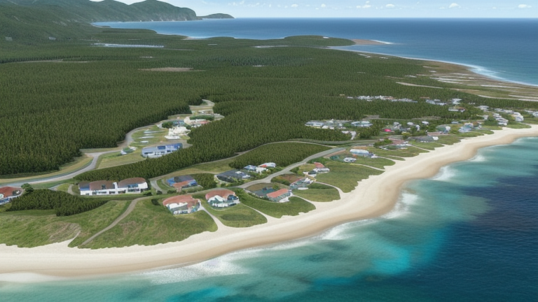
Kahului, HI: Submarine Cable Landing Point
Kahului is an unincorporated community on the island of Maui, situated within Maui County in the U.S. state of Hawaii. As a coastal settlement with an established deep-draft harbor, Kahului provides the physical infrastructure necessary to support submarine cable landings. One submarine cable is slated to land at Kahului, connecting the location into the broader Hawaiian Islands fiber network.
That cable is the Hawaiian Islands Fiber Link (HIFL), a domestic United States system linking points across the Hawaiian archipelago. Its routing between U.S. endpoints places Kahului within an inter-island connectivity corridor, enabling direct fiber links between Maui and other Hawaiian islands. With a ready-for-service date projected for 2026, HIFL represents the next phase of submarine cable infrastructure serving Maui.
Cables Landing at Kahului, HI
The Hawaiian Islands Fiber Link (HIFL) is a 740-kilometer submarine cable system with a draft ready-for-service date of 2026. All endpoints on the cable are located within the United States, reflecting its function as a domestic inter-island system within Hawaii. HIFL is designed to provide fiber connectivity among the Hawaiian Islands, and its landing at Kahului extends that network to Maui. As the cable is still in draft status, final technical and routing details remain subject to change.
Regional Context
Within the United States, Kahului sits at the lower end of the landing point spectrum by cable count. Peers such as Boca Raton, FL and San Juan, PR each host eight cables, while Kapolei, HI — another Hawaiian landing point — hosts five. Kahului's single cable places it in the top 69 percent of the 167 U.S. landing points by cable count, reflecting the broad distribution of smaller, single-cable sites across the country's extensive submarine cable geography.
Network Role
Kahului currently functions as a single-cable terminus rather than a multi-cable hub. Its role is specifically oriented toward intra-Hawaiian connectivity, with HIFL linking U.S. domestic endpoints across the archipelago. This positions Kahului as a point of entry for inter-island fiber capacity on Maui, supplementing the existing infrastructure concentrated at other Hawaiian landing points such as Kapolei.
In the broader U.S. submarine cable graph — which spans 113 cables across 160 landing points — Kahului represents one of many smaller nodes that extend fiber reach beyond the country's major cable hubs. Its inclusion in the HIFL system ensures that Maui participates directly in the evolving inter-island fiber topology rather than relying solely on connectivity routed through other islands.
Other Landing Points in United States
Landing Point
- CountryUS United States
- Coordinates20.8908°N 156.4671°W
- Connected Cables1
See Real Cable Routes
View actual submarine cable routing from Kahului, HI, United States - with backbone nodes, distance calculations, and latency estimates
Open Calculator →