Caracaraí, Brazil
Landing Point · BR Brazil
Connected Cables
| Cable | Status |
|---|---|
| Norte Conectado (Infovia 04) | Active |
Live Performance
RTT measurements to this landing point from 2026-04-04 through 2026-10-04 - live ICMP round-trip time via our monitoring probes. Recomputed daily. ✓ No anomalies detected in the monitored period.
Measurement sources
| Probe | Location | Samples | Avg |
|---|---|---|---|
| own probe | Minsk BY | 7 | 261.3 ms |
| own probe | Almaty KZ | 5 | 304.8 ms |
| #6410 own probe | Sao Paulo BR | 4 | 16.4 ms |
| #6427 own probe | Sydney AU | 4 | 314.1 ms |
| #7062 own probe | Cape Town ZA | 4 | 363.2 ms |
| #6487 | control probe | 2 | 362.8 ms |
| #64129 | control probe | 2 | 194.4 ms |
| own probe | Tbilisi GE | 2 | 268.7 ms |
| own probe | Jerusalem IL | 2 | 263.6 ms |
| own probe | Sevastopol UA | 1 | 287.5 ms |
| own probe | Moscow RU | 1 | 256.1 ms |
About Caracaraí, Brazil
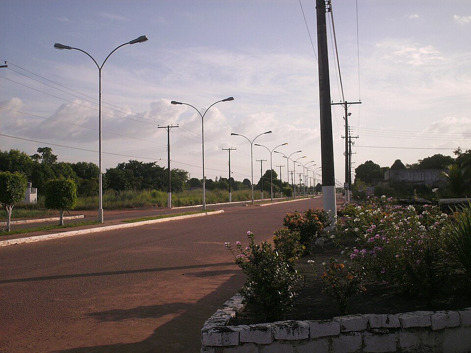
Caracaraí, Brazil: Submarine Cable Landing Point
Caracaraí is a municipality in the state of Roraima, Brazil, situated on the Branco River in the country's northern interior. As a landing point for submarine cable infrastructure, it represents an inland riverine terminus rather than a conventional coastal station, reflecting the geographic realities of connectivity in Brazil's vast Amazon basin region. One submarine cable lands at Caracaraí, the Norte Conectado (Infovia 04), which links it to other points within Brazil.
The Norte Conectado (Infovia 04) cable establishes a domestic corridor entirely within Brazilian territory, making Caracaraí part of a national submarine cable network rather than an intercontinental or international one. With a route length of 515 km, this cable is notably shorter than the Brazilian average cable length of 4,840 km, consistent with its role as a regional domestic connection.
Cables Landing at Caracaraí, Brazil
Norte Conectado (Infovia 04) is a 515-kilometre submarine cable with a scheduled ready-for-service (RFS) date of 2026, currently at draft status. All endpoints on this cable are located within Brazil, making it a purely domestic system. The cable connects Caracaraí to other Brazilian landing points along its route, providing intra-national connectivity within the country's northern region.
Regional Context
Within Brazil's submarine cable landscape, Caracaraí hosts a single cable, placing it in the lower tier of Brazilian landing points by cable count. Major Brazilian hubs such as Fortaleza (10 cables), Rio de Janeiro (8 cables), and Santos (5 cables) handle significantly more cable traffic, while Autazes, also an inland Amazon-region landing point, hosts 2 cables. Caracaraí's profile is comparable to other single-cable landing points distributed across Brazil's 64 total landing points, ranking within the top 81% of Brazilian landing points by cable count.
Network Role
Caracaraí functions as a single-cable domestic terminus, receiving the Norte Conectado (Infovia 04) system and its intra-Brazilian connectivity. Its role is specifically oriented toward extending submarine cable reach into Roraima, a state in Brazil's far north that sits outside the heavily cabled Atlantic coastline where Brazil's major international landing points are concentrated. The Norte Conectado (Infovia 04) cable, once operational in 2026, will represent Caracaraí's sole submarine cable link.
As a riverine landing point in a predominantly landlocked northern state, Caracaraí illustrates how Brazil's domestic submarine cable programmes extend connectivity beyond the coastal corridors traditionally served by international systems. Its presence in the broader Brazilian submarine cable graph highlights the country's efforts to reach interior municipalities through waterway-routed cable infrastructure.
What next: Caracaraí, Brazil in the global directory of cable landing points; see surrounding routes on the interactive submarine cable map or follow live network monitoring.
Other Landing Points in Brazil
Landing Point
- CountryBR Brazil
- Coordinates1.8239°N 61.1313°W
- Connected Cables1
See Real Cable Routes
View actual submarine cable routing from Caracaraí, Brazil - with backbone nodes, distance calculations, and latency estimates
Open Calculator →