Cabimas, Venezuela
Landing Point · VE Venezuela
Connected Cables
| Cable | Status |
|---|---|
| Venezuelan Festoon | Active |
Live Performance
RTT measurements to this landing point from 2026-03-10 through 2026-10-11 - live ICMP round-trip time via our monitoring probes. Recomputed daily. ✓ No anomalies detected in the monitored period.
Measurement sources
| Probe | Location | Samples | Avg |
|---|---|---|---|
| own probe | Minsk BY | 15 | 155.4 ms |
| #6410 own probe | Sao Paulo BR | 10 | 122.1 ms |
| #6427 own probe | Sydney AU | 9 | 287.1 ms |
| own probe | Almaty KZ | 7 | 203.6 ms |
| #7500 | control probe | 5 | 73.8 ms |
| #62736 | control probe | 5 | 78.3 ms |
| #63075 | control probe | 5 | 11.6 ms |
| own probe | Tbilisi GE | 5 | 176.3 ms |
| own probe | Saint Petersburg RU | 5 | 168.4 ms |
| #6487 | control probe | 4 | 260.4 ms |
| own probe | Jerusalem IL | 3 | 161.2 ms |
| own probe | Moscow RU | 3 | 149.5 ms |
| own probe | Kyiv UA | 3 | 144.9 ms |
| #6568 own probe | Singapore SG | 1 | 284.2 ms |
| own probe | Sevastopol UA | 1 | 179.1 ms |
About Cabimas, Venezuela
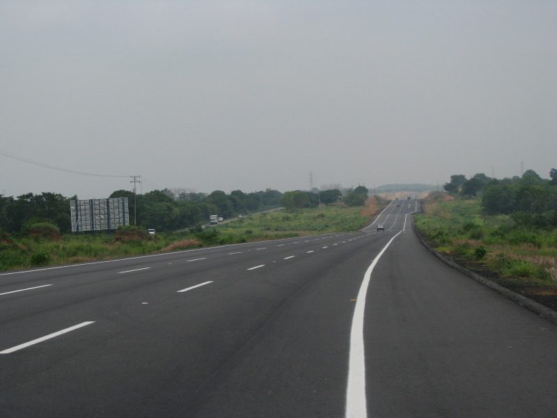
Cabimas, Venezuela: Submarine Cable Landing Point
Cabimas is a city located on the eastern shore of Lake Maracaibo in Zulia State, northwestern Venezuela. As a coastal settlement with access to Venezuelan waters, Cabimas serves as a submarine cable landing point, hosting one submarine cable connection. That cable, the Venezuelan Festoon, links Cabimas to other points within Venezuela, making this landing point part of a domestic intra-country submarine cable corridor rather than an intercontinental or inter-regional route.
The Venezuelan Festoon, which reached ready-for-service status in 1998, represents the earliest generation of submarine cable infrastructure deployed in Venezuela. Cabimas participates in this system as one node along a cable that runs entirely within Venezuelan territory, connecting various points along the country's coastline and lake systems.
Cables Landing at Cabimas
The Venezuelan Festoon is the sole submarine cable landing at Cabimas. Spanning approximately 1,200 kilometres, this cable entered service in 1998 and holds draft status. All endpoints on the Venezuelan Festoon lie within Venezuela itself, confirming that it operates as a domestic submarine cable system rather than a link to foreign territories. It represents Venezuela's first submarine cable deployment, with its RFS year of 1998 marking the inception of the country's submarine cable era.
Regional Context
Venezuela's submarine cable infrastructure spans 15 landing points, of which Cabimas is one, hosting a single cable. Among its regional peers, Punto Fijo stands out with two cables, while landing points such as Camuri, Carúpano, Chichiriviche, Coro, and Cumaná each host one cable, placing Cabimas in a comparable position to the majority of Venezuelan landing points by cable count. With one cable, Cabimas ranks within the top 93 percent of Venezuelan landing points, reflecting how concentrated Venezuela's cable connectivity remains across a relatively large number of locations.
Network Role
Cabimas functions as a single-cable terminus within Venezuela's domestic submarine cable network. Its connection via the Venezuelan Festoon links it to other Venezuelan landing points along a 1,200-kilometre domestic route, enabling intra-country submarine communications rather than international exchange. This role is characteristic of a significant share of Venezuela's landing points, which collectively serve the national festoon system rather than providing gateways to foreign cable networks.
Within the broader Venezuelan submarine cable graph, Cabimas represents one node in a domestic ring that distributes connectivity among coastal and lakeside communities. Its position on Lake Maracaibo's shore, connected through a cable that runs entirely within national waters, illustrates how submarine cable infrastructure can serve regional domestic distribution functions alongside the more widely discussed intercontinental links found elsewhere in Venezuela's cable portfolio.
What next: Cabimas, Venezuela in the global directory of cable landing points; see surrounding routes on the interactive submarine cable map or follow live network monitoring.
Other Landing Points in Venezuela
Landing Point
- CountryVE Venezuela
- Coordinates10.3960°N 71.4511°W
- Connected Cables1
See Real Cable Routes
View actual submarine cable routing from Cabimas, Venezuela - with backbone nodes, distance calculations, and latency estimates
Open Calculator →