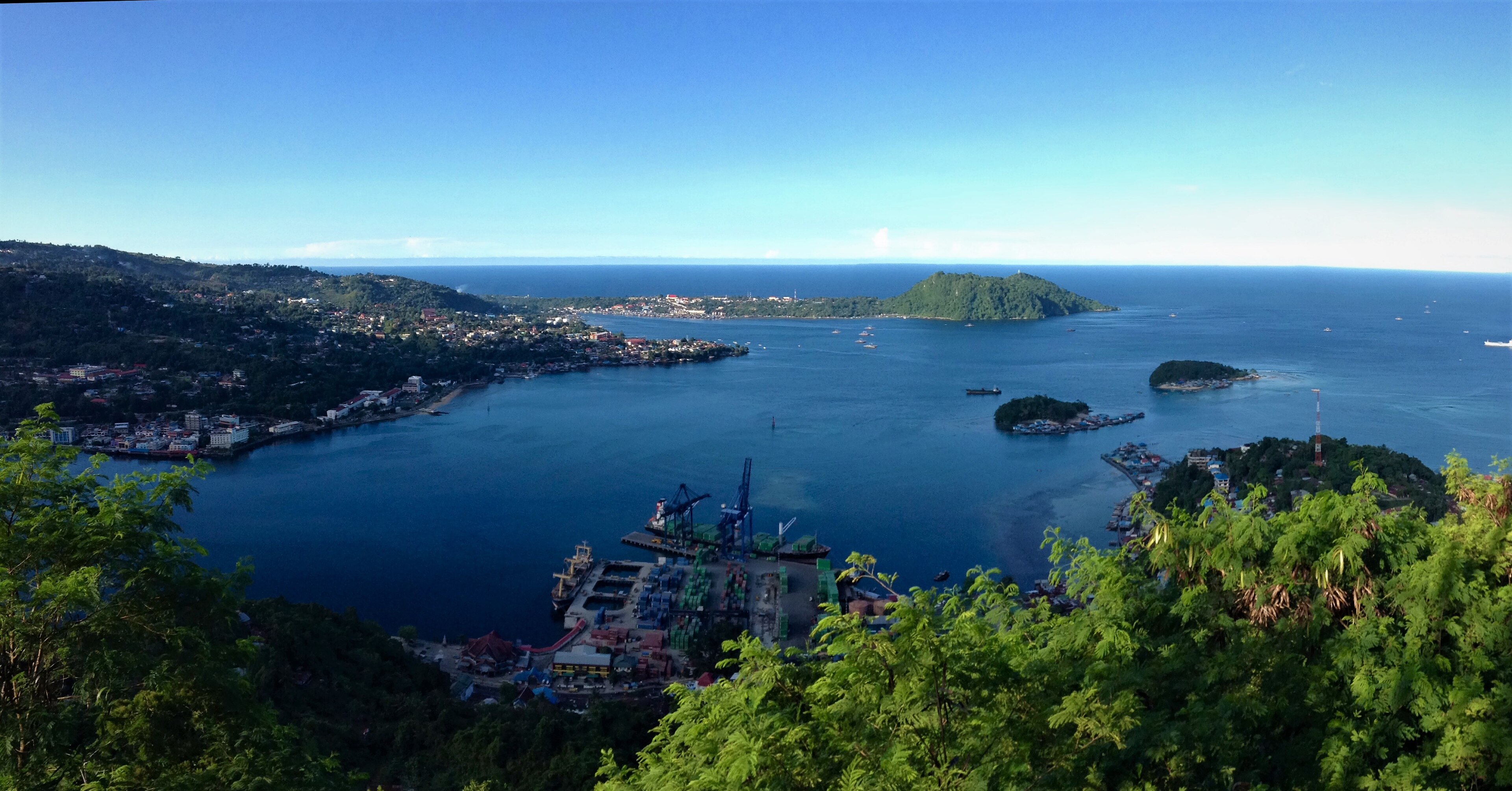
Yapen, Indonesia
Landing Point · ID Indonesia
Connected Cables
| Cable | Status |
|---|---|
| Palapa Ring East | Active |
📡 Live Performance
RTT measurements to this landing point from 2026-05-03 through 2026-06-30 - live ICMP round-trip time via our monitoring probes. Recomputed daily. ✓ No anomalies detected in the monitored period.
Measurement sources
| Probe | Location | Samples | Avg |
|---|---|---|---|
| #1014589 own probe | Almaty KZ | 5 | 259.7 ms |
| #6410 own probe | Sao Paulo BR | 4 | 342.1 ms |
| #6427 own probe | Sydney AU | 4 | 107.4 ms |
| #6487 own probe | Singapore SG | 4 | 18.8 ms |
| #7062 own probe | Cape Town ZA | 3 | 319.7 ms |
| #1014473 own probe | Minsk BY | 1 | 225.9 ms |
| #1014597 own probe | Tbilisi GE | 1 | 207.0 ms |
| #1014969 own probe | Jerusalem IL | 1 | 221.3 ms |
| #1015523 own probe | Moscow RU | 1 | 205.6 ms |
About Yapen, Indonesia
Yapen, Indonesia: Submarine Cable Landing Point
Yapen is an island located in Cenderawasih Bay off the north-western coast of New Guinea, within the province of Papua, Indonesia. Separated from the Biak Islands to the north by the Yapen Strait, the island forms part of the Yapen Islands Regency, a group of islands in one of Indonesia's easternmost provinces. As a submarine cable landing point, Yapen connects this remote island territory to the broader national network through undersea cable infrastructure.
One submarine cable lands at Yapen: the Palapa Ring East. This cable forms part of an intra-national corridor, linking Indonesian landing points across the archipelago's eastern reaches. Indonesia's submarine cable network spans 70 cables across 139 landing points, and Yapen's single-cable connection places it among the many landing points that extend national connectivity into geographically isolated island communities.
Cables Landing at Yapen
Palapa Ring East is a 6,300-kilometre submarine cable system that reached ready-for-service status in 2019. The cable connects multiple landing points exclusively within Indonesia, forming a domestic ring-topology network designed to bring submarine cable capacity to the eastern provinces of the archipelago. Yapen is one of the landing points on this system, positioned within the eastern segment of the ring that traverses the Papua region and surrounding island groups.
Regional Context
Within Indonesia's submarine cable landscape, Yapen hosts one cable, placing it in the top 62 percent of the country's 143 landing points by cable count. Major Indonesian hubs such as Batam with 20 cables, Jakarta with 9, and Makassar with 6 serve as the primary nodes of the national and international network. Yapen's role is more focused, serving the local connectivity needs of a specific island community in eastern Indonesia rather than functioning as a regional interchange point.
Network Role
Yapen functions as a single-cable terminus on the Palapa Ring East system, a domestic cable that stitches together Indonesian landing points across the eastern portion of the archipelago. This intra-national orientation means the connectivity provided at Yapen is directed toward integrating the Papua island region into Indonesia's national submarine cable grid, rather than enabling intercontinental or inter-regional international links.
As one of many landing points distributed across Indonesia's vast island geography, Yapen represents the extension of submarine cable infrastructure into areas where terrestrial or satellite alternatives may be limited. Its presence on the Palapa Ring East places it within a nationally significant domestic cable system, connecting a remote island community in Cenderawasih Bay to the broader Indonesian submarine cable graph.
Other Landing Points in Indonesia
Landing Point
- CountryID Indonesia
- Coordinates1.7561°S 136.1570°E
- Connected Cables1
See Real Cable Routes
View actual submarine cable routing from Yapen, Indonesia - with backbone nodes, distance calculations, and latency estimates
Open Calculator →