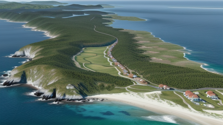
Waisai, Indonesia
Landing Point · ID Indonesia
Connected Cables
| Cable | Status |
|---|---|
| Patara-2 | Active |
| SMPCS Packet-2 | Active |
📡 Live Performance
RTT measurements to this landing point from 2026-07-07 through 2026-07-12 - live ICMP round-trip time via our monitoring probes. Recomputed daily. ✓ No anomalies detected in the monitored period.
Measurement sources
| Probe | Location | Samples | Avg |
|---|---|---|---|
| #6410 own probe | Sao Paulo BR | 2 | 328.9 ms |
| #6427 own probe | Sydney AU | 2 | 158.8 ms |
| #6487 own probe | Singapore SG | 2 | 66.8 ms |
| #7062 own probe | Cape Town ZA | 2 | 363.3 ms |
| #1014589 own probe | Almaty KZ | 2 | 308.7 ms |
| #1014597 own probe | Tbilisi GE | 1 | 309.3 ms |
About Waisai, Indonesia
Waisai, Indonesia: Submarine Cable Landing Point
Waisai is a town on the southern coast of Waigeo Island in the Raja Ampat Islands, part of Indonesia's West Papua province. As the capital of Raja Ampat Regency, it sits within an archipelago that stretches across a remote stretch of eastern Indonesia. Two submarine cables land at Waisai, connecting it to the broader Indonesian domestic cable network and providing the town and its surrounding islands with submarine-based telecommunications links.
Both cables landing at Waisai connect exclusively to other points within Indonesia, placing this landing point firmly within the domestic inter-island corridor rather than any intercontinental or international route. This reflects the geographic reality of the Raja Ampat archipelago, where submarine cables serve as the primary means of linking dispersed island communities to the rest of the country's network.
Cables Landing at Waisai
SMPCS Packet-2 is a submarine cable with a total length of 3,498 km, reaching its ready-for-service status in 2015. The cable connects multiple landing points entirely within Indonesia, running as part of the domestic inter-island cable infrastructure. At 3,498 km, it is one of the longer domestic cable systems serving Waisai, reflecting the vast distances involved in linking Indonesia's scattered island groups.
Patara-2 is a submarine cable measuring 1,200 km in length, which entered service in 2023. Like SMPCS Packet-2, Patara-2 connects landing points solely within Indonesia, forming part of the more recent additions to the country's domestic submarine cable network. Its 2023 RFS date makes it the newer of the two systems serving Waisai, extending and reinforcing connectivity for the Raja Ampat region in the years following the earlier cable's deployment.
Regional Context
Within Indonesia's extensive submarine cable landscape — which encompasses 70 cables across 139 landing points — Waisai ranks in the top 85 percent of the country's landing points by cable count. Major Indonesian hubs such as Batam (20 cables), Jakarta (9 cables), and Manado (8 cables) host considerably more systems, reflecting their roles as national and international gateways. Waisai's two cables represent a more modest but meaningful presence, consistent with its position as a regional administrative center in a remote eastern archipelago.
Network Role
Waisai functions as a domestic inter-island terminus, with both of its submarine cables operating entirely within Indonesian waters. Rather than serving as a gateway to international networks, the landing point connects Raja Ampat's communities to other parts of the Indonesian archipelago, enabling telecommunications links across a region defined by geographic fragmentation. The combination of the longer SMPCS Packet-2 system and the more recently deployed Patara-2 provides a degree of redundancy and capacity growth for this remote island capital.
As one of 139 submarine cable landing points spread across Indonesia, Waisai illustrates how the country's domestic cable network reaches well beyond its major commercial and population centers. Its presence in the submarine cable graph ensures that even the outermost administrative capitals of Indonesia's far eastern islands maintain dedicated undersea connections to the national network.
Other Landing Points in Indonesia
Landing Point
- CountryID Indonesia
- Coordinates0.3834°S 130.8576°E
- Connected Cables2
See Real Cable Routes
View actual submarine cable routing from Waisai, Indonesia - with backbone nodes, distance calculations, and latency estimates
Open Calculator →