Van Anda, BC, Canada
Landing Point · CA Canada
Connected Cables
| Cable | Status |
|---|---|
| Connected Coast | Active |
Live Performance
RTT measurements to this landing point from 2026-04-14 through 2026-09-17 - live ICMP round-trip time via our monitoring probes. Recomputed daily. ✓ No anomalies detected in the monitored period.
Measurement sources
| Probe | Location | Samples | Avg |
|---|---|---|---|
| own probe | Minsk BY | 6 | 105.6 ms |
| own probe | Moscow RU | 5 | 99.3 ms |
| #7062 own probe | Cape Town ZA | 4 | 215.9 ms |
| own probe | Saint Petersburg RU | 4 | 104.6 ms |
| #6487 | control probe | 3 | 181.2 ms |
| #17830 | control probe | 2 | 11.3 ms |
| #50094 | control probe | 2 | 20.0 ms |
| #54737 | control probe | 2 | 17.3 ms |
| #6427 own probe | Sydney AU | 1 | 167.3 ms |
| own probe | Almaty KZ | 1 | 173.3 ms |
| own probe | Tbilisi GE | 1 | 135.0 ms |
| own probe | Jerusalem IL | 1 | 138.1 ms |
| own probe | Sevastopol UA | 1 | 148.8 ms |
About Van Anda, BC, Canada
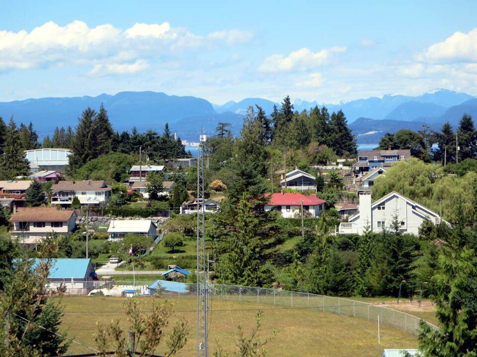
Van Anda, BC, Canada: Submarine Cable Landing Point
Van Anda is an unincorporated settlement on Texada Island in the northern Gulf of Georgia, British Columbia, Canada. Though small in population - approximately 362 residents as of 2023 - it serves as a submarine cable landing point, connecting Texada Island to the broader coastal connectivity network of British Columbia. One submarine cable lands at Van Anda, making it a single-cable terminus within Canada's extensive submarine cable infrastructure.
The cable landing at Van Anda supports intra-Canadian connectivity along the British Columbia coast. The corridor enabled here is regional and domestic in nature, linking island and coastal communities rather than bridging intercontinental distances. This reflects a broader pattern in Canada's submarine cable landscape, where a significant share of landing points serve coastal and inter-island routes across the country's vast and varied shoreline.
Cables Landing at Van Anda
Connected Coast is the sole submarine cable landing at Van Anda. It reached ready-for-service (RFS) status in 2024, with its current status noted as draft. All other endpoints on the Connected Coast cable are also located in Canada, confirming that this is a domestic cable serving coastal and island communities within British Columbia and potentially other parts of the Canadian coastline. No cable length or additional technical specifications are recorded for Connected Coast at this time.
Regional Context
Within Canada's submarine cable network, Van Anda sits among a diverse set of landing points. Larger hubs such as Vancouver, BC, Halifax, NS, Prince Rupert, BC, Kangiqsujuaq, QC, and Puvirnituq, QC each host two cables, while Van Anda shares its single-cable profile with Addenbroke Island, BC. Canada's 155 submarine cable landing points span a wide range of scales and roles, and Van Anda, with one cable, ranks in the top 97 percent of Canadian landing points by cable count - reflecting how many of the country's landing points serve focused, community-level connectivity needs.
Network Role
Van Anda functions as a single-cable terminus on the Connected Coast system, providing Texada Island with a submarine cable connection to the Canadian coastal network. The Connected Coast cable, with its exclusively domestic endpoints, positions Van Anda within a regional British Columbia corridor rather than an international or intercontinental route. This is consistent with the role many of Canada's 155 landing points play: extending connectivity to remote and island communities that are not well served by terrestrial infrastructure.
In the broader Canadian submarine cable graph, Van Anda represents the pattern of distributed, community-scale landing points that collectively ensure coastal British Columbia communities remain connected. Its presence on the Connected Coast cable links Texada Island into the same domestic network that serves numerous other coastal and island settlements along Canada's Pacific coast.
What next: Van Anda, BC, Canada in the global directory of cable landing points; see surrounding routes on the interactive submarine cable map or follow live network monitoring.
Other Landing Points in Canada
Landing Point
- CountryCA Canada
- Coordinates49.7577°N 124.5565°W
- Connected Cables1
See Real Cable Routes
View actual submarine cable routing from Van Anda, BC, Canada - with backbone nodes, distance calculations, and latency estimates
Open Calculator →