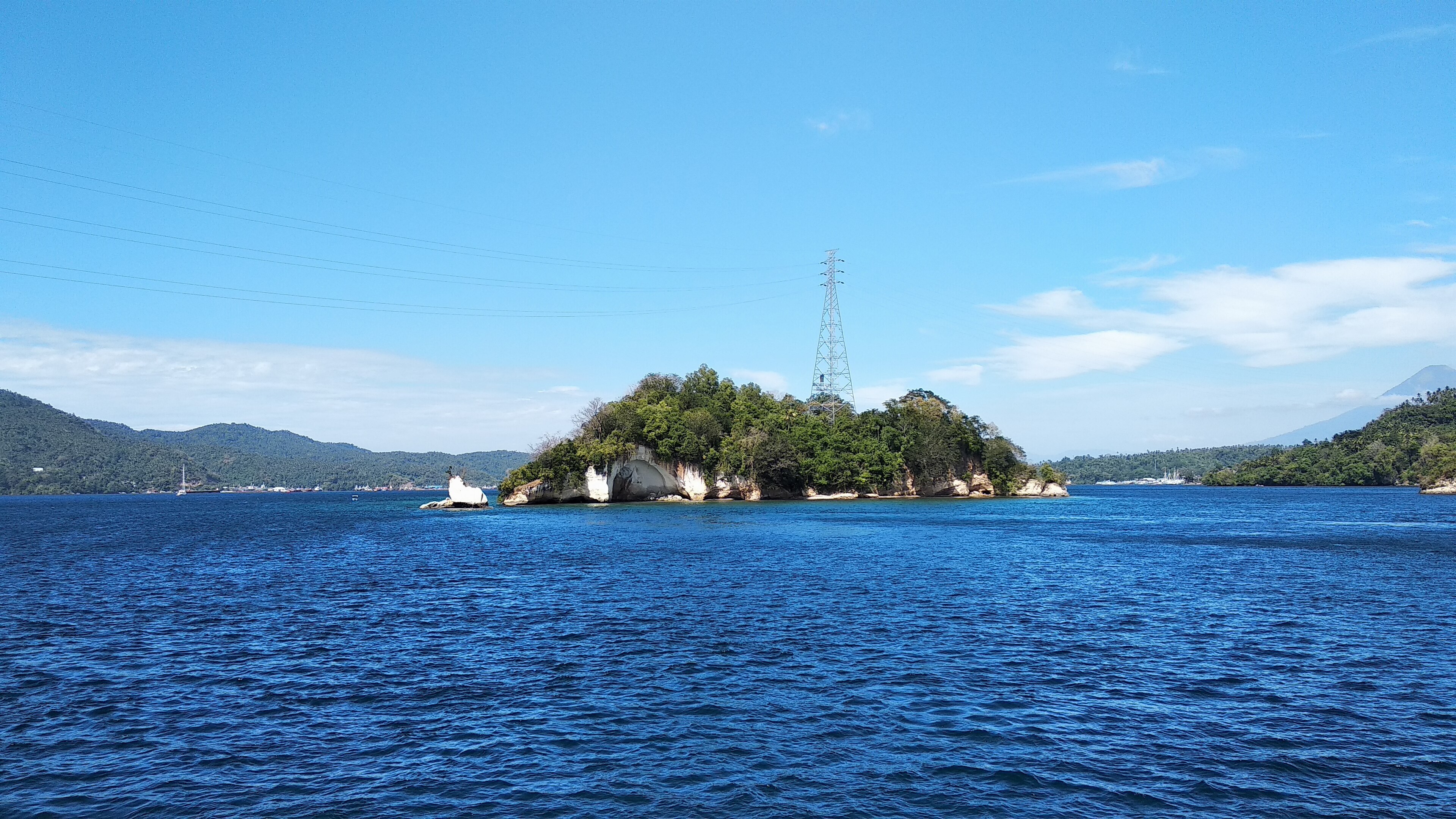
Taliabu, Indonesia
Landing Point · ID Indonesia
Connected Cables
| Cable | Status |
|---|---|
| Palapa Ring Middle | Active |
📡 Live Performance
RTT measurements to this landing point from 2026-04-16 through 2026-06-15 - live ICMP round-trip time via our monitoring probes. Recomputed daily. ✓ No anomalies detected in the monitored period.
Measurement sources
| Probe | Location | Samples | Avg |
|---|---|---|---|
| #1014473 own probe | Minsk BY | 2 | 205.8 ms |
| #1014589 own probe | Almaty KZ | 2 | 262.1 ms |
| #1014597 own probe | Tbilisi GE | 2 | 265.0 ms |
| #1014969 own probe | Jerusalem IL | 2 | 221.1 ms |
| #6410 own probe | Sao Paulo BR | 1 | 346.5 ms |
| #6427 own probe | Sydney AU | 1 | 107.2 ms |
| #6487 own probe | Singapore SG | 1 | 19.4 ms |
| #7062 own probe | Cape Town ZA | 1 | 318.1 ms |
| #1015313 own probe | Sevastopol UA | 1 | 228.6 ms |
| #1015523 own probe | Moscow RU | 1 | 209.5 ms |
About Taliabu, Indonesia
Taliabu, Indonesia: Submarine Cable Landing Point
Taliabu is an island located in the North Maluku province of Indonesia, forming the westernmost part of the Sula Archipelago. As an island territory, submarine cable connectivity represents a significant mode of telecommunications linkage to the broader Indonesian national network. One submarine cable lands at Taliabu: the Palapa Ring Middle, a domestic Indonesian system that connects multiple island and coastal communities across the archipelago.
The Palapa Ring Middle cable is an entirely intra-Indonesian system, meaning the connectivity it enables is regional and inter-island in character rather than intercontinental. For an island regency such as Taliabu — which was only separated into its own administrative regency in December 2012 and had a population of 58,047 at the 2020 Census — a direct landing on a national submarine cable system represents a meaningful extension of the country's domestic digital network into its eastern island territories.
Cables Landing at Taliabu
Palapa Ring Middle is a submarine cable system with a total length of approximately 2,100 km, reaching ready-for-service (RFS) status in 2018. The cable is an entirely domestic Indonesian system, with all of its landing points located within Indonesia. It forms part of the broader Palapa Ring initiative, which was designed to extend submarine cable infrastructure to underserved and remote island communities across the Indonesian archipelago. Taliabu is one of the endpoints on this system, connecting the island into the national network alongside other Indonesian landing points served by the cable.
Regional Context
Within Indonesia's submarine cable landscape, Taliabu is a single-cable landing point, standing in contrast to major hubs such as Batam, which hosts 15 cables, and Jakarta and Tanjung Pakis, each serving 7 cables. Manado in North Sulawesi serves 5 cables, while Anyer and Dumai each host 3. Taliabu's role is more narrowly defined, reflecting its status as a remote island regency in eastern Indonesia rather than a gateway hub on major international routes.
Network Role
Taliabu functions as a single-cable terminus within the Indonesian domestic submarine cable network. Its connection via the Palapa Ring Middle system links the island into a broader intra-archipelago corridor, enabling telecommunications continuity between Taliabu and other Indonesian communities served by that cable. The landing point does not currently serve any international cable routes, placing it firmly in the category of a domestic endpoint rather than a multi-cable hub.
Within the regional submarine cable graph, Taliabu's position illustrates how Indonesia's Palapa Ring program extended structured cable connectivity to geographically isolated island regencies that would otherwise depend on satellite or indirect terrestrial links. As a terminus on a nationally planned system, the Taliabu landing point reflects the deliberate reach of Indonesia's domestic submarine cable policy into the North Maluku island chain.
Other Landing Points in Indonesia
Landing Point
- CountryID Indonesia
- Coordinates1.8268°S 124.7741°E
- Connected Cables1
See Real Cable Routes
View actual submarine cable routing from Taliabu, Indonesia - with backbone nodes, distance calculations, and latency estimates
Open Calculator →