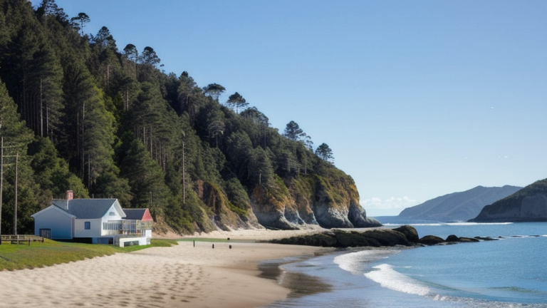
Sumbawa Besar, Indonesia
Landing Point · ID Indonesia
Connected Cables
| Cable | Status |
|---|---|
| Denpasar-Waingapu Cable Systems | Active |
| Mataram Kupang Cable System (MKCS) | Active |
📡 Live Performance
RTT measurements to this landing point from 2026-06-14 through 2026-07-11 - live ICMP round-trip time via our monitoring probes. Recomputed daily. ✓ No anomalies detected in the monitored period.
Measurement sources
| Probe | Location | Samples | Avg |
|---|---|---|---|
| #6410 own probe | Sao Paulo BR | 2 | 364.8 ms |
| #6427 own probe | Sydney AU | 2 | 115.7 ms |
| #6487 own probe | Singapore SG | 2 | 24.9 ms |
| #1014473 own probe | Minsk BY | 2 | 255.0 ms |
| #1014589 own probe | Almaty KZ | 2 | 282.0 ms |
| #1014597 own probe | Tbilisi GE | 1 | 230.8 ms |
About Sumbawa Besar, Indonesia
Sumbawa Besar: Submarine Cable Landing Point
Sumbawa Besar is a town on the Indonesian island of Sumbawa, serving as the administrative capital of Sumbawa Regency within the province of West Nusa Tenggara. As a coastal settlement on an island that sits within the Indonesian archipelago, Sumbawa Besar has been connected to Indonesia's domestic submarine cable network. Two submarine cables land at this location, linking it to other parts of the Indonesian island chain and supporting intra-national connectivity across the region.
Both cables landing at Sumbawa Besar are domestic Indonesian systems, meaning the connectivity enabled here is regional and inter-island in nature rather than intercontinental. The Mataram Kupang Cable System and the Denpasar-Waingapu Cable Systems together position Sumbawa Besar as a node within the string of islands stretching across the Lesser Sunda archipelago, connecting communities and infrastructure that would otherwise rely on terrestrial or satellite alternatives.
Cables Landing at Sumbawa Besar
The Mataram Kupang Cable System (MKCS) is a domestic Indonesian submarine cable spanning 1,318 kilometres, with a ready-for-service date of 2011. The cable connects multiple landing points within Indonesia, threading through the archipelago and including Sumbawa Besar as one of its intermediate or terminal points along its route.
The Denpasar-Waingapu Cable Systems is a domestic Indonesian submarine cable measuring 814 kilometres in length, with a ready-for-service date of 2019. Like the MKCS, this cable operates entirely within Indonesian territory, linking Sumbawa Besar to other Indonesian island communities. Its more recent deployment date reflects the continued investment in expanding domestic submarine cable infrastructure across the Indonesian archipelago.
Regional Context
Within Indonesia's extensive submarine cable landscape — which spans 70 cables across 139 landing points — Sumbawa Besar ranks in the top 85 percent of domestic landing points by cable count. The landing point carries fewer cables than major Indonesian hubs such as Batam (20 cables), Jakarta (9 cables), or Makassar (6 cables), reflecting its role as a regional inter-island node rather than a primary international gateway.
Network Role
Sumbawa Besar functions as a two-cable landing point serving domestic inter-island connectivity within the Lesser Sunda island chain. Both cables terminating here are Indonesian domestic systems, meaning the location supports intra-national data and communications routing between island communities rather than providing international or intercontinental reach. The MKCS, completed in 2011, and the Denpasar-Waingapu Cable Systems, completed in 2019, together give Sumbawa Besar redundant domestic submarine cable connections spanning a combined route length of over 2,100 kilometres.
In the broader Indonesian submarine cable graph, Sumbawa Besar represents the kind of mid-tier domestic landing point that extends reliable fixed connectivity to island populations that lie beyond the reach of the country's major international cable hubs. Its presence in the network reflects Indonesia's ongoing effort to build out domestic submarine infrastructure across its far-flung island territories.
What next: Sumbawa Besar, Indonesia in the global directory of cable landing points; see surrounding routes on the interactive submarine cable map or follow live network monitoring.
Other Landing Points in Indonesia
Landing Point
- CountryID Indonesia
- Coordinates8.8412°S 118.0822°E
- Connected Cables2
See Real Cable Routes
View actual submarine cable routing from Sumbawa Besar, Indonesia - with backbone nodes, distance calculations, and latency estimates
Open Calculator →