Sape, Indonesia
Landing Point · ID Indonesia
Connected Cables
| Cable | Status |
|---|---|
| Sape-Labuan Bajo-Ende-Kupang | Active |
📡 Live Performance
RTT measurements to this landing point from 2026-03-22 through 2026-07-11 - live ICMP round-trip time via our monitoring probes. Recomputed daily. ✓ No anomalies detected in the monitored period.
Measurement sources
| Probe | Location | Samples | Avg |
|---|---|---|---|
| #1014473 own probe | Minsk BY | 3 | 272.1 ms |
| #1014589 own probe | Almaty KZ | 3 | 304.9 ms |
| #6410 own probe | Sao Paulo BR | 2 | 363.5 ms |
| #6427 own probe | Sydney AU | 2 | 115.6 ms |
| #6487 own probe | Singapore SG | 2 | 24.9 ms |
| #1014597 own probe | Tbilisi GE | 2 | 274.7 ms |
| #1014969 own probe | Jerusalem IL | 1 | 307.0 ms |
About Sape, Indonesia
Sape, Indonesia: Submarine Cable Landing Point
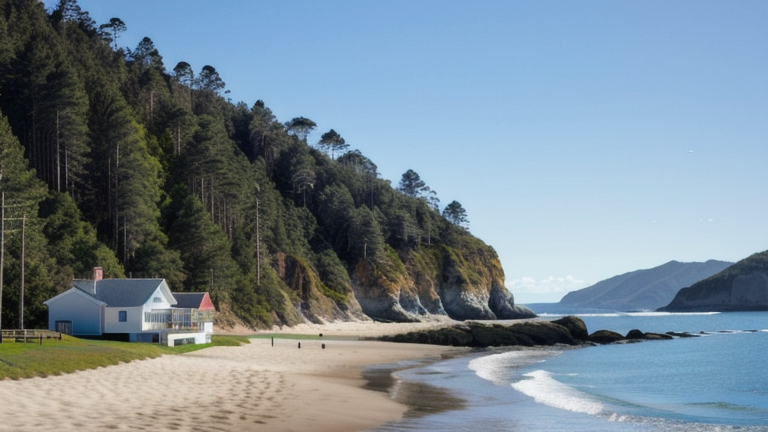
Sape is a coastal town in the Indonesian province of West Nusa Tenggara, situated on the eastern tip of Sumbawa island at the edge of the Sape Strait. This strait connects the Flores Sea to the Sumba Strait and forms a natural boundary between the provinces of West Nusa Tenggara and East Nusa Tenggara. As a submarine cable landing point, Sape sits at a geographic junction that bridges island communities across this part of the Indonesian archipelago.
One submarine cable currently lands at Sape, connecting it to a chain of other Indonesian landing points along a regional intra-country route. This cable operates within a distinctly domestic corridor, linking islands and urban centres across the Lesser Sunda Islands region rather than spanning international boundaries. The route it supports is an inter-island one, reflecting Indonesia's ongoing effort to extend connectivity across its vast and fragmented archipelago.
Cables Landing at Sape
Sape-Labuan Bajo-Ende-Kupang is a submarine cable stretching 474 kilometres, with a reported ready-for-service year of 2021, though its status is noted as draft. This cable connects Sape with Labuan Bajo, Ende, and Kupang — all located within Indonesia. Together, these landing points span the eastern portion of the Lesser Sunda Islands, linking Sumbawa through Flores to Timor. The cable forms an intra-national link exclusively, with no connections to other countries, and serves to extend network infrastructure to communities across this island chain.
Regional Context
Within Indonesia's submarine cable landscape, Sape is one of 139 landing points spread across the country, which together host 70 submarine cables in total. Compared to major Indonesian hubs such as Batam (20 cables), Jakarta (9 cables), Tanjung Pakis (9 cables), and Manado (8 cables), Sape hosts a single cable and ranks in the upper 62 percent of Indonesian landing points by cable count. Its role is more localised than these high-density nodes, reflecting its position as a regional inter-island connection point rather than an international gateway.
Network Role
Sape functions as a single-cable terminus within a domestic inter-island corridor. The Sape-Labuan Bajo-Ende-Kupang cable extends eastward from Sumbawa toward Flores and Timor, helping to bridge geographically separated communities across the Lesser Sunda Islands. There is no international routing associated with this landing point; its entire purpose is to support connectivity within Indonesia's internal island network.
As a single-cable landing point in a country that spans thousands of islands, Sape illustrates the pattern by which Indonesia builds out its submarine cable infrastructure incrementally across remote and mid-tier coastal towns. In the broader Indonesian submarine cable graph, landing points like Sape represent the last-mile reaches of a national network that depends on many such modest, regionally focused nodes to achieve geographic coverage.
Other Landing Points in Indonesia
Landing Point
- CountryID Indonesia
- Coordinates8.5056°S 118.9762°E
- Connected Cables1
See Real Cable Routes
View actual submarine cable routing from Sape, Indonesia - with backbone nodes, distance calculations, and latency estimates
Open Calculator →