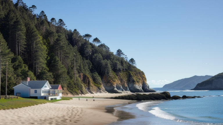
Sanur, Indonesia
Landing Point · ID Indonesia
Connected Cables
| Cable | Status |
|---|---|
| Indonesia Tengah Cable Systems | Planned |
| Link 1 Phase-2 | Active |
📡 Live Performance
RTT measurements to this landing point from 2026-03-27 through 2026-06-25 - live ICMP round-trip time via our monitoring probes. Recomputed daily. ✓ No anomalies detected in the monitored period.
Measurement sources
| Probe | Location | Samples | Avg |
|---|---|---|---|
| #1014473 own probe | Minsk BY | 4 | 295.1 ms |
| #1014589 own probe | Almaty KZ | 4 | 312.8 ms |
| #1014597 own probe | Tbilisi GE | 3 | 301.5 ms |
| #1014969 own probe | Jerusalem IL | 3 | 309.7 ms |
| #6410 own probe | Sao Paulo BR | 1 | 372.4 ms |
| #6427 own probe | Sydney AU | 1 | 107.3 ms |
| #6487 own probe | Singapore SG | 1 | 19.8 ms |
About Sanur, Indonesia
Sanur, Indonesia: Submarine Cable Landing Point
Sanur is a coastal locality on the southeastern shore of Bali, east of Denpasar, and serves as a submarine cable landing point within Indonesia's broader undersea network. Two submarine cables come ashore here, both connecting Sanur to other points within the Indonesian archipelago. This makes Sanur an intra-national landing point, supporting domestic connectivity across the island chain rather than intercontinental or international routes.
The two cables landing at Sanur — the Indonesia Tengah Cable Systems and Link 1 Phase-2 — together form a modest but focused domestic corridor. Indonesia's vast archipelagic geography makes inter-island submarine links a practical necessity, and Sanur's position on Bali's coast places it as a node in that domestic infrastructure.
Cables Landing at Sanur
The Indonesia Tengah Cable Systems is a domestic submarine cable with a total length of 2,641 km, currently in draft status with a projected ready-for-service date of 2027. Both of its endpoints lie within Indonesia, making it a purely intra-national system. Sanur represents one of the landing points along this cable's Indonesian routing.
The Link 1 Phase-2 is a shorter domestic submarine cable measuring 94 km in length. It reached its ready-for-service date in 2005 and also connects points entirely within Indonesia. At just 94 km, it serves as a relatively short inter-island or coastal link, with Sanur as one of its Indonesian termini.
Regional Context
Within Indonesia's submarine cable landscape — which spans 70 cables across 139 landing points — Sanur's two cables place it in the top 85% of Indonesian landing points by cable count. Compared to major Indonesian hubs such as Batam with 20 cables, Jakarta with 9, and Makassar with 6, Sanur is a smaller domestic node. Its role is more specialized, focused on intra-archipelago connectivity rather than serving as a gateway to international systems.
Network Role
Sanur functions as a dual-cable domestic terminus on Bali's southeastern coast, linking the island into Indonesia's internal submarine cable grid through two separate systems of notably different scales: the long-distance Indonesia Tengah Cable Systems spanning over 2,600 km and the short-haul Link 1 Phase-2 at 94 km. Both cables serve exclusively Indonesian destinations, meaning Sanur's role is oriented entirely toward national connectivity rather than cross-border routing.
Within the regional submarine cable graph, Sanur illustrates how Indonesia's complex archipelago requires dedicated short and medium-haul domestic cables alongside the international systems that concentrate at larger hubs. Its presence as a Bali landing point adds geographic diversity to Indonesia's domestic cable coverage across the island chain.
Other Landing Points in Indonesia
Landing Point
- CountryID Indonesia
- Coordinates8.6951°S 115.2596°E
- Connected Cables2
See Real Cable Routes
View actual submarine cable routing from Sanur, Indonesia - with backbone nodes, distance calculations, and latency estimates
Open Calculator →