Sangatta, Indonesia
Landing Point · ID Indonesia
Connected Cables
| Cable | Status |
|---|---|
| Link 2 Phase-1 | Active |
📡 Live Performance
RTT measurements to this landing point from 2026-03-11 through 2026-07-11 - live ICMP round-trip time via our monitoring probes. Recomputed daily. ✓ No anomalies detected in the monitored period.
Measurement sources
| Probe | Location | Samples | Avg |
|---|---|---|---|
| #1014589 own probe | Almaty KZ | 3 | 316.8 ms |
| #1014597 own probe | Tbilisi GE | 3 | 320.3 ms |
| #1014473 own probe | Minsk BY | 2 | 292.9 ms |
| #6410 own probe | Sao Paulo BR | 1 | 402.6 ms |
| #6427 own probe | Sydney AU | 1 | 116.8 ms |
| #6487 own probe | Singapore SG | 1 | 24.3 ms |
| #7062 own probe | Cape Town ZA | 1 | 209.1 ms |
| #1014969 own probe | Jerusalem IL | 1 | 312.4 ms |
About Sangatta, Indonesia
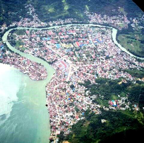
Sangatta, Indonesia: Submarine Cable Landing Point
Sangatta is a town on the island of Borneo, serving as the capital of East Kutai Regency in East Kalimantan, Indonesia. As a coastal settlement on the eastern seaboard of Kalimantan, Sangatta forms part of Indonesia's extensive submarine cable network, which spans 70 cables across 139 landing points nationwide. One submarine cable lands at Sangatta, connecting it to the broader Indonesian domestic cable infrastructure.
The single cable landing here, Link 2 Phase-1, operates entirely within Indonesia, making Sangatta a point on a domestic inter-island or intra-island corridor rather than an intercontinental route. This positions Sangatta as a modest but functional node within the Indonesian national cable grid, extending connectivity to the eastern Kalimantan coast.
Cables Landing at Sangatta
Link 2 Phase-1 is a submarine cable measuring 281 kilometres in length, which reached its ready-for-service date in 2004. The cable connects landing points exclusively within Indonesia, making it a domestic submarine cable system. With its relatively short span, Link 2 Phase-1 represents an intra-national link designed to carry traffic between Indonesian coastal locations rather than bridging international borders. The cable carries a draft designation in terms of its system status.
Regional Context
Within Indonesia's submarine cable landscape, Sangatta hosts a single cable, placing it in the top 62 percent of the country's 143 landing points by cable count. This stands in clear contrast to major Indonesian hubs such as Batam with 20 cables, Jakarta with 9, and Tanjung Pakis with 9, all of which serve as high-capacity international and domestic interchange nodes. Sangatta's role is correspondingly narrower, reflecting its position as a secondary domestic landing point on the Kalimantan coast rather than a primary national or international gateway.
Network Role
Sangatta functions as a single-cable terminus within Indonesia's domestic submarine cable network. The Link 2 Phase-1 cable, at 281 kilometres, enables connectivity along a corridor that remains entirely within Indonesian territory, supporting data and communications links between coastal communities on or around Kalimantan. Sangatta does not serve as a junction for international traffic or as a multi-cable aggregation point.
In the broader Indonesian submarine cable graph, Sangatta represents one of many distributed domestic landing points that collectively extend national network reach beyond the major hubs concentrated in Java and the western archipelago. Its presence illustrates how Indonesia's cable infrastructure is distributed across a large and geographically complex nation, with smaller landing points like Sangatta filling gaps in regional terrestrial and subsea connectivity.
Other Landing Points in Indonesia
Landing Point
- CountryID Indonesia
- Coordinates0.3245°N 117.5355°E
- Connected Cables1
See Real Cable Routes
View actual submarine cable routing from Sangatta, Indonesia - with backbone nodes, distance calculations, and latency estimates
Open Calculator →