Pegwell, Barbados
Landing Point · BB Barbados
1
Connected Cables
BB
Country
13.06°
Latitude
59.54°
Longitude
Ctrl + Scroll to zoom
Connected Cables
| Cable | Status |
|---|---|
| X-Link Submarine Cable | Active |
Live Performance
50
measurements
11
probes
114
days monitored
119.0
ms avg RTT
0
anomalies
RTT measurements to this landing point from 2026-06-24 through 2026-10-16 - live ICMP round-trip time via our monitoring probes. Recomputed daily. ✓ No anomalies detected in the monitored period.
Measurement sources
| Probe | Location | Samples | Avg |
|---|---|---|---|
| #64129 | control probe | 22 | 74.0 ms |
| #6410 own probe | Sao Paulo BR | 4 | 145.1 ms |
| #6427 own probe | Sydney AU | 4 | 287.4 ms |
| own probe | Minsk BY | 4 | 119.4 ms |
| own probe | Saint Petersburg RU | 4 | 125.9 ms |
| #6393 | control probe | 2 | 60.1 ms |
| #6487 | control probe | 2 | 303.4 ms |
| #27494 | control probe | 2 | 59.3 ms |
| #27546 | control probe | 2 | 74.9 ms |
| own probe | Almaty KZ | 2 | 98.8 ms |
| own probe | Kyiv UA | 2 | 208.4 ms |
About Pegwell, Barbados
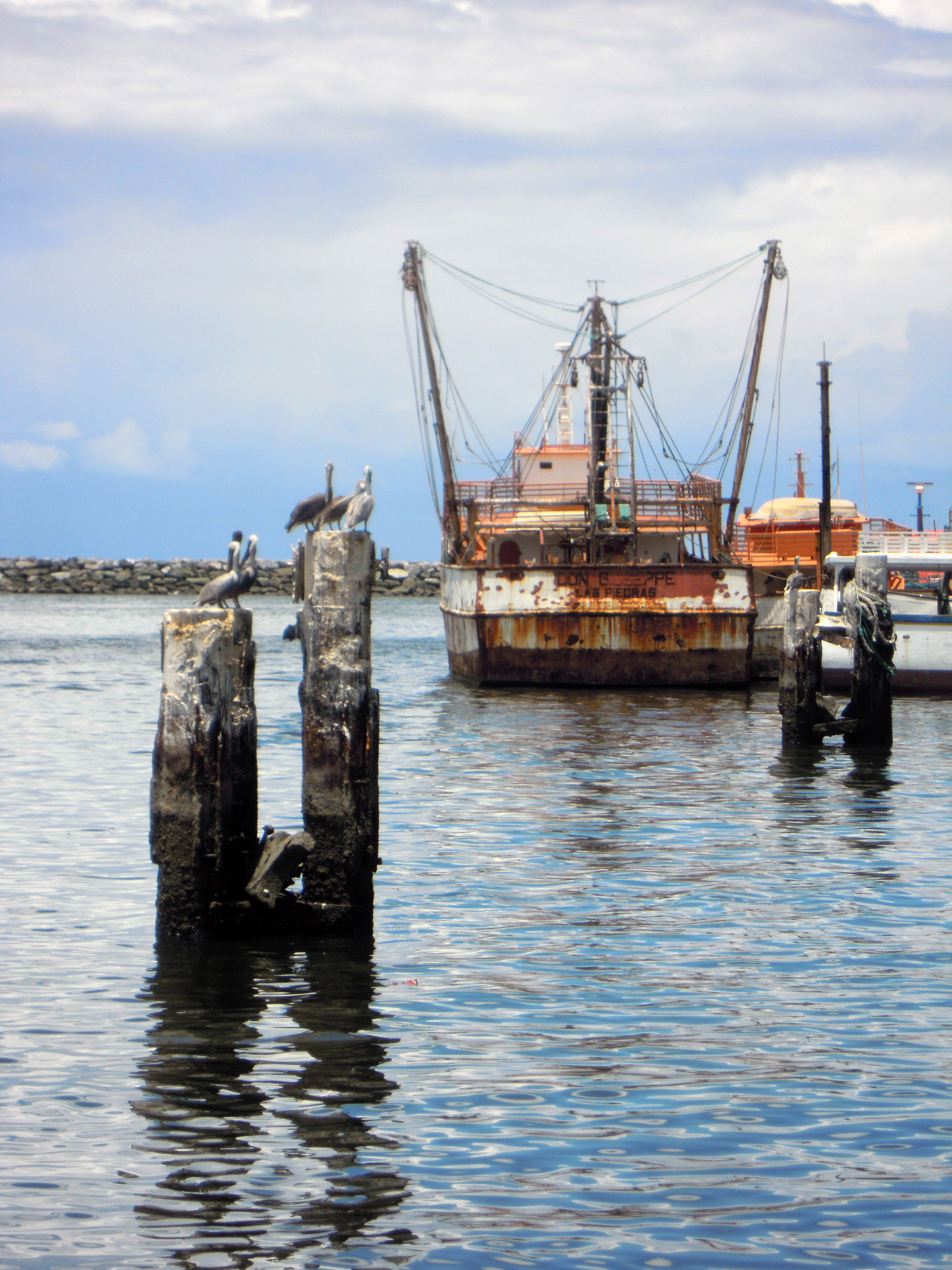
Pegwell, Barbados: A Quiet Link to Guyana
Pegwell, located on the southeastern coast of Barbados, is home to a single submarine cable landing point. Though it may not be as prominent as Bridgetown or Needham’s Point, Pegwell plays a unique role in connecting Barbados to its regional neighbor, Guyana. The cable landing here, the X-Link Submarine Cable, spans 775 km and has been operational since 2019.The X-Link Connection
The X-Link Submarine Cable is one of three cables serving Barbados, but it stands out for its direct link to Georgetown, Guyana. This connection is significant, as it provides a regional pathway between two Caribbean nations. While Bridgetown and Needham’s Point host their own single cables, Pegwell’s X-Link cable is the only one that ties Barbados directly to Guyana. This makes Pegwell a specialized node in the island’s broader connectivity network. Despite its modest infrastructure compared to global hubs, Pegwell’s role is clear: it offers a dedicated regional route that complements the international reach of other landing points in Barbados. For local networks, the data flow from Pegwell likely integrates into Barbados’ domestic systems before joining larger international cables at other points.Latency Insights: GeoCables Monitoring
GeoCables’ latency measurements provide a unique perspective on the performance of the X-Link Submarine Cable. Over 16 completed checks from seven source cities, the average round-trip latency to Pegwell was 191 ms, with a best-observed latency of just 33 ms. These numbers suggest a reliable connection, capable of supporting both regional and local data demands.Barbados’ Submarine Cable Landscape
Barbados hosts three submarine cables across three landing points, with Pegwell ranking alongside Bridgetown and Needham’s Point in terms of cable count. While the average cable length in Barbados is 1835 km, the X-Link Submarine Cable is shorter at 775 km, reflecting its regional focus. Pegwell’s single cable may seem modest, but it serves a specific purpose in the island’s connectivity strategy-linking Barbados to Guyana directly.A Quiet but Essential Role
Pegwell may not be the busiest landing point in Barbados, but its connection to Guyana adds an important dimension to the island’s network. By hosting the X-Link Submarine Cable, Pegwell ensures that Barbados maintains a direct regional link, complementing the more internationally focused cables at Bridgetown and Needham’s Point. For a small island nation, every landing point contributes to the bigger picture of connectivity, and Pegwell’s role, though quiet, is no less significant.What next: Pegwell, Barbados in the global directory of cable landing points; see surrounding routes on the interactive submarine cable map or follow live network monitoring.
Other Landing Points in Barbados
Landing Point
- CountryBB Barbados
- Coordinates13.0626°N 59.5363°W
- Connected Cables1
See Real Cable Routes
View actual submarine cable routing from Pegwell, Barbados - with backbone nodes, distance calculations, and latency estimates
Open Calculator →
Submarine cables
Land fiber
Live probes