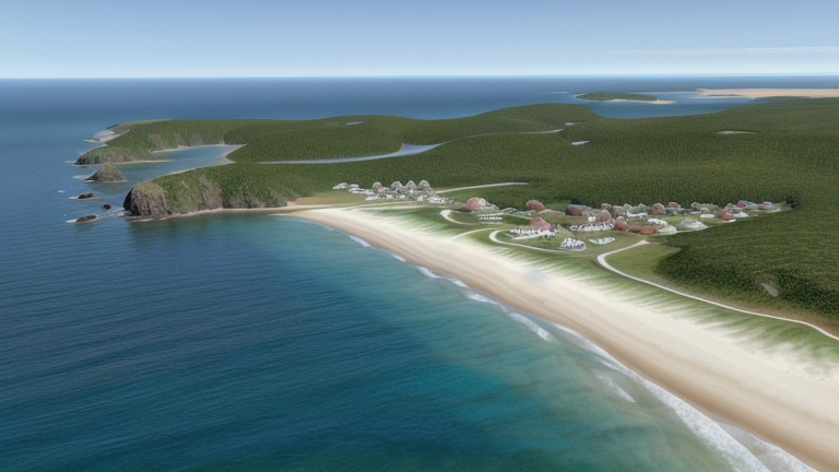
Chateaubelair, Saint Vincent and the Grenadines
Landing Point · VC Saint Vincent and the Grenadines
Connected Cables
| Cable | Status |
|---|---|
| Caribbean Regional Communications Infrastructure Program (CARCIP) | Active |
📡 Live Performance
RTT measurements to this landing point from 2026-07-10 through 2026-07-12 - live ICMP round-trip time via our monitoring probes. Recomputed daily. ✓ No anomalies detected in the monitored period.
Measurement sources
| Probe | Location | Samples | Avg |
|---|---|---|---|
| #6410 own probe | Sao Paulo BR | 2 | 172.7 ms |
| #6427 own probe | Sydney AU | 2 | 229.6 ms |
| #6487 own probe | Singapore SG | 2 | 232.3 ms |
| #1014473 own probe | Minsk BY | 2 | 193.3 ms |
| #1015563 own probe | Saint Petersburg RU | 2 | 195.9 ms |
| #1016031 own probe | Kyiv UA | 1 | 205.4 ms |
About Chateaubelair, Saint Vincent and the Grenadines
Chateaubelair: Submarine Cable Landing Point
Chateaubelair is a town situated on the leeward, western coast of Saint Vincent, the main island of Saint Vincent and the Grenadines. Located in the northern part of the island just south of the Soufrière volcano, it is the largest community in the North Leeward constituency and one of the more prominent towns on the island. Its western coastal position places it along a stretch of shoreline that connects it to the broader Eastern Caribbean submarine cable network.
One submarine cable lands at Chateaubelair: the Caribbean Regional Communications Infrastructure Program, commonly known as CARCIP. This cable links Saint Vincent and the Grenadines with Grenada, providing a regional inter-island connection within the southern Caribbean. Chateaubelair therefore serves as a node in a corridor that ties together two neighboring Eastern Caribbean island nations.
Cables Landing at Chateaubelair
The Caribbean Regional Communications Infrastructure Program (CARCIP) is a 225-kilometre submarine cable that reached ready-for-service status in 2019, with its deployment status noted as draft. The cable connects Saint Vincent and the Grenadines and Grenada, forming a direct inter-island link between these two southern Eastern Caribbean nations. Chateaubelair serves as the Saint Vincent and the Grenadines landing point for this system.
Regional Context
Within Saint Vincent and the Grenadines, submarine cable infrastructure is distributed across seven landing points, with Kingstown, the capital, hosting three cables and representing the most connected location in the country. Chateaubelair, alongside Bequia, Canouan, Mustique, Owia, and Union Island, each host a single cable, placing Chateaubelair among a group of single-cable landing points that collectively extend connectivity across the main island and the Grenadines chain. While Kingstown anchors the country's primary cable hub, Chateaubelair provides a distinct access point on the northern leeward coast of Saint Vincent.
Network Role
Chateaubelair functions as a single-cable terminus, anchoring the CARCIP system on Saint Vincent and connecting the island northwestward to Grenada across approximately 225 kilometres of the Eastern Caribbean Sea. This landing point enables a direct inter-island link that supplements the broader cable infrastructure centred on Kingstown, extending submarine cable reach to the northern leeward coast of Saint Vincent rather than concentrating all connectivity in the capital.
In the regional submarine cable graph for Saint Vincent and the Grenadines, Chateaubelair represents one of several distributed landing points that together give the country geographic redundancy and multi-point coastal access to international connectivity, ensuring that the northern leeward coast of Saint Vincent has its own direct cable connection to a neighboring Eastern Caribbean nation.
What next: Chateaubelair, Saint Vincent and the Grenadines in the global directory of cable landing points; see surrounding routes on the interactive submarine cable map or follow live network monitoring.
Other Landing Points in Saint Vincent and the Grenadines
Landing Point
- CountryVC Saint Vincent and the Grenadines
- Coordinates13.2909°N 61.2408°W
- Connected Cables1
See Real Cable Routes
View actual submarine cable routing from Chateaubelair, Saint Vincent and the Grenadines - with backbone nodes, distance calculations, and latency estimates
Open Calculator →