Oteranga Bay, New Zealand
Landing Point · NZ New Zealand
1
Connected Cables
NZ
Country
41.30°
Latitude
174.61°
Longitude
Ctrl + Scroll to zoom
Connected Cables
| Cable | Status |
|---|---|
| Cook Strait | Active |
Live Performance
26
measurements
11
probes
154
days monitored
291.9
ms avg RTT
0
anomalies
RTT measurements to this landing point from 2026-05-02 through 2026-10-04 - live ICMP round-trip time via our monitoring probes. Recomputed daily. ✓ No anomalies detected in the monitored period.
Measurement sources
| Probe | Location | Samples | Avg |
|---|---|---|---|
| own probe | Minsk BY | 5 | 315.7 ms |
| #6427 own probe | Sydney AU | 3 | 41.2 ms |
| #7062 own probe | Cape Town ZA | 3 | 388.6 ms |
| own probe | Odessa UA | 3 | 327.7 ms |
| #6487 | control probe | 2 | 136.6 ms |
| own probe | Almaty KZ | 2 | 369.1 ms |
| own probe | Tbilisi GE | 2 | 340.9 ms |
| own probe | Jerusalem IL | 2 | 352.8 ms |
| own probe | Moscow RU | 2 | 323.9 ms |
| #6410 own probe | Sao Paulo BR | 1 | 346.3 ms |
| own probe | Sevastopol UA | 1 | 344.7 ms |
About Oteranga Bay, New Zealand
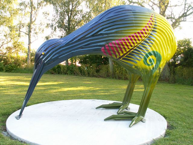
Oteranga Bay: A Gateway Across Cook Strait
Oteranga Bay, located on the southern tip of New Zealand's North Island, is home to one submarine cable: the Cook Strait cable. Though modest in scale compared to landing points like Auckland or New Plymouth, Oteranga Bay plays a unique role in connecting New Zealand's North and South Islands. The Cook Strait cable, spanning just 40 km, is a domestic link that also lands at Fighting Bay on the South Island. It stitches together two halves of the country, ensuring seamless communication and data exchange across this critical geographic divide.A Domestic Link with National Importance
Unlike major international hubs such as Auckland, which hosts three cables connecting New Zealand to the wider world, Oteranga Bay's focus is entirely domestic. The Cook Strait cable does not venture beyond New Zealand's borders, but its short length belies its importance. This cable ensures that the North and South Islands remain digitally connected, enabling everything from government operations to everyday internet usage across the country. It’s a key piece in New Zealand's broader network of 10 submarine cables, which collectively support the nation’s digital infrastructure.Regional Context: Oteranga Bay in the Network
New Zealand's submarine cable network spans 20 landing points, with Oteranga Bay ranking in the top 75% by cable count. While the bay hosts only one cable, it stands alongside other single-cable landing points like Christchurch, which also serve specific domestic purposes. In contrast, larger hubs like Auckland and Takapuna boast multiple cables, reflecting their roles as gateways to international connectivity. Oteranga Bay's singular focus on the Cook Strait cable highlights its specialized role in domestic inter-island communication.Latency Insights: Fast and Reliable
GeoCables' monitoring reveals impressive latency performance for Oteranga Bay. Across 16 completed checks from 10 source cities, the average round-trip latency is 310 ms, with the best observed latency being just 39 ms. These measurements underscore the efficiency of the Cook Strait cable in facilitating quick data transfers between the North and South Islands. For local businesses and residents, this reliability ensures smooth operations, whether it’s uploading files or streaming content.A Quiet Corner with a Big Role
Oteranga Bay may not have the international reach of Auckland or New Plymouth, but its role in New Zealand's domestic connectivity is undeniable. The Cook Strait cable ensures that the North and South Islands remain tightly linked, supporting the nation’s economy and daily life. In the grand tapestry of New Zealand’s submarine cable network, Oteranga Bay is a small but essential thread, keeping the country connected across its two main islands.What next: Oteranga Bay, New Zealand in the global directory of cable landing points; see surrounding routes on the interactive submarine cable map or follow live network monitoring.
Other Landing Points in New Zealand
NZ Auckland, New Zealand
36.8842°S 174.7704°E
NZ Christchurch, New Zealand
43.5321°S 172.6362°E
NZ Fighting Bay, New Zealand
41.3390°S 174.2360°E
NZ Greymouth, New Zealand
42.4667°S 171.2000°E
NZ Invercargill, New Zealand
46.4131°S 168.3475°E
NZ Kaikoura, New Zealand
42.4027°S 173.6830°E
NZ Levin, New Zealand
40.6253°S 175.2853°E
NZ Mangawhai, New Zealand
36.1262°S 174.5745°E
NZ Nelson, New Zealand
41.2723°S 173.2840°E
NZ New Plymouth, New Zealand
39.0667°S 174.0833°E
NZ Oara, New Zealand
42.5161°S 173.5061°E
NZ Paraparaumu, New Zealand
40.9191°S 174.9975°E
Landing Point
- CountryNZ New Zealand
- Coordinates41.3016°S 174.6134°E
- Connected Cables1
See Real Cable Routes
View actual submarine cable routing from Oteranga Bay, New Zealand - with backbone nodes, distance calculations, and latency estimates
Open Calculator →
Submarine cables
Land fiber
Live probes