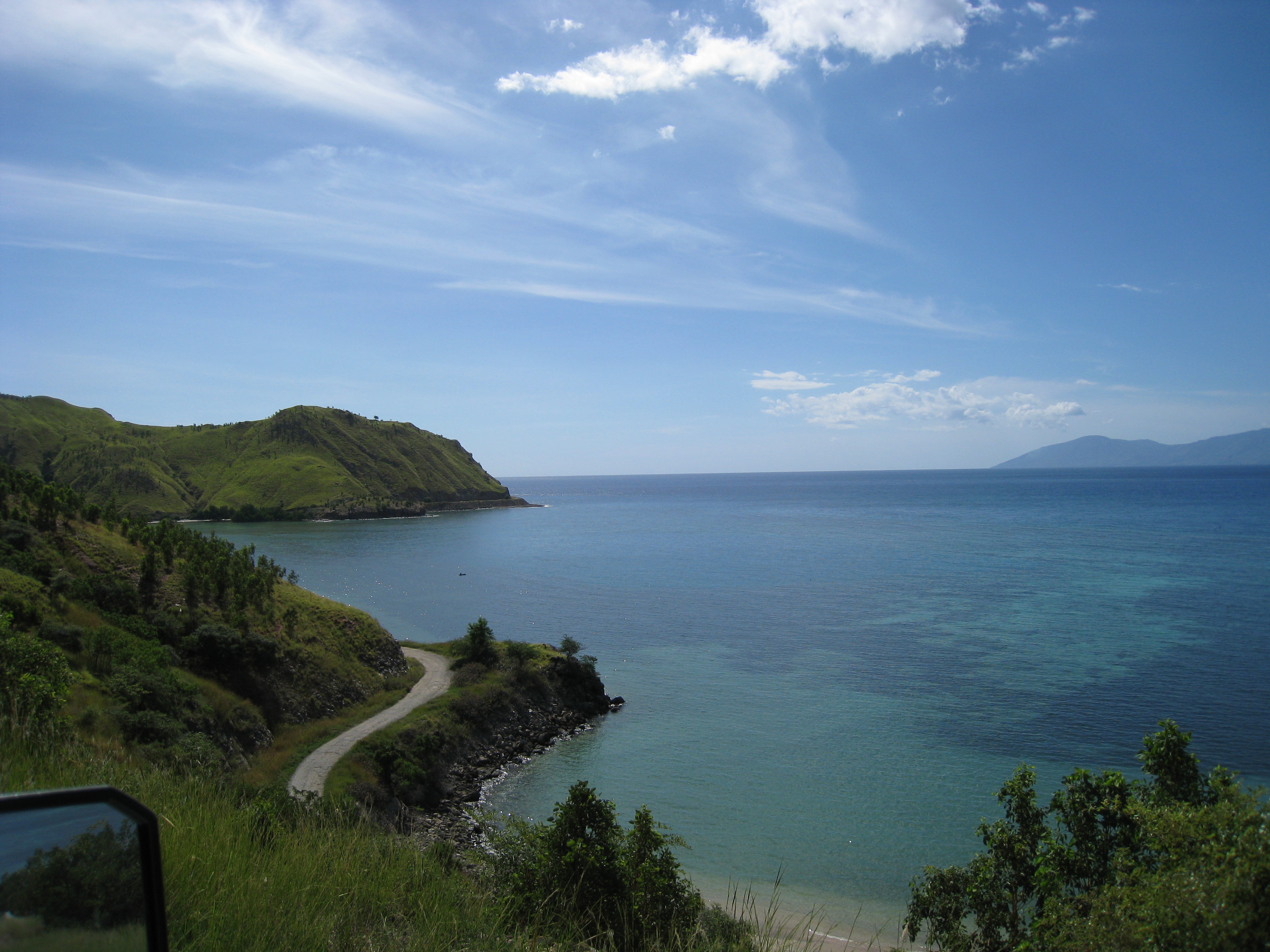
Namlea, Indonesia
Landing Point · ID Indonesia
Connected Cables
| Cable | Status |
|---|---|
| SMPCS Packet-1 | Active |
📡 Live Performance
RTT measurements to this landing point from 2026-04-08 through 2026-06-12 - live ICMP round-trip time via our monitoring probes. Recomputed daily. ✓ No anomalies detected in the monitored period.
Measurement sources
| Probe | Location | Samples | Avg |
|---|---|---|---|
| #1014589 own probe | Almaty KZ | 5 | 259.7 ms |
| #1014473 own probe | Minsk BY | 4 | 240.1 ms |
| #1014597 own probe | Tbilisi GE | 4 | 281.8 ms |
| #1014969 own probe | Jerusalem IL | 4 | 243.0 ms |
| #6410 own probe | Sao Paulo BR | 2 | 329.4 ms |
| #6427 own probe | Sydney AU | 2 | 107.8 ms |
| #6487 own probe | Singapore SG | 2 | 18.4 ms |
| #7062 own probe | Cape Town ZA | 2 | 322.6 ms |
| #1015313 own probe | Sevastopol UA | 2 | 237.8 ms |
| #1015523 own probe | Moscow RU | 2 | 206.3 ms |
About Namlea, Indonesia
Namlea: Submarine Cable Landing Point
Namlea is a town located on the north side of Kayeli Bay on the northeastern coast of Buru Island, Indonesia, and serves as the capital of Buru Regency. As an island-based settlement, its connectivity to the broader Indonesian archipelago depends in part on submarine cable infrastructure. One submarine cable lands at Namlea, linking the town into Indonesia's domestic intra-archipelago network.
The single cable serving Namlea is the SMPCS Packet-1, a domestic Indonesian system that connects multiple points within the country. Given that all endpoints on this cable are located within Indonesia, the connection it provides is inter-island in nature, facilitating domestic data and communications links across the archipelago rather than intercontinental or international routes.
Cables Landing at Namlea
SMPCS Packet-1 is a submarine cable system with a total length of 3,156 kilometres, which entered service in 2015 and is currently listed with draft status. The cable connects multiple landing points within Indonesia, making it a domestic intra-archipelago system. All other countries served by this cable are Indonesia, confirming its role as a purely internal Indonesian communications link. At 3,156 kilometres, the system is longer than Indonesia's average submarine cable length of 2,814 kilometres, reflecting the considerable distances involved in connecting the nation's dispersed island groups.
Regional Context
Within Indonesia's submarine cable landscape — which spans 70 cables across 139 landing points — Namlea hosts a single cable, placing it in the top 62 percent of Indonesian landing points by cable count. Indonesia's most connected hubs, such as Batam with 20 cables and Jakarta with 9 cables, serve as major multi-cable nodes, while Namlea represents one of the many smaller, single-cable landing points that extend connectivity to island communities across the archipelago. Its role is more akin to a domestic terminus than a regional hub.
Network Role
Namlea functions as a single-cable terminus within Indonesia's domestic submarine cable network. The SMPCS Packet-1 system ties Buru Island into the broader chain of Indonesian intra-archipelago connections, enabling communications between Namlea and other Indonesian landing points served by the same cable. There is no international or intercontinental routing dimension to this landing point based on the cable's endpoint configuration.
As a single-cable domestic landing point serving an island capital, Namlea illustrates the role that smaller submarine cable termini play in extending Indonesia's internal network across its more than seventeen thousand islands. Within the Indonesian submarine cable graph, it represents a connectivity node for Buru Island that would otherwise be reliant solely on other means of communications.
Namlea, Indonesia in the global directory of cable landing points; see surrounding routes on the interactive submarine cable map or follow live network monitoring.
Other Landing Points in Indonesia
Landing Point
- CountryID Indonesia
- Coordinates3.2334°S 127.0858°E
- Connected Cables1
See Real Cable Routes
View actual submarine cable routing from Namlea, Indonesia - with backbone nodes, distance calculations, and latency estimates
Open Calculator →