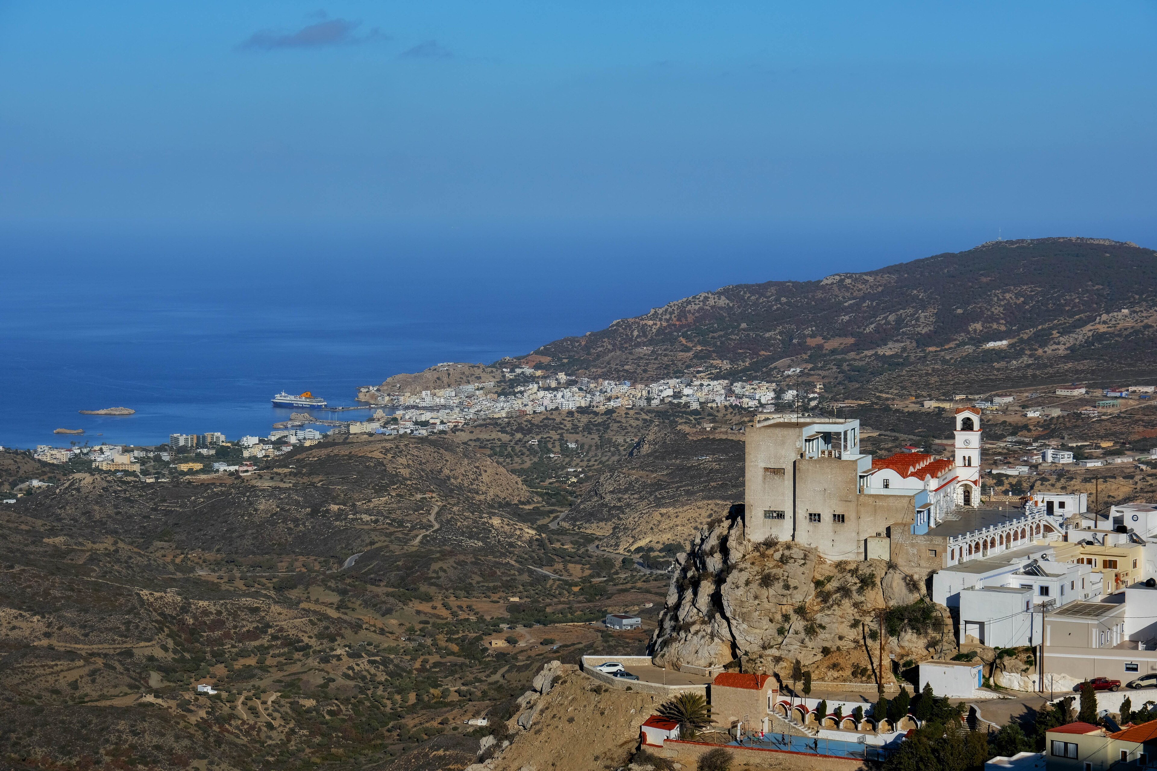
Mykonos, Greece
Landing Point · GR Greece
Connected Cables
| Cable | Status |
|---|---|
| Cyclades A | Active |
| Cyclades B | Active |
| Thetis | Active |
📡 Live Performance
RTT measurements to this landing point from 2026-03-03 through 2026-06-26 - live ICMP round-trip time via our monitoring probes. Recomputed daily. ✓ No anomalies detected in the monitored period.
Measurement sources
| Probe | Location | Samples | Avg |
|---|---|---|---|
| #1014589 own probe | Almaty KZ | 4 | 108.1 ms |
| #1014597 own probe | Tbilisi GE | 4 | 82.2 ms |
| #1014473 own probe | Minsk BY | 3 | 53.0 ms |
| #1014969 own probe | Jerusalem IL | 3 | 100.9 ms |
| #6410 own probe | Sao Paulo BR | 1 | 272.4 ms |
| #6427 own probe | Sydney AU | 1 | 264.9 ms |
| #1015523 own probe | Moscow RU | 1 | 60.3 ms |
| #1015932 own probe | Odessa UA | 1 | 79.0 ms |
| #1015984 own probe | Balancer IL | 1 | 119.0 ms |
About Mykonos, Greece
Mykonos, Greece: Submarine Cable Landing Point
Mykonos is a Greek island in the Cyclades archipelago, situated in the Aegean Sea between the islands of Tinos, Syros, Paros, and Naxos. As a landing point for submarine cables, it forms part of the intra-Greek connectivity framework that links the Cyclades island group to the broader national network. Three submarine cables land at Mykonos, making it a notable node within the regional cable infrastructure of Greece.
All three cables landing at Mykonos — Thetis, Cyclades A, and Cyclades B — connect exclusively to other landing points within Greece, establishing Mykonos as a domestic inter-island hub rather than an intercontinental gateway. This concentration of intra-national cables reflects the logistical necessity of connecting dispersed Aegean island communities through dedicated submarine links. The cables span a range of distances and represent successive deployments across a period from 2018 to 2022.
Cables Landing at Mykonos
Thetis is a submarine cable measuring 660 km in length, with a ready-for-service (RFS) date of 2022. It connects Mykonos to other landing points within Greece, making it the longest of the three cables at this landing point and the most recently commissioned.
Cyclades A spans 222 km and entered service in 2018. Like Thetis, it links Mykonos exclusively to other Greek landing points, providing inter-island connectivity across the Cyclades region.
Cyclades B is the shortest of the three cables at 52 km, with an RFS date of 2020. It also connects Mykonos to other locations within Greece, serving as a focused short-haul link within the Cyclades network.
Regional Context
Among the 36 submarine cable landing points in Greece, Mykonos ranks in the top 92% by cable count, hosting three cables alongside regional peers such as Naousa, which also serves three cables. It sits below higher-density hubs such as Chania with five cables, Athens with four, and Tympaki with four, but exceeds the two-cable landing points of Aethos and Ermoupoli. This positions Mykonos as a mid-tier landing point within the Greek submarine cable network, with meaningful but focused connectivity.
Network Role
Mykonos functions as a multi-cable domestic terminus, with all three of its cables — Thetis, Cyclades A, and Cyclades B — oriented entirely within Greece. Together, they span a combined distance of 934 km across their respective routes, enabling island-to-island and island-to-mainland connectivity across the Cyclades. The sequencing of deployments between 2018 and 2022 suggests a phased expansion of submarine capacity serving this part of the Aegean.
Within the broader Greek submarine cable graph, Mykonos occupies a role specific to intra-national inter-island routing rather than international traffic exchange. Its presence among 36 Greek landing points underscores the geographic reality of island archipelagos, where submarine cables serve as the principal means of fixed telecommunications connectivity between communities separated by open water.
Mykonos, Greece in the global directory of cable landing points; see surrounding routes on the interactive submarine cable map or follow live network monitoring.
Other Landing Points in Greece
FAQ
Landing Point
- CountryGR Greece
- Coordinates37.4469°N 25.3286°E
- Connected Cables3
See Real Cable Routes
View actual submarine cable routing from Mykonos, Greece - with backbone nodes, distance calculations, and latency estimates
Open Calculator →