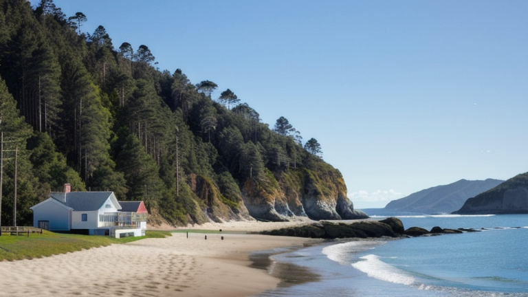
Mataram, Indonesia
Landing Point · ID Indonesia
Connected Cables
| Cable | Status |
|---|---|
| JaKa2LaDeMa | Active |
📡 Live Performance
RTT measurements to this landing point from 2026-04-20 through 2026-07-15 - live ICMP round-trip time via our monitoring probes. Recomputed daily. ✓ No anomalies detected in the monitored period.
Measurement sources
| Probe | Location | Samples | Avg |
|---|---|---|---|
| #1014473 own probe | Minsk BY | 6 | 217.6 ms |
| #1014589 own probe | Almaty KZ | 6 | 252.9 ms |
| #1014597 own probe | Tbilisi GE | 4 | 214.6 ms |
| #1014969 own probe | Jerusalem IL | 4 | 223.8 ms |
| #1015313 own probe | Sevastopol UA | 4 | 231.0 ms |
| #1015523 own probe | Moscow RU | 3 | 209.0 ms |
| #6410 own probe | Sao Paulo BR | 2 | 360.7 ms |
| #6427 own probe | Sydney AU | 2 | 107.3 ms |
| #6487 own probe | Singapore SG | 2 | 19.5 ms |
| #61791 | control probe | 1 | 25.9 ms |
| #1010039 | control probe | 1 | 26.2 ms |
About Mataram, Indonesia
Mataram, Indonesia: Submarine Cable Landing Point
Mataram is the capital of West Nusa Tenggara province and the largest city on the western side of Lombok island, Indonesia. As a coastal city, Mataram serves as a submarine cable landing point within Indonesia's broader archipelagic network. One submarine cable lands here, connecting Mataram to other points within the Indonesian island chain.
The single cable serving Mataram is the JaKa2LaDeMa system, a domestic cable linking multiple Indonesian landing points. Its presence here reflects the role that inter-island submarine infrastructure plays in connecting Lombok and the surrounding region to the rest of the country. The corridor this cable enables is intra-national, oriented toward knitting together Indonesia's dispersed islands rather than spanning international or intercontinental routes.
Cables Landing at Mataram
JaKa2LaDeMa is a submarine cable system with a total length of 1,700 km, reaching ready-for-service status in 2010. All other landing points on this cable are also located within Indonesia, making it a wholly domestic system. Its name, JaKa2LaDeMa, suggests a route touching multiple Indonesian island destinations, and Mataram on Lombok is one of the points along this inter-island corridor. No additional technical specifications beyond length and RFS year are recorded for this cable at this landing point.
Regional Context
Within Indonesia's submarine cable landscape — which spans 70 cables across 139 landing points — Mataram ranks among the more modestly connected locations, hosting a single cable compared to major hubs such as Batam (20 cables), Jakarta (9 cables), Tanjung Pakis (9 cables), and Manado (8 cables). Nonetheless, Mataram's position places it in the top 62% of Indonesian landing points by cable count, reflecting that a large number of Indonesia's 139 landing points serve similarly focused, single-cable roles. As the provincial capital and largest city in West Nusa Tenggara, Mataram represents an important node in the domestic inter-island connectivity picture even with a single cable connection.
Network Role
Mataram functions as a single-cable terminus within the JaKa2LaDeMa domestic system, rather than as a multi-cable hub. Its role is specifically oriented toward intra-Indonesian connectivity, linking Lombok into a broader chain of island communities served by this 1,700 km cable. The landing point does not participate in any international cable routes based on available records.
In the wider Indonesian submarine cable graph, Mataram's contribution is that of a regional access point on a domestic inter-island system, extending the reach of submarine infrastructure into West Nusa Tenggara — a province that would otherwise rely solely on terrestrial or overland alternatives for long-distance data connectivity.
What next: Mataram, Indonesia in the global directory of cable landing points; see surrounding routes on the interactive submarine cable map or follow live network monitoring.
Other Landing Points in Indonesia
Landing Point
- CountryID Indonesia
- Coordinates8.5864°S 116.0815°E
- Connected Cables1
See Real Cable Routes
View actual submarine cable routing from Mataram, Indonesia - with backbone nodes, distance calculations, and latency estimates
Open Calculator →