Labuhan Bajo, Indonesia
Landing Point · ID Indonesia
1
Connected Cables
ID
Country
8.49°
Latitude
119.88°
Longitude
Ctrl + Scroll to zoom
Connected Cables
| Cable | Status |
|---|---|
| Indonesia Tengah Cable Systems | Planned |
📡 Live Performance
15
measurements
9
probes
73
days monitored
220.7
ms avg RTT
0
anomalies
RTT measurements to this landing point from 2026-04-14 through 2026-06-26 - live ICMP round-trip time via our monitoring probes. Recomputed daily. ✓ No anomalies detected in the monitored period.
Measurement sources
| Probe | Location | Samples | Avg |
|---|---|---|---|
| #1014473 own probe | Minsk BY | 3 | 210.3 ms |
| #1014589 own probe | Almaty KZ | 3 | 257.3 ms |
| #1014597 own probe | Tbilisi GE | 2 | 259.2 ms |
| #1014969 own probe | Jerusalem IL | 2 | 221.2 ms |
| #6410 own probe | Sao Paulo BR | 1 | 386.3 ms |
| #6427 own probe | Sydney AU | 1 | 107.4 ms |
| #6487 own probe | Singapore SG | 1 | 19.0 ms |
| #1015313 own probe | Sevastopol UA | 1 | 230.2 ms |
| #1015523 own probe | Moscow RU | 1 | 205.0 ms |
About Labuhan Bajo, Indonesia
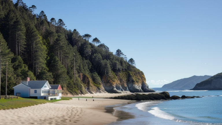
Labuhan Bajo: A Remote Gateway in Indonesia's Submarine Cable Network
Labuhan Bajo, a picturesque town located on the western tip of Flores Island in Indonesia, is known for its stunning landscapes and as a gateway to the Komodo National Park. While its natural beauty draws tourists from around the world, Labuhan Bajo is also quietly becoming a part of Indonesia's growing digital infrastructure. The town hosts a single submarine cable landing point for the Indonesia Tengah Cable Systems, a domestic cable set to be ready for service (RFS) in 2027.Connecting the Islands: The Indonesia Tengah Cable Systems
The Indonesia Tengah Cable Systems spans 2,641 kilometers and connects Labuhan Bajo to nine other landing points across Indonesia, including Makassar, Baubau, and Kendari. This cable forms a key link in stitching together the archipelago's eastern regions, which often face connectivity challenges due to their remote locations. Unlike major hubs such as Batam (20 cables) or Jakarta (10 cables), Labuhan Bajo's single cable reflects its more modest role in the national network. However, this connection is a significant step for the town, providing it with a reliable pathway to the broader Indonesian digital ecosystem.Latency Measurements: A Reliable Connection
GeoCables' latency monitoring reveals that Labuhan Bajo offers an average round-trip latency of 221 milliseconds, with the best observed latency at an impressive 19 milliseconds. These numbers suggest that the cable is capable of supporting modern digital demands, from basic internet browsing to more data-intensive activities. For a town that has historically relied on slower and less reliable terrestrial connections, this submarine cable represents a leap forward in connectivity.Labuhan Bajo's Role in the Chain
Labuhan Bajo is one of ten landing points on the Indonesia Tengah Cable Systems, forming part of a chain that links remote towns and cities across the archipelago. While larger cities like Makassar host six cables and serve as regional hubs, Labuhan Bajo's inclusion in this network ensures that even smaller and more isolated communities have access to improved digital infrastructure. This connectivity is essential for supporting local businesses, tourism, and education in the region.A Modest but Meaningful Step Forward
Indonesia's submarine cable network is vast, with 70 cables landing across 139 points nationwide. Labuhan Bajo ranks in the top 62% of landing points by cable count, a modest position compared to major hubs like Batam or Jakarta. Yet, for a town better known for its natural wonders than its technological infrastructure, the arrival of the Indonesia Tengah Cable Systems is a meaningful development. It underscores Indonesia's commitment to extending digital access to even its most remote corners, ensuring that places like Labuhan Bajo can participate in the country's digital future. Labuhan Bajo may not rival Indonesia's major cable hubs, but its single connection is a lifeline for the region's development. As the Indonesia Tengah Cable Systems comes online in 2027, this small town will be better positioned to thrive in an increasingly connected world.Other Landing Points in Indonesia
ID Aeng Batu Batu, Indonesia
5.3433°S 119.3846°E
ID Agats, Indonesia
5.5356°S 138.1214°E
ID Alor, Indonesia
8.3207°S 124.4038°E
ID Ambon, Indonesia
3.6554°S 128.1907°E
ID Ancol, Indonesia
6.1290°S 106.8334°E
ID Anyer, Indonesia
6.0737°S 105.8839°E
ID Baa, Indonesia
10.7333°S 123.0353°E
ID Bali, Indonesia
8.4101°S 115.6924°E
ID Balikpapan, Indonesia
1.2654°S 116.8312°E
ID Bandaneria, Indonesia
4.5202°S 129.8721°E
ID Bandar Lampung, Indonesia
5.4092°S 105.2541°E
ID Bangga, Indonesia
1.6003°S 123.5275°E
Landing Point
- CountryID Indonesia
- Coordinates8.4871°S 119.8785°E
- Connected Cables1
See Real Cable Routes
View actual submarine cable routing from Labuhan Bajo, Indonesia - with backbone nodes, distance calculations, and latency estimates
Open Calculator →
🌊 Submarine cables
🛤 Land fiber
📡 Live probes