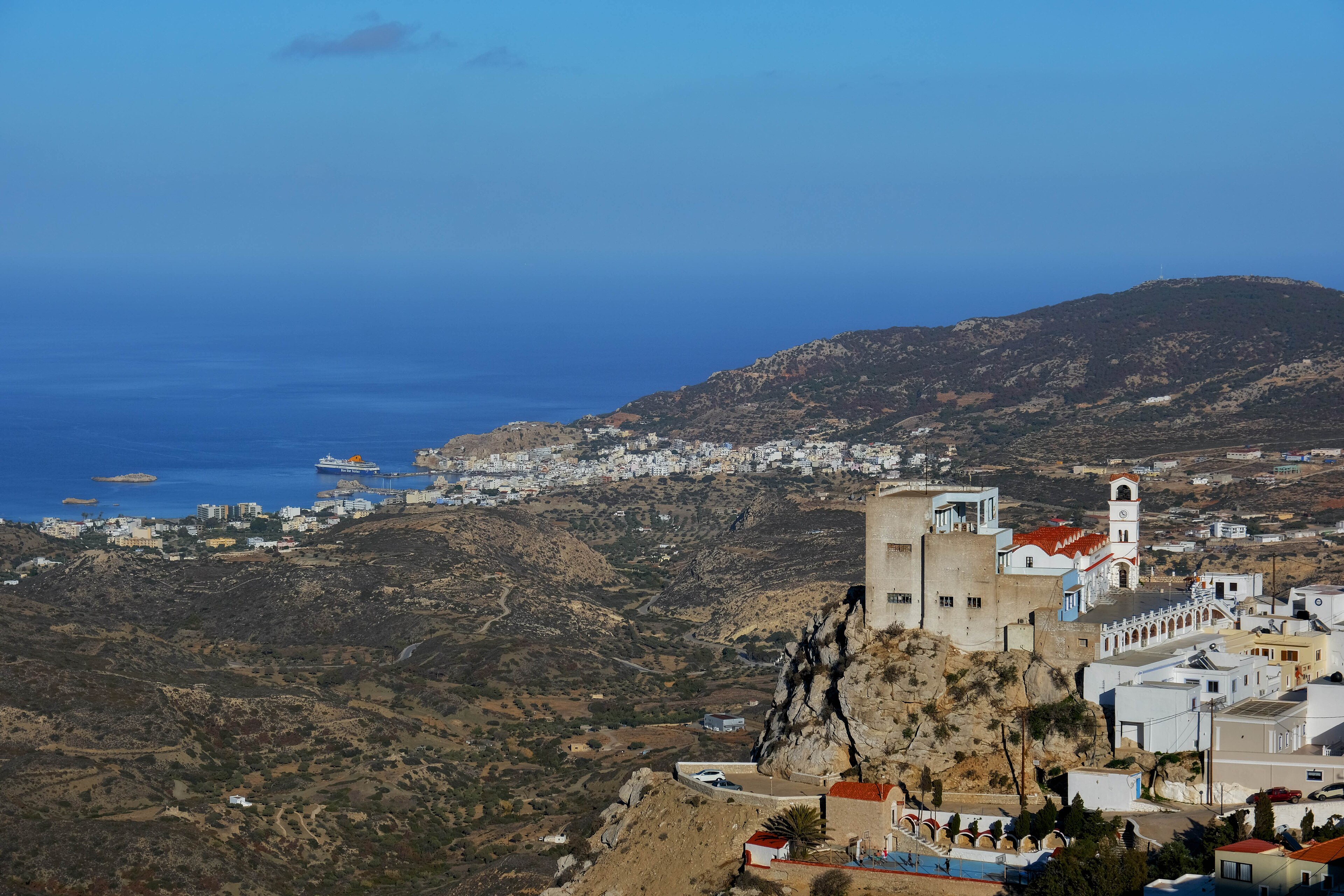
Kremasti, Greece
Landing Point · GR Greece
Connected Cables
| Cable | Status |
|---|---|
| Thetis | Active |
📡 Live Performance
RTT measurements to this landing point from 2026-03-17 through 2026-06-13 - live ICMP round-trip time via our monitoring probes. Recomputed daily. ✓ No anomalies detected in the monitored period.
Measurement sources
| Probe | Location | Samples | Avg |
|---|---|---|---|
| #1014969 own probe | Jerusalem IL | 4 | 99.1 ms |
| #1014473 own probe | Minsk BY | 3 | 51.3 ms |
| #1014589 own probe | Almaty KZ | 3 | 107.1 ms |
| #1014597 own probe | Tbilisi GE | 3 | 80.6 ms |
| #6410 own probe | Sao Paulo BR | 1 | 231.5 ms |
| #6427 own probe | Sydney AU | 1 | 267.1 ms |
| #1015932 own probe | Odessa UA | 1 | 87.5 ms |
| #1015984 own probe | Balancer IL | 1 | 98.7 ms |
About Kremasti, Greece
Kremasti: Submarine Cable Landing Point
Kremasti is a town on the west coast of Rhodes, a Greek island situated in the southeastern Aegean Sea. As a submarine cable landing point, Kremasti connects Rhodes to the broader Greek domestic submarine cable network. One submarine cable currently lands at Kremasti, linking it to other points within Greece and supporting intra-national connectivity across the Greek island chain.
The single cable landing here, Thetis, operates entirely within Greece, making Kremasti a domestic rather than an intercontinental landing point. Its role is oriented toward regional and inter-island connectivity, reflecting a pattern common to many of Greece's 36 submarine cable landing points, which together host 20 submarine cables serving both domestic and international corridors.
Cables Landing at Kremasti
Thetis is a submarine cable with a total length of 660 km, with a ready-for-service (RFS) date of 2022 and a draft status. The cable connects landing points exclusively within Greece, providing domestic inter-island or coastal connectivity. At 660 km, Thetis is considerably shorter than the average submarine cable landing in Greece, which spans approximately 2,663 km, underscoring its role as a regional rather than long-haul system. Kremasti on Rhodes serves as one of the termination points on this cable.
Regional Context
Among Greece's 36 submarine cable landing points, Kremasti hosts a single cable, placing it in the lower tier by cable count. By comparison, Chania leads with five cables, while Athens and Tympaki each host four, and Mykonos, Naousa, and Aethos host three and two respectively. Kremasti ranks within the top 78 percent of Greek landing points by cable count, meaning a significant share of Greek landing points also host only one cable, and Kremasti's position is broadly representative of smaller island landing points in the national network.
Network Role
Kremasti functions as a single-cable terminus, connecting the island of Rhodes into the Greek domestic submarine cable network via the Thetis system. Its connectivity is oriented entirely toward intra-national links, enabling Rhodes to maintain submarine cable ties to other Greek destinations without relying solely on terrestrial or satellite infrastructure.
While Kremasti does not serve as a multi-cable hub or an intercontinental gateway, its presence as a landing point on Rhodes contributes to the geographic distribution of submarine cable infrastructure across the Greek island system. In the broader Greek submarine cable graph, landing points like Kremasti ensure that island communities are reachable through dedicated undersea links rather than depending exclusively on larger, more centralised hubs.
Other Landing Points in Greece
Landing Point
- CountryGR Greece
- Coordinates36.4116°N 28.1201°E
- Connected Cables1
See Real Cable Routes
View actual submarine cable routing from Kremasti, Greece - with backbone nodes, distance calculations, and latency estimates
Open Calculator →